Dettifoss in Iceland: getting there, both banks and trails
Dettifoss lies in Jökulsárgljúfur canyon in northern Iceland. It is about 44–45 m high and 100 m wide. Paved road 862 leads to the west bank, while gravel road 864 approaches from the east. I recommend the east for its views of the waterfall and canyon, provided the road is open. There is no crossing between the banks at the falls; part of the Fosshvamm area on the west bank was closed after a landslide.
| Before your visit | Practical information |
|---|---|
| Region | Northeast Iceland, Jökulsárgljúfur in Vatnajökull National Park |
| Height and width | About 44–45 m high and 100 m wide |
| Western approach | Road 862, paved; limited winter maintenance |
| Eastern approach | Road 864, gravel; opening depends on conditions |
| Short walk | D1 from the west car park, approximately 30–60 minutes |
| Two waterfalls on one walk | D2: Dettifoss and Selfoss, about 2.5 km and one hour |
| Access changes | Fosshvamm on the west bank permanently closed following the May 2026 decision |
| Preparation | Wet rocks, wind and changeable weather; a separate drive to each bank |
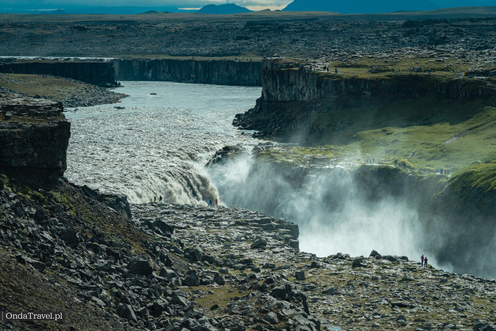
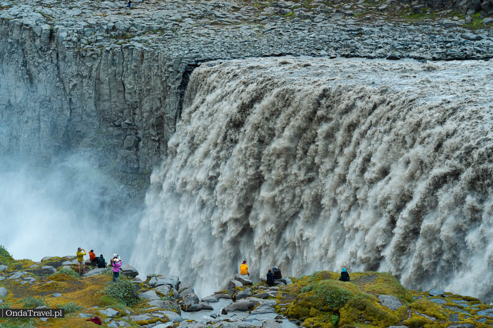
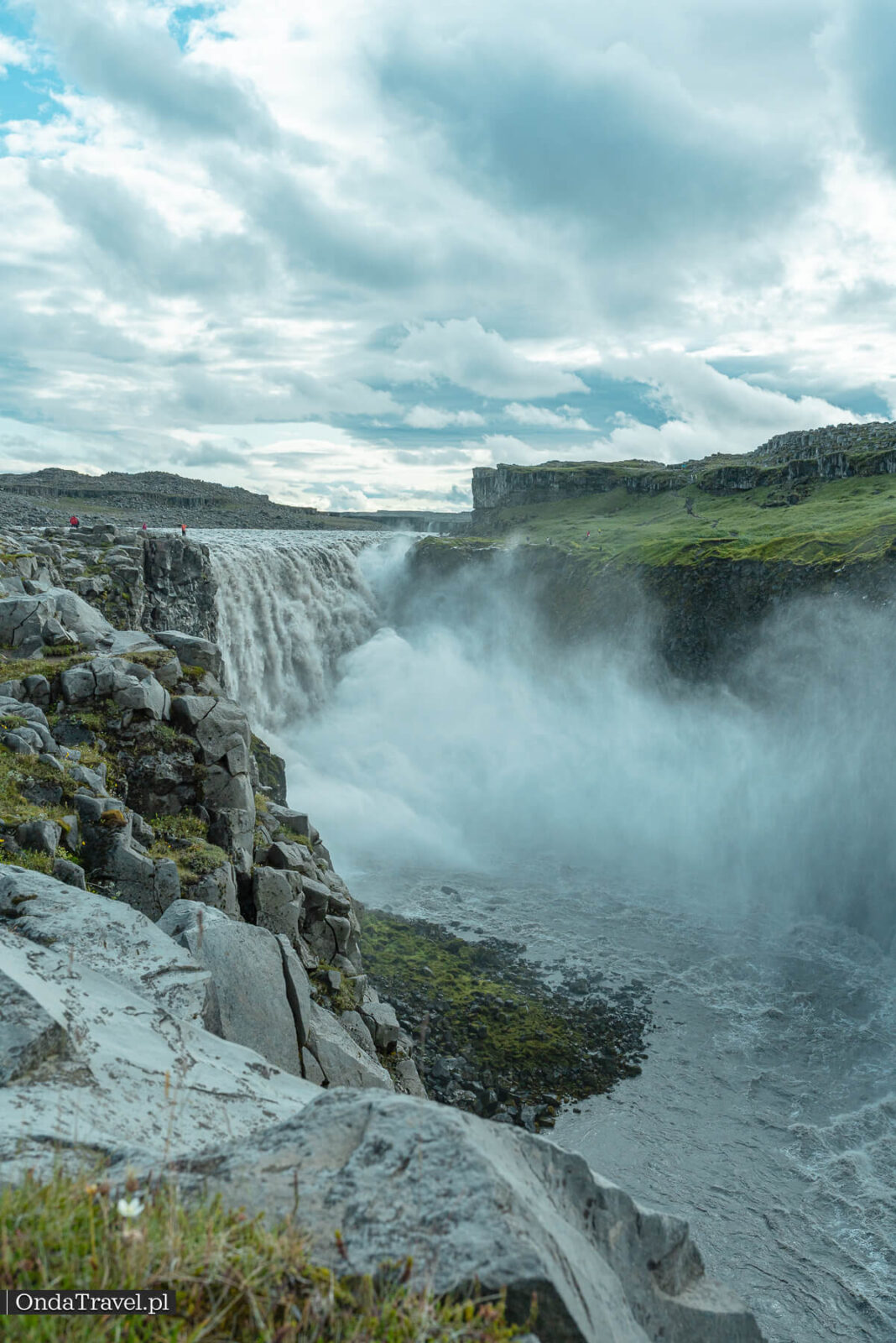
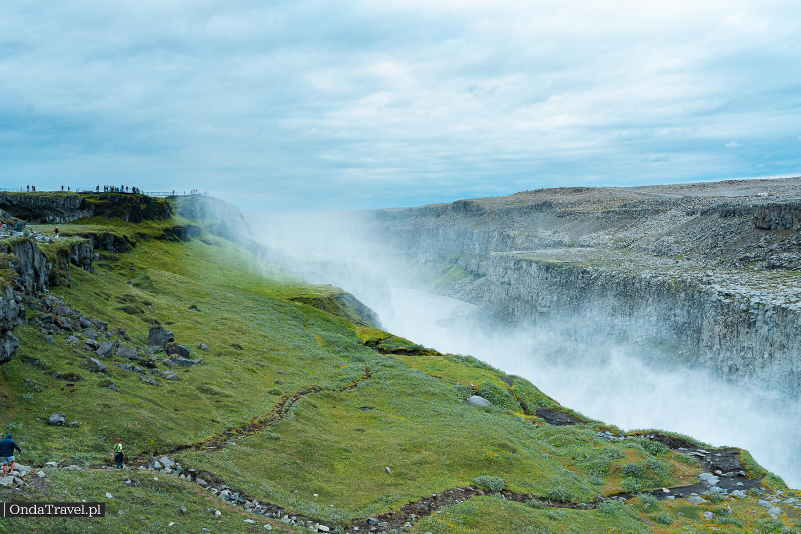
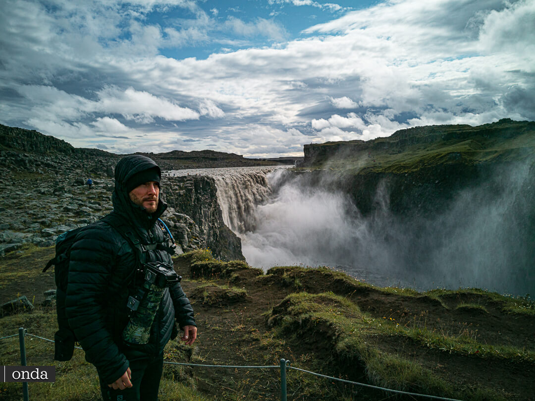
The broad, grey-brown river drops over a rock ledge and disappears into a cloud of spray. What strikes you at Dettifoss is the scale: the width of the falls, the depth of the canyon and the tiny figures along its edge. Allow time for Selfoss and a view of Hafragilsfoss too. Each reveals a different stretch of the same valley.
Dettifoss needs a separate stage of your trip in the north of the island. If you are still choosing which regions to visit, start with the Iceland guide. It will help you compare the north with the south and west before planning each day.

TRIP PLANNING
Iceland: regions and routes
Guides organised by region, suggested itineraries and practical information before your trip.
Contents
- Where is Dettifoss?
- East or west bank? My choice
- Fosshvamm closure after the landslide
- Getting to Dettifoss: roads 862 and 864
- D1: the walk from the west car park
- Selfoss and the D2 loop
- Hafragilsfoss, Jökulsárgljúfur and Ásbyrgi
- Basalt and a glacial river
- The floods that carved the canyon
- Dettifoss in “Prometheus”
- When to visit and how to photograph Dettifoss
- Fitting Dettifoss into an Iceland itinerary
- What to check before setting off
- Read next: waterfalls and other places in Iceland
- Questions before visiting Dettifoss

Check out my YouTube channel and travel with me.
Follow the channel for videos, routes and practical travel inspiration.
Follow me here:
What’s up?
Enjoying my content?
Buy me a coffee at buycoffee.to/ondatravel and support the creation of more travel content.
Your support helps me create more practical guides, videos and travel inspiration.

Where is Dettifoss?
Jökulsá á Fjöllum flows through Jökulsárgljúfur, carrying glacial water from the Vatnajökull region. Sediment gives the river its grey or brown colour. A series of rock steps lies between the canyon’s dark walls; Dettifoss is the best known.
Vatnajökull National Park describes Dettifoss as Europe’s most powerful waterfall and gives its dimensions as about 44–45 m high and 100 m wide. That description refers to its power, rather than a record for height. The volume of water changes through the year, so a single figure without a measurement date says little about conditions on a particular visit.
Selfoss lies upstream on the same river, with Hafragilsfoss downstream. Their positions are clear on the maps and route descriptions from Vatnajökull National Park. You can view Dettifoss from either bank, but you need to choose your approach in advance.

East or west bank? My choice
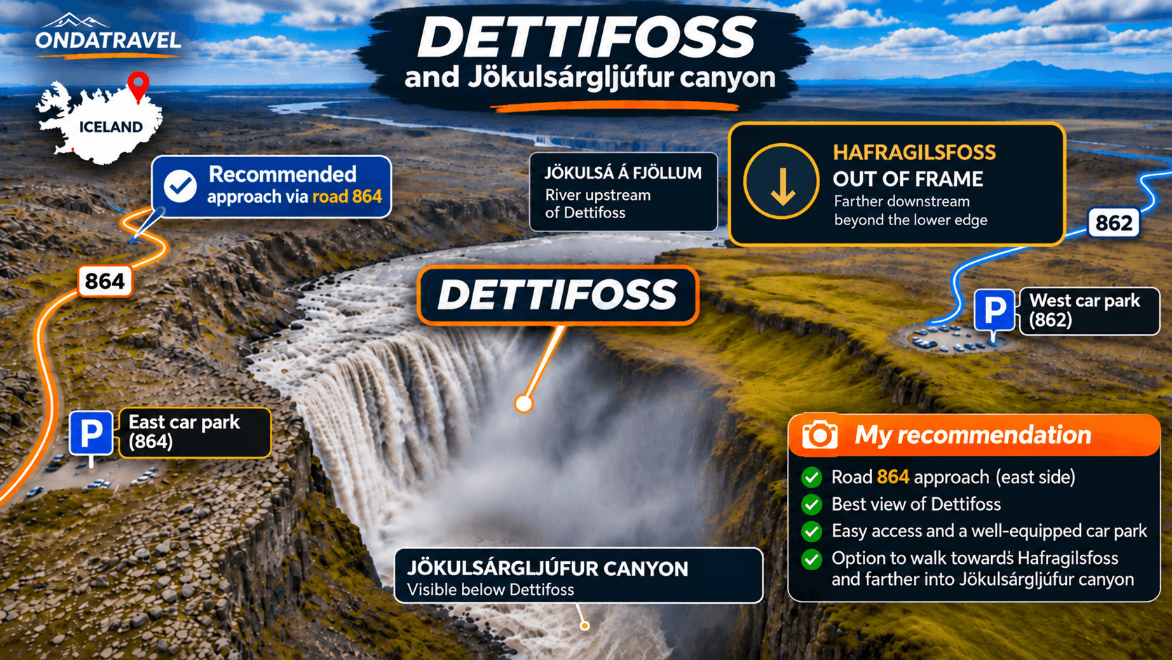
I recommend the east bank, reached along Hólsfjallavegur, or road 864. I find its view of the falls and rock walls more interesting for photography. When the access roads are open, you can also combine Dettifoss with the viewpoint at Hafragilsfoss. The road must be passable, so this option will not work at every time of year.
West bank, road 862: a paved approach and a car park where the park’s D1 and D2 walks begin. This is the easier driving option. Winter maintenance is limited, and access to some viewpoints along the canyon edge changed after the landslide.
East bank, road 864: a gravel approach that needs more time. The road may close after autumn snowfall, and its spring reopening also depends on the surface drying out. Check both the conditions and your rental company’s rules for your vehicle.
Choose 862 if an easier drive on a paved road is your priority. If you want the panorama I recommend and 864 is open, choose the east. Do not plan on a short walk from one bank to the other: there is no bridge at the waterfall.
Before setting off, check road conditions on Umferdin and the park’s notices. Enter the specific car park in your navigation app: Dettifoss East or Dettifoss West.
Fosshvamm closure after the landslide
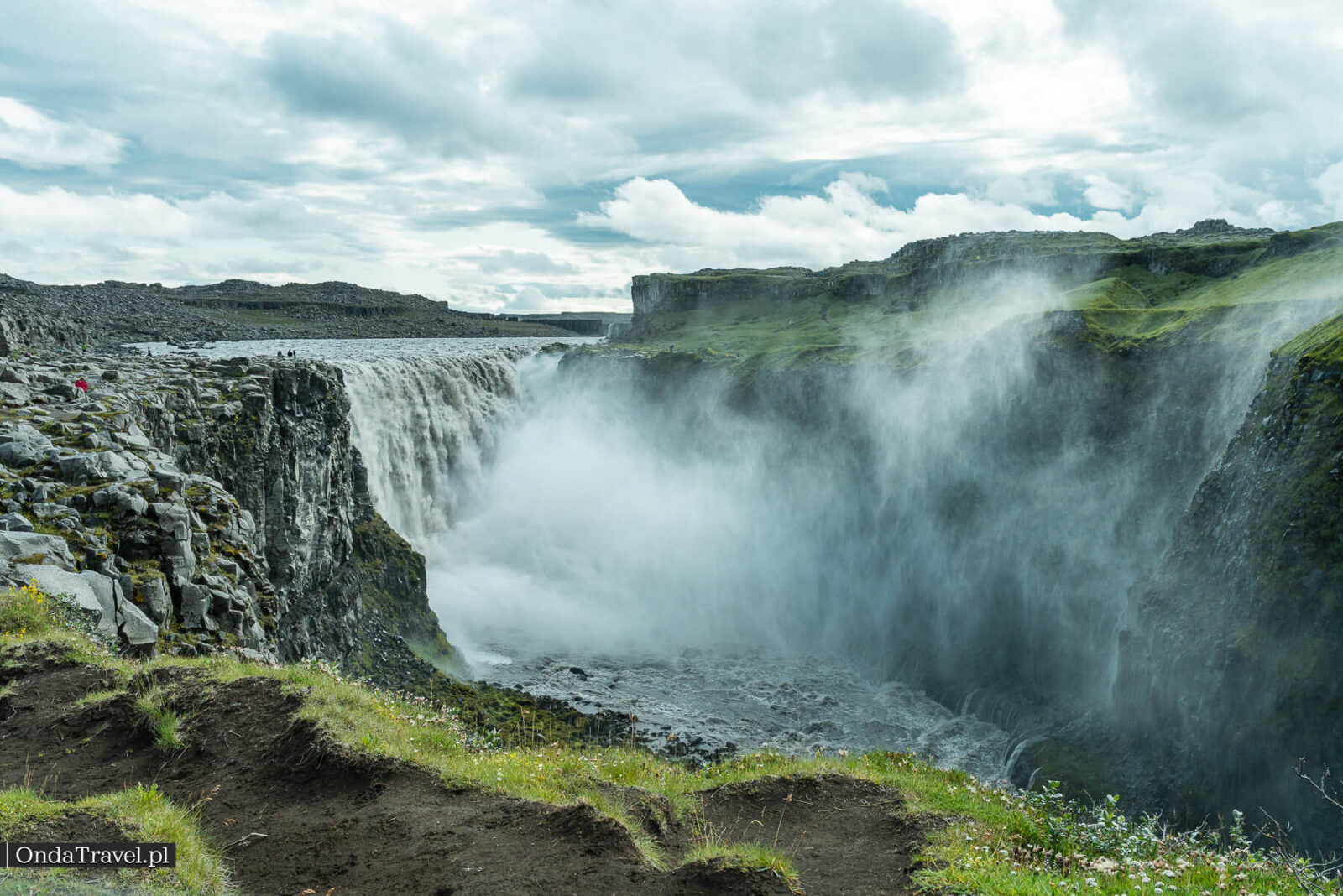
Following the 2025 landslide, surveys found extensive cracks in the ground near the west bank. On 28 May 2026, the park announced the permanent closure of Fosshvamm. It also announced plans to remove infrastructure from the affected area and reroute paths.
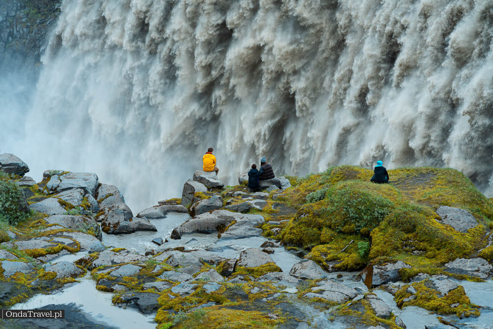
You can still view Dettifoss from the areas that remain open, but some former viewing spots are closed. Archive photographs in this article show the landscape and earlier visits; they do not show today’s permitted routes. Follow the current signs and barriers on site.
The details are in the park’s notice about changes to west-bank access. The restriction applies to a specific area, rather than the entire waterfall.
Getting to Dettifoss: roads 862 and 864
From the northern stretch of the Ring Road, or Route 1, you can turn onto either 862 or 864. Both lead to Dettifoss, but to opposite banks. Simply entering “Dettifoss” in your navigation app is not enough if you want a particular view.
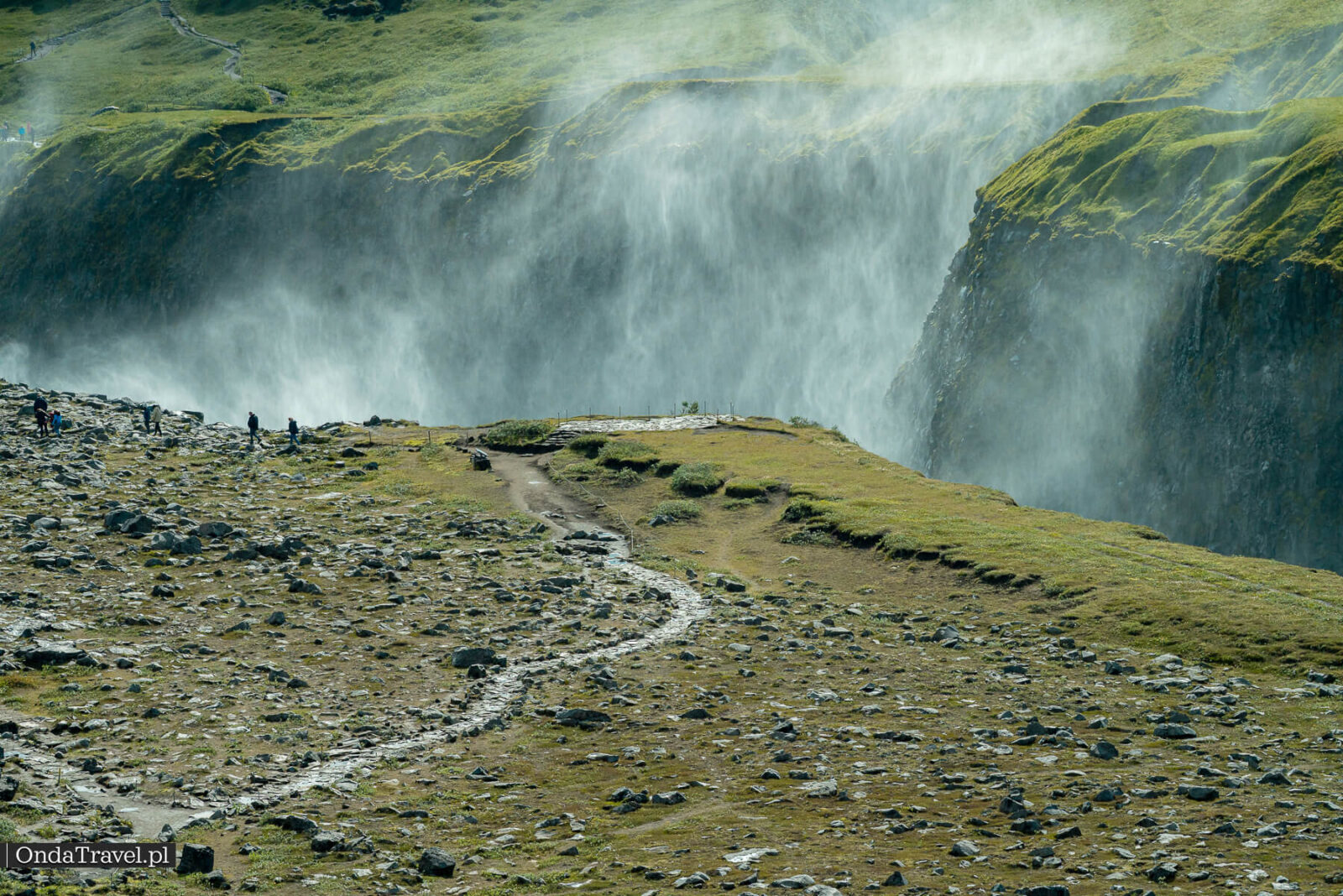
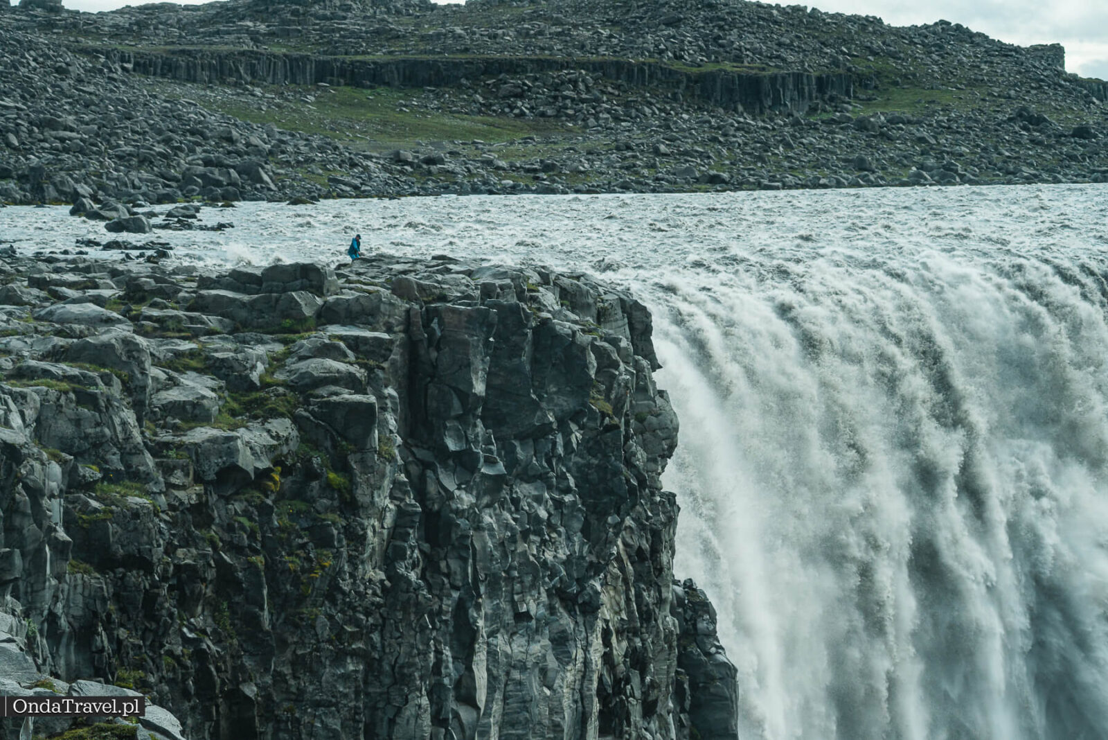
Road 862 to the west bank: leave Route 1 and follow paved road 862 towards the west car park. Its approximate coordinates are 65.811369, -16.400368. Marked paths lead from here to Dettifoss and Selfoss; current routes may differ from those shown on older maps.
Road 864 to the east bank: turn off the Ring Road onto Hólsfjallavegur on the east side of the river. Dettifoss East car park is at approximately 65.81905, -16.37910. You can also reach 864 from the north, via road 85. After visiting the falls, consider continuing north to the signed turn for Hafragilsfoss, provided the access road to the viewpoint is also open.
The map below marks the two Dettifoss car parks and the viewpoint at Hafragilsfoss. These are three separate navigation destinations. Use the map to choose your bank, then check current road conditions on Umferdin.
Choose your side of the waterfall
The map marks three separate places. I recommend the east via road 864 for its panorama of the falls and canyon; the west via road 862 offers the easier drive.
The map and external resources load only after you click. The navigation links below work without the map.
- Dettifoss — east car parkHólsfjallavegur · road 864 (gravel) · the author’s recommended view Get directions
- Dettifoss — west car parkRoad 862 (paved) · marked trails D1 and D2 Get directions
- Hafragilsfoss viewpointPanorama of Jökulsárgljúfur valley · access depends on road conditions Get directions
This map is for orientation and does not confirm that roads are passable. There is no crossing between the banks at Dettifoss. Road 864 may close seasonally; check current road conditions on Umferdin and the park’s notices before setting off. Respect signed closures.
Map data © OpenStreetMap contributors. Car park coordinates are approximate; local signs and information from the site manager take priority.
Directions to your chosen destination: Dettifoss East — road 864 · Dettifoss West — road 862 · Hafragilsfoss viewpoint. Coordinates are approximate; official signs on site take priority.
Outside summer, allow extra time for snow, ice and strong winds. If one approach is closed, use the accessible bank or change the day of your visit. Do not assume that a paved surface means a road stays open throughout winter.
There are car parks and toilets at Dettifoss. Check the signs at your chosen car park for current charges and parking rules. Overnight stays at the waterfall are prohibited.
D1: the walk from the west car park
D1 starts at the west car park. The park gives an approximate walking time of 30–60 minutes. Its distance figures are inconsistent: the table says 1.5 km return, while the text says 1 km each way. With paths being rerouted, follow current signs rather than planning the walk to the metre.
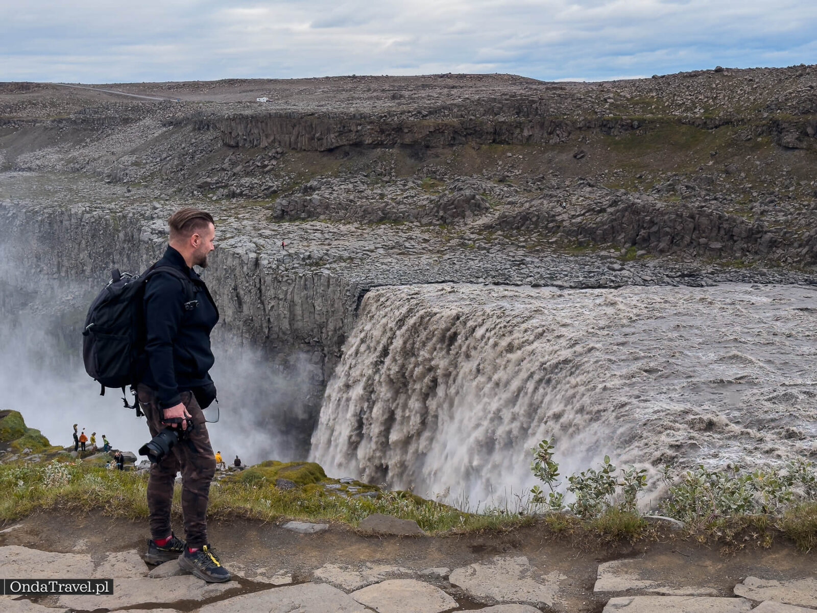
Near the falls, spray settles on rocks and paths. In freezing weather, ice adds to the challenge. Shoes with a good grip and protection from the spray are more useful than rushing to the nearest edge.
Selfoss and the D2 loop
From the west car park, you can combine Dettifoss and Selfoss on the D2 trail. The park describes a loop of about 2.5 km, taking roughly an hour. Before starting, check that the whole current route is open.
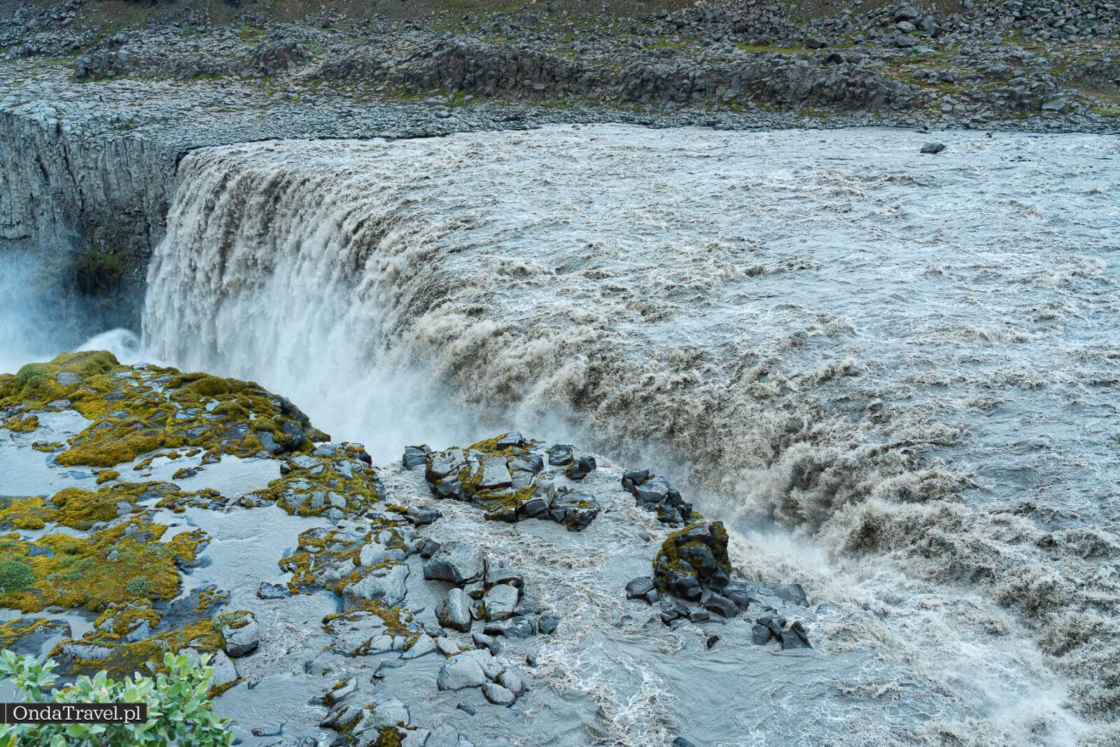
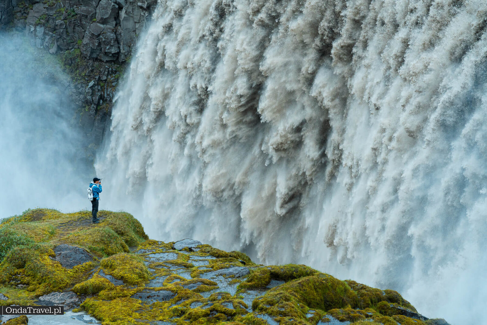
Selfoss lies upstream of Dettifoss and is about 10 m high, according to the park. Instead of one huge wall of water, you will see a long line of cascades. It makes a good second stop on the walk. In your navigation app, choose the waterfall near Dettifoss: the town of Selfoss is in southern Iceland.
Hafragilsfoss, Jökulsárgljúfur and Ásbyrgi
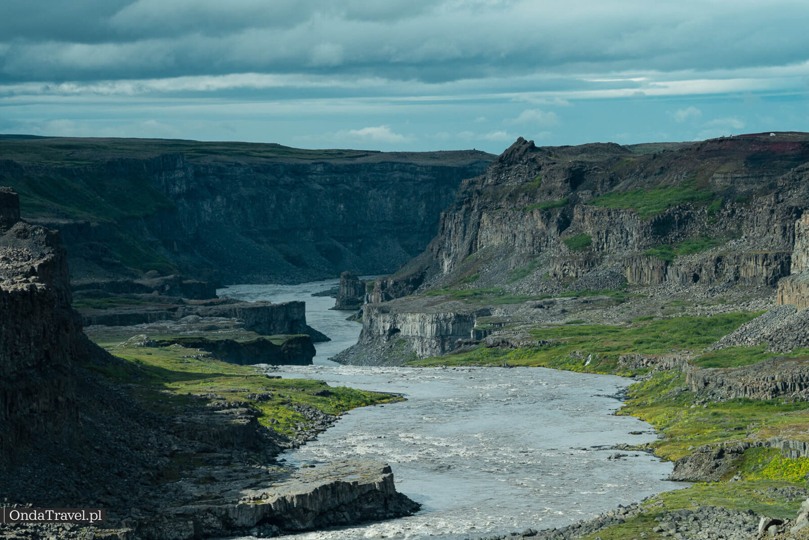
Hafragilsfoss lies farther downstream on Jökulsá á Fjöllum. The park gives its height as about 27 m. The canyon walls around it reveal a much broader landscape than the close views at Dettifoss.
On the east side, return to 864 and head north to the signed turn for Hafragilsfoss. The view of this stretch of Jökulsárgljúfur is my second reason for recommending Hólsfjallavegur. Check the final access road as well: an open 864 does not mean that every side road is open.
The viewpoint and the trail along the valley floor are different outings. The D3 route in the Hafragil area is about 9 km long and rated difficult by the park, with steep sections and a risk of falling rocks. Do not mistake it for a short walk from the car park.
Farther north, Ásbyrgi offers a green, horseshoe-shaped canyon. The hiking route between it and Dettifoss is about 32 km long, and the park recommends allowing two days. On a driving trip, plan Ásbyrgi as a separate stop.
Basalt and a glacial river
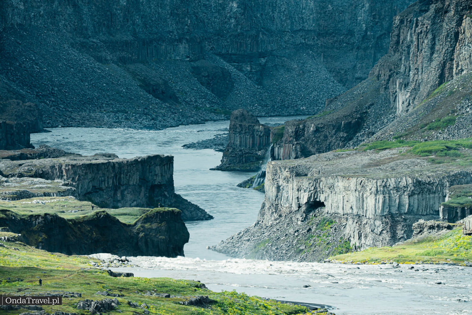
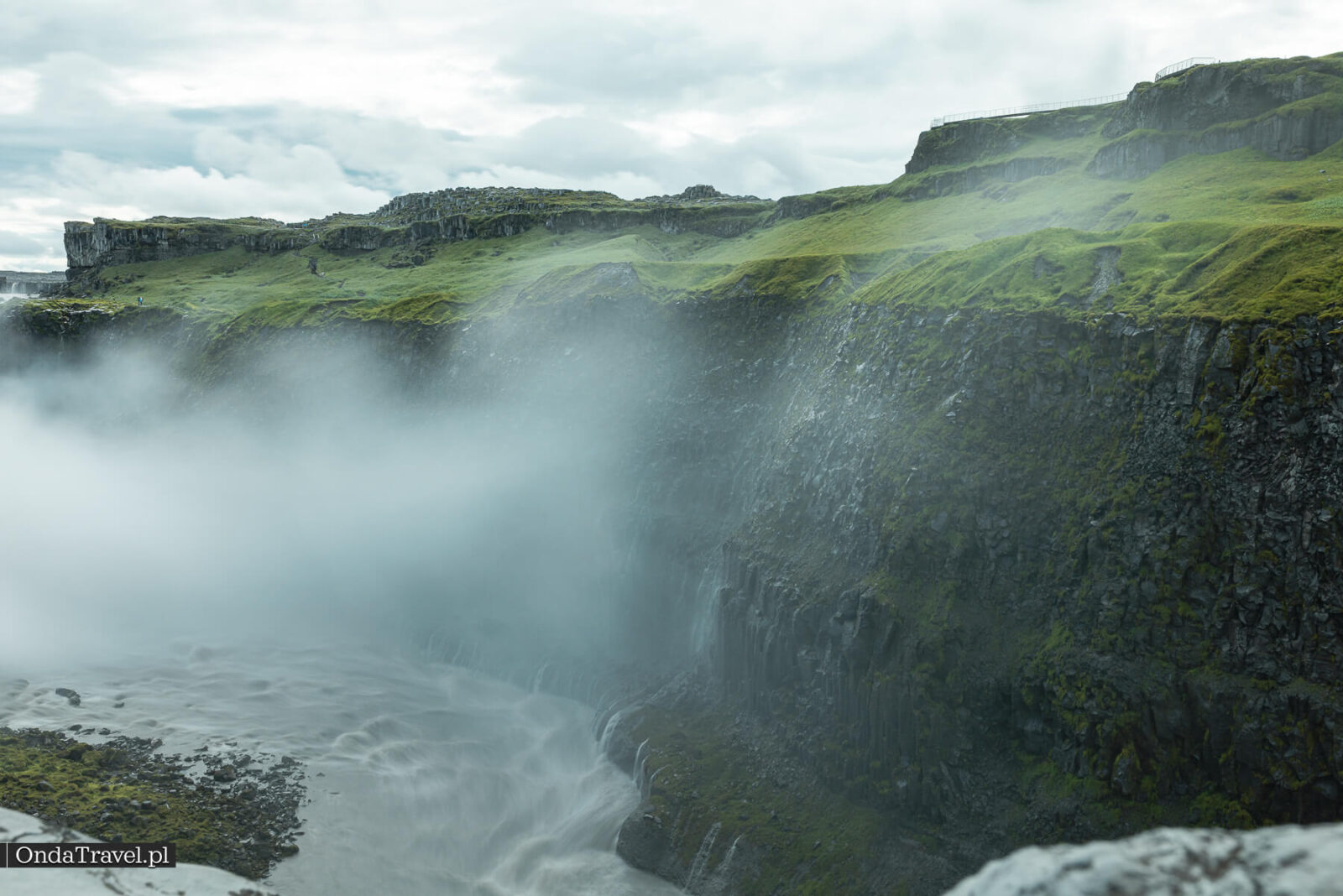
The walls of Jökulsárgljúfur reveal layers of basalt, rock columns and scree. The river works along cracks, undercuts rock steps and carries away the fragments. The narrow stretch just below Dettifoss shows how much space falling water can carve out of rock.
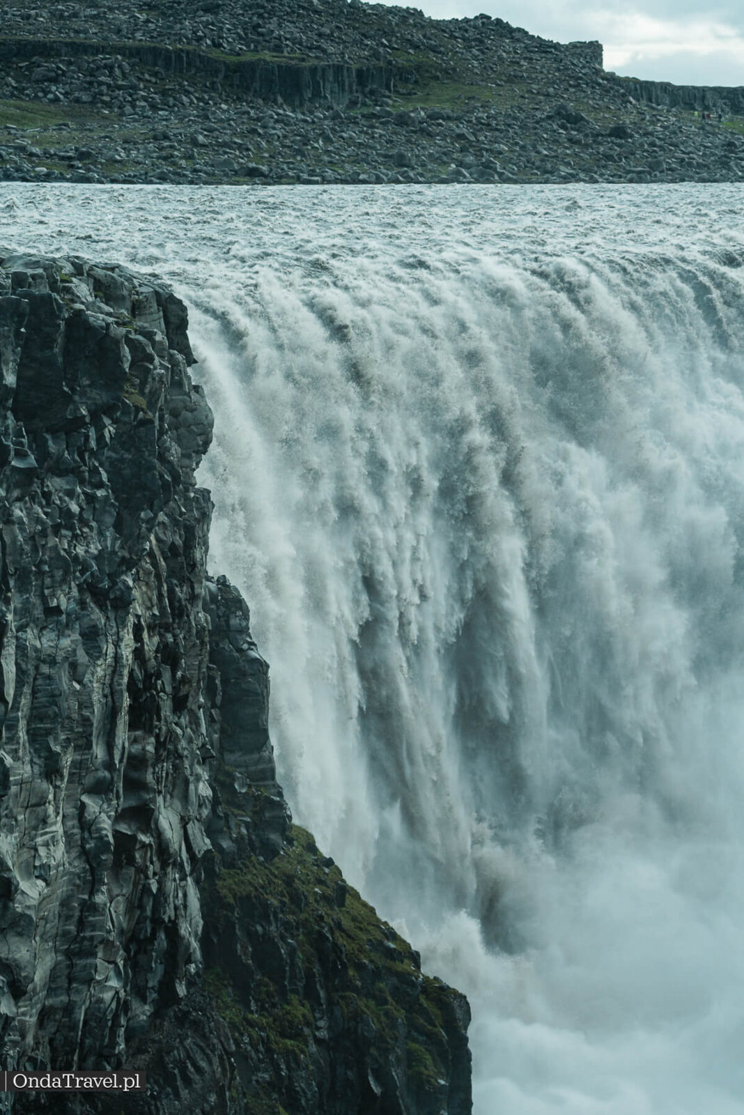
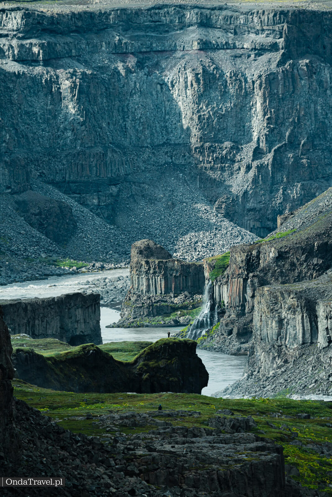
The park links the formation of a particularly narrow, roughly 500-metre stretch of canyon to erosion at Dettifoss. The wider valley has a longer history: enormous glacial floods shaped it alongside the river’s everyday work.
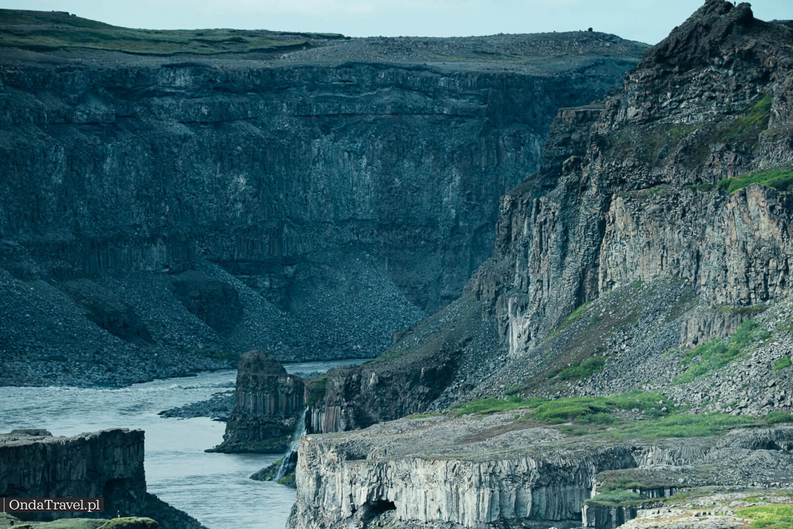
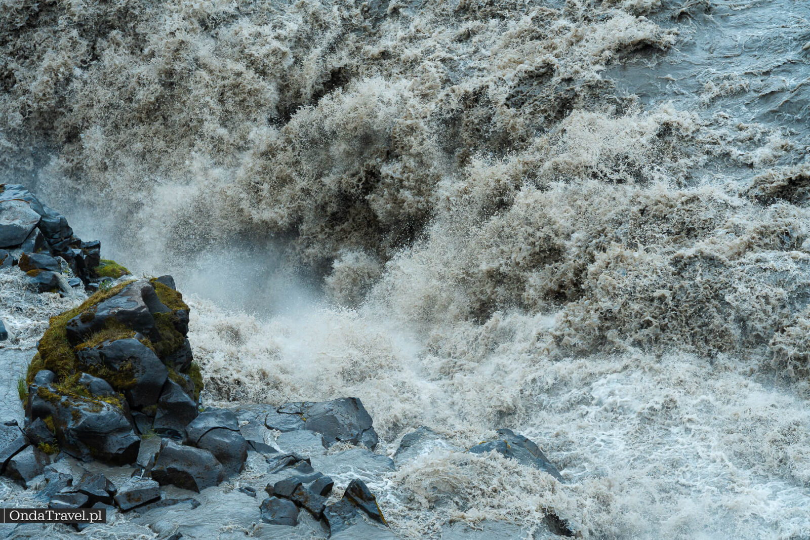
The basalt walls are traces of past eruptions. In my guide to Iceland’s volcanoes, I explain how these landscapes form and where to see other volcanic features.
ICELAND’S GEOLOGY
Iceland’s volcanoes: landscapes and systems
From lava fields and calderas to geothermal activity. Understand the processes behind Iceland’s landscape.
The floods that carved the canyon
Much of the canyon formed in bursts during exceptionally powerful floods. Researchers described this process in PNAS in 2015, combining field measurements with dating of exposed rocks. These were jökulhlaups, or sudden glacial outburst floods.
The findings point to major episodes of erosion around 9,000, 5,000 and 2,000 years ago. At these immense flows, water could tear out and transport entire basalt columns, rapidly shifting the river’s rock steps.
This explains why it is unwise to assume a constant rate of waterfall retreat. A comparison of aerial photographs from 1955 and 1998 showed that the falls were relatively stable, with local changes of a few metres. An ancient major flood and today’s river flow operate on very different scales.
You will find the measurements, maps and comparative photographs in the paper by Baynes and colleagues. A study available through the USGS also examines the river’s great floods.
Dettifoss in “Prometheus”
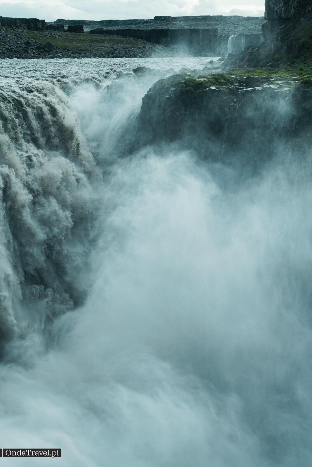
Dettifoss appears in the prologue of Ridley Scott’s 2012 film “Prometheus”, in the scene with the Engineer and the film’s vision of the beginning of life. The Icelandic film commission, Film in Iceland, lists the waterfall and the area around Hekla among the production’s locations.
See also the official page for Prometheus.
For a wider comparison, the Prometheus and Alien: Covenant filming-locations guide separates Icelandic landscapes in Prometheus from the New Zealand and Australian locations of Alien: Covenant. It also explains which parts of the films were made on practical sets or completed with visual effects.
Above the waterfall, a disc-shaped spacecraft is flying away. The Engineer remains on the rocky bank. The real falls form part of a scene that combines location filming with staging and visual effects.
From the east bank, which I recommend, you can compare the panorama with the film stills. View the landscape from the areas open to visitors. Older shots do not show today’s permitted approaches to the falls.
Filming at Dettifoss was arranged for July 2011. Iceland Review’s report at the time announced access restrictions for 21–22 July and said visitors would be directed to the west bank. This concerns a film shoot years ago, rather than the current closure at Fosshvamm.
If you enjoy comparing scenes on screen with real places, visit OndaTravel’s film tourism guides. I have gathered location guides there, with directions and practical details for visiting.

FILM LOCATIONS
Film tourism: from screen to itinerary
Icelandic locations and other places from films and TV series. Choose a location and read the practical guide.
When to visit and how to photograph Dettifoss
Summer is the easier season to plan a visit: the days are long and gravel road 864 is more likely to be open. The spring thaw can disrupt access, as can the first autumn snow. There is no single date from which passage is guaranteed.
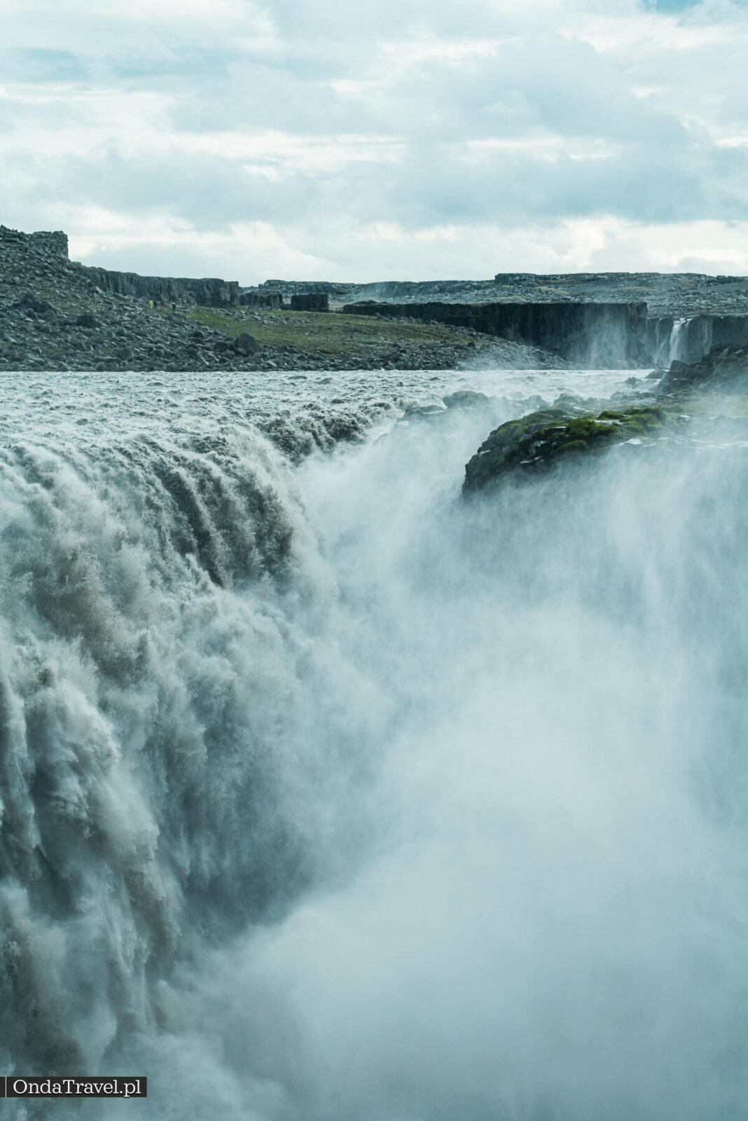
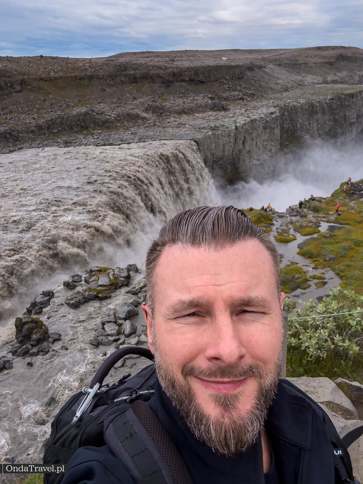
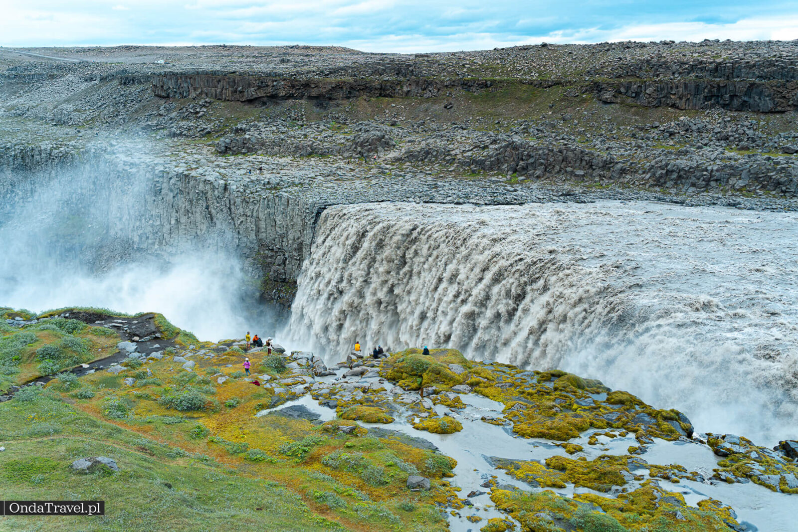
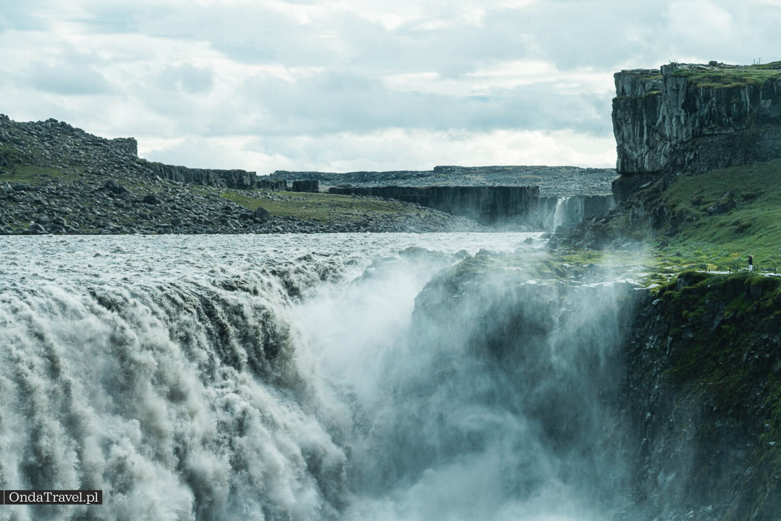
Watch the wind when taking photographs. Spray can quickly cover your lens in droplets, so bring a protective cover and a lens cloth. A wide shot captures the scale of the canyon; a close-up shows the texture of the falling water. A longer exposure smooths the flow, as one of the photographs below illustrates.
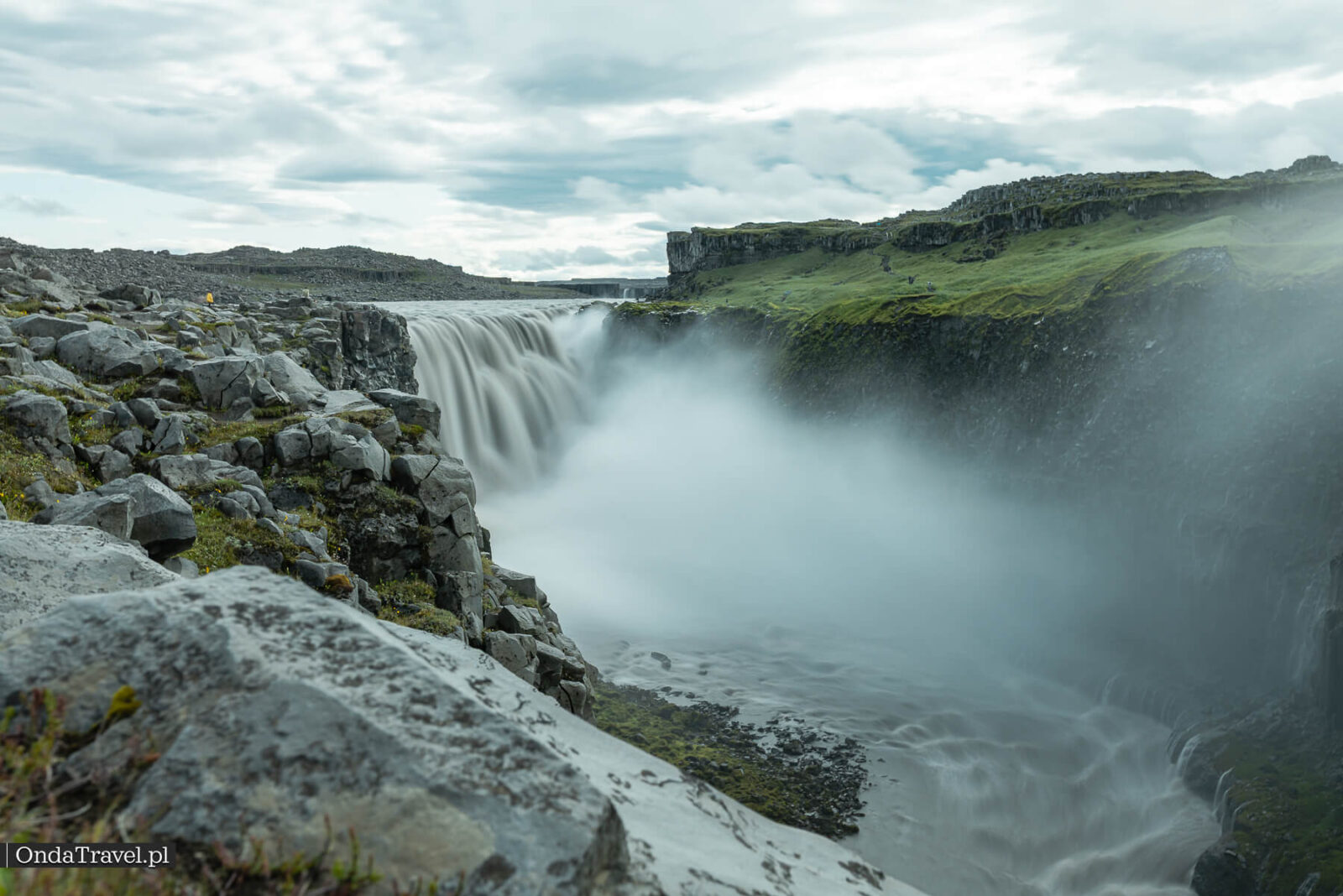
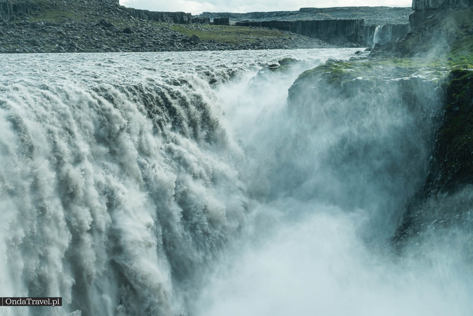
Within the park, recreational drone flights are allowed in a designated zone above the canyon on the west side of Dettifoss, subject to the park’s seasonal conditions. They are prohibited in the rest of Jökulsárgljúfur covered by these rules. Commercial filming requires a separate permit. Before flying, check the park’s current rules.
Fitting Dettifoss into an Iceland itinerary
Dettifoss fits best into the northern Iceland stage of a trip. Depending on your time and which roads are open, you can combine it with Selfoss, the panorama at Hafragilsfoss or a separate visit to Ásbyrgi. There is no need to drive to both banks in one day.
Around Mývatn, the landscape changes from canyons to geothermal fields. The Hverir guide covers fumaroles, hot mud and visiting the area. Give it its own place in your itinerary, with time for driving and walking.
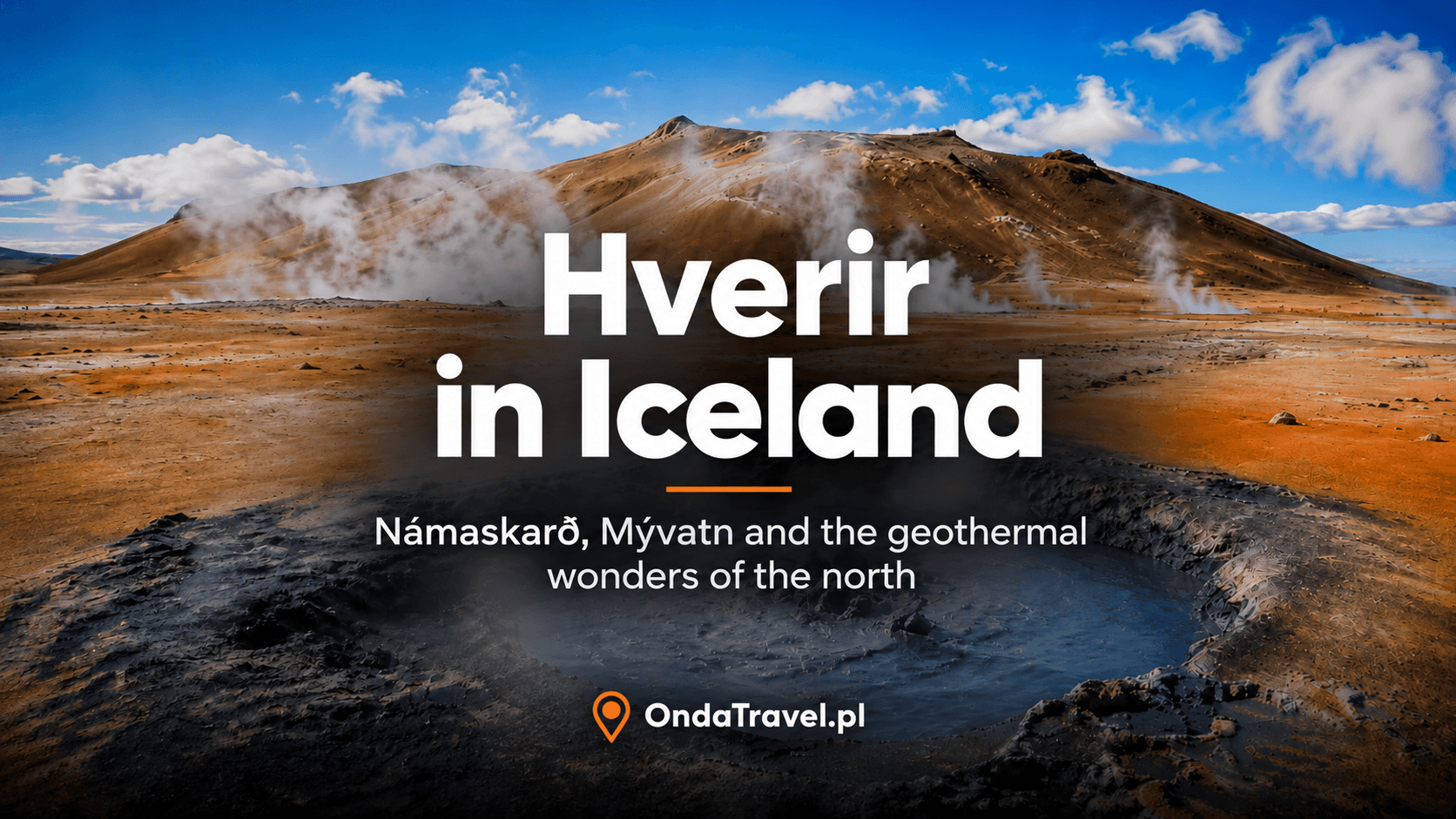
AROUND MÝVATN
Hverir and the Mývatn area
Directions, parking, fumaroles and how to explore the geothermal field. A guide to a different northern Iceland landscape.
For a shorter trip, compare my 4-day and 7-day itineraries. Both focus on the south and west of the island. Dettifoss is not a stop on either route; adding the north means allowing another stage or changing the itinerary.

What to check before setting off
On the day of your visit, check three things: your chosen road on Umferdin, the weather forecast and warnings, and Vatnajökull National Park’s notices. Route maps and estimated driving times do not account for every change on the ground.
On arrival, check the car park information board, path signs and any closed sections. This is especially relevant on the west bank after the changes at Fosshvamm. Retrace your steps if conditions farther along the trail are deteriorating.
Bring a layer that keeps out wind and water, and footwear suited to wet rocks. Allow unhurried time for photographs and the return walk. The waterfall car park is not a place to stay overnight.
Read next: waterfalls and other places in Iceland
For the next leg of your trip, choose waterfalls elsewhere in Iceland, geothermal scenery at Hverir or places known from films. Each guide below covers a separate destination.
- Hverir and the Mývatn area
- Iceland’s waterfalls: map and route planning
- Iceland’s volcanoes: landscapes and systems
- Film tourism: from screen to itinerary
For the following days, you could choose waterfalls elsewhere on the island. The places below are not part of a single outing from Dettifoss; they require travel to another region.
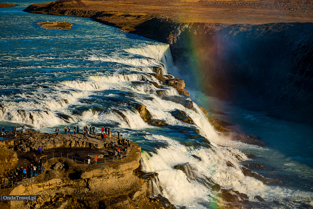
Skógafoss and Kvernufoss are in the south, Gullfoss is on the Golden Circle, and Háifoss and Granni are in Þjórsárdalur valley. Glymur involves a hike, while Gljúfrabúi and Nauthúsafoss take you into rocky gorges. Compare them in the Iceland waterfalls guide and choose the places that fit your onward route.




Questions before visiting Dettifoss
Can you still visit Dettifoss?
You can view the waterfall from the areas open to visitors. Fosshvamm on the west bank is permanently closed, while access to roads and other paths depends on conditions. Before setting off, check the park’s notices and Umferdin.
Which side should I choose: 862 or 864?
I recommend the east bank and gravel road 864 for the view of the falls and canyon, provided the road is open. Paved road 862 leads to the west and offers an easier drive. Its winter maintenance is also limited.
Can you walk from one bank to the other?
There is no bridge or direct river crossing at Dettifoss. Each side requires a separate drive. Choose the car park on the correct bank in your navigation app.
How long is the walk to Dettifoss?
For D1 from the west car park, the park gives an approximate time of 30–60 minutes. The published distances are inconsistent, and paths have been rerouted after the landslide. Follow current signs and allow extra time for wet or icy sections.
Can you combine Dettifoss and Selfoss?
Yes. When the D2 route is open, you can see both waterfalls on a loop from the west car park. The park gives a distance of about 2.5 km and a walking time of one hour. Selfoss is upstream on the same river.
Is there a parking charge at Dettifoss?
Check current charges and parking rules at your chosen car park. The eastern and western approaches lead to different car parks, so make sure the information applies to the bank you are visiting.
Does Dettifoss appear in “Prometheus”?
Yes. The waterfall appears in the prologue of Ridley Scott’s 2012 film, in the scene with the Engineer and the departing spacecraft. The Iceland scenes were filmed in 2011.
Can you fly a drone at Dettifoss?
The designated zone above the canyon on the west side is subject to the park’s seasonal conditions. From November through the end of February there are no time-of-day restrictions, but the other rules still apply. Before flying, check the exact boundaries and current rules.
Sources
Sources and practical information
- Vatnajökull National Park — Dettifoss, geology, roads and trails
- Vatnajökull National Park — Fosshvamm closure decision, 28 May 2026
- Vatnajökull National Park — original 2025 landslide notice
- Umferdin — official current road information
- Iceland Review — access closure for “Prometheus” filming, 17 July 2011
- Iceland Naturally — the film’s 2012 opening and confirmation of Dettifoss
- PNAS 2015 study of erosion in Jökulsárgljúfur
- USGS — the flood history of Jökulsá á Fjöllum
- Vatnajökull National Park — drone rules and restrictions
- Iceland: Issues and Images
- Visit Iceland — Dettifoss as a location for the “Prometheus” prologue
- USRA / Earth Science Picture of the Day — account of west-bank rocks used during filming
- Vatnajökull National Park — the formation of Jökulsárgljúfur and its waterfalls
- Visit North Iceland — access via roads 862 and 864
- OpenStreetMap/Mapcarta — location of the Dettifoss east car park
Author
Krystian „dziadzia przewodnik”The North is my greatest passion, but the world is too beautiful to stay in one climate. On my blog I combine the raw nature of Iceland and Norway with the exotic energy of Thailand and Vietnam, showing you how to travel authentically, with passion and a camera in hand.