Icelandic Volcanic Systems: How to Read Them and Their Maps
An Icelandic volcanic system is a group of geological structures linked to a shared magma source, not simply one cone on a visitor map. It can include a central volcano and a fissure swarm, although not every system shows both clearly. A system boundary describes geology; it does not decide today’s access or safety.
| Term | What it describes | What it does not decide |
|---|---|---|
| volcanic system | geologically connected structures | today’s access |
| central volcano | a feature found in some systems | a mandatory centre in every system |
| fissure swarm | a belt of related fractures | a route or trail |
Volcanic systems make Iceland easier to read as a landscape of connected structures rather than a list of isolated mountains. This is a geology guide: check official current sources separately for an eruption, gas, roads or access.

Check out my YouTube channel and travel with me.
Follow the channel for videos, routes and practical travel inspiration.
Follow me here:
What’s up?
Enjoying my content?
Buy me a coffee at buycoffee.to/ondatravel and support the creation of more travel content.
Your support helps me create more practical guides, videos and travel inspiration.

What is an Icelandic volcanic system?
The Icelandic Institute of Natural History describes volcanic systems as structures associated with a shared magma source. Features that look far apart in a landscape can therefore belong to the same geological arrangement. The model connects fissures, eruptions and subsurface structure without pretending that all activity comes from one crater.
This is not a park border, closure boundary or visitor zone. A systems map cannot tell you where it is possible to walk, drive or park today. For a same-day decision, use the Icelandic Met Office, SafeTravel and Umferdin.
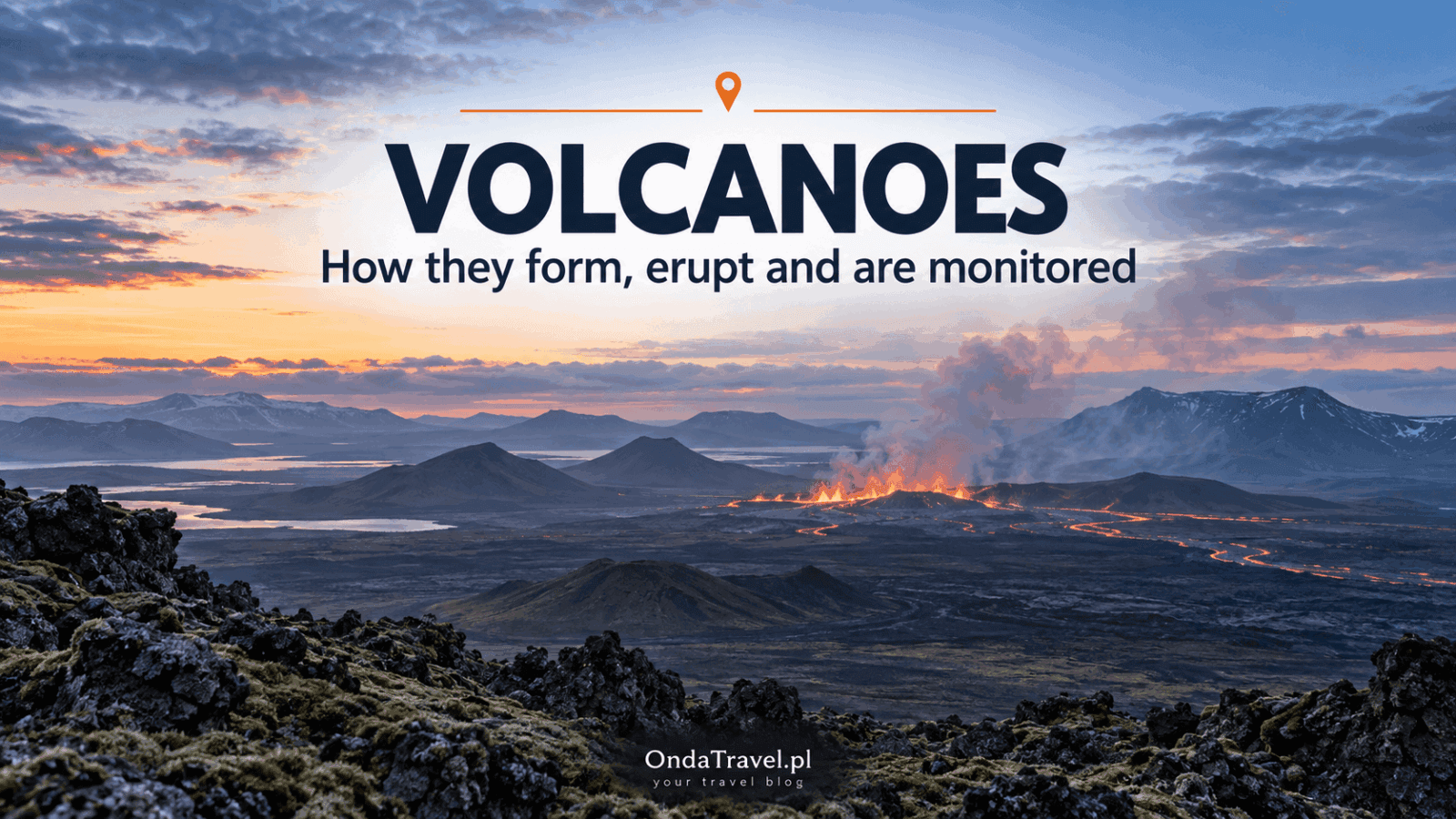
VOLCANOES
How do volcanoes work?
A global guide to magma, eruptions and basic volcano types.
Central volcanoes and fissure swarms are not one fixed template
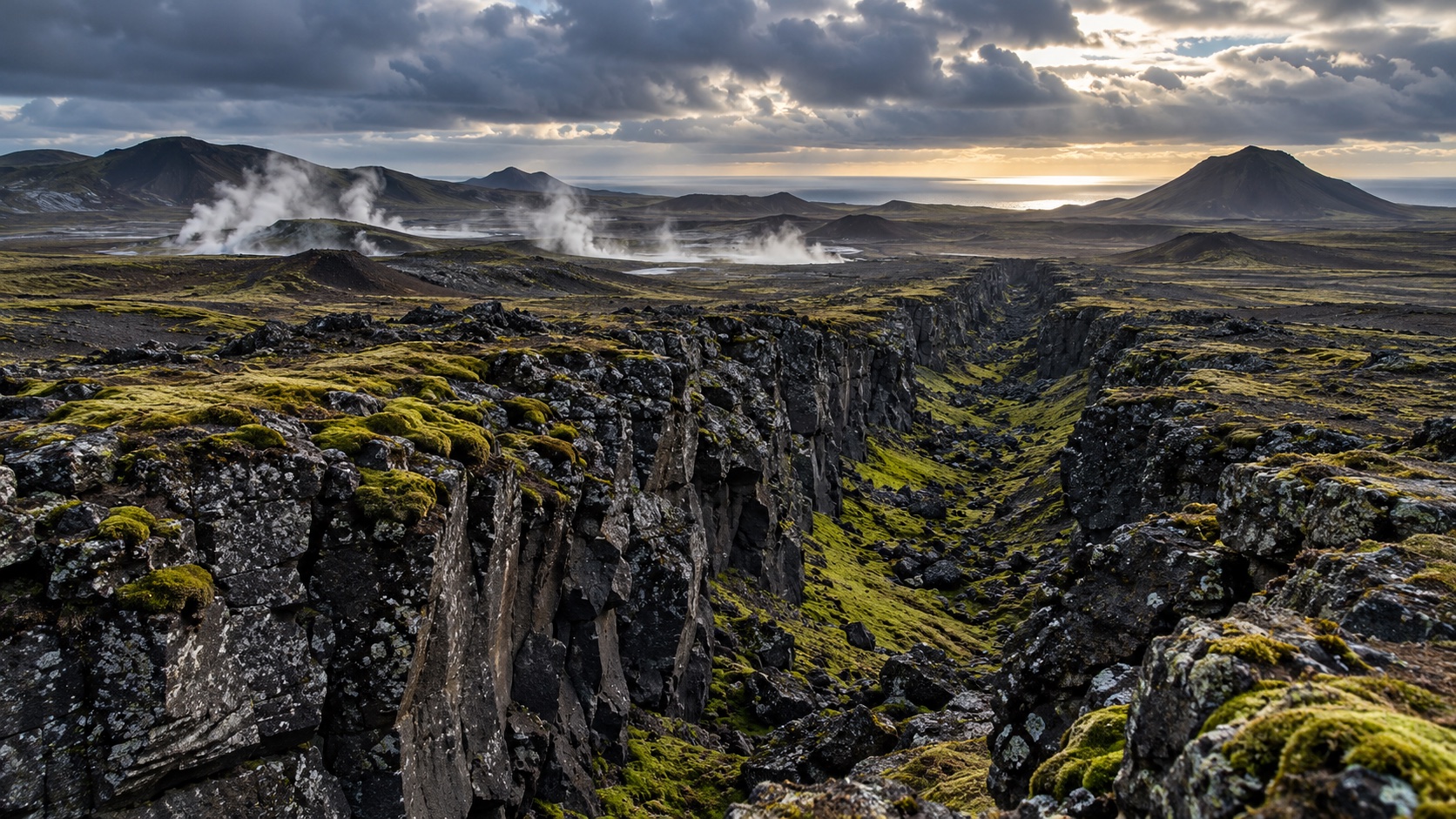
A central volcano can concentrate some structures in a system; a fissure swarm is a belt of related fractures through which activity can occur. The distinction explains why an Icelandic landscape does not always resemble a single, tall textbook volcano.
It is not a compulsory pattern. Institutional sources list Reykjanes and Svartsengi among systems without a clear central volcano. That variation is geological evidence, not a missing detail to be replaced with a simplified cone. For the worldwide mechanism of magma and eruptions, see What are volcanoes and how do they work?.
Why do catalogues report different numbers?
Different counts are not necessarily contradictions, because catalogues count different units. The Catalogue of Icelandic Volcanoes lists 33 active systems. The Icelandic Institute of Natural History describes about 41 systems when submarine systems are included. Smithsonian’s Global Volcanism Program lists 35 Holocene volcanoes for Iceland.
Read the unit, time range, method and update date with the number. An active system, a Holocene volcano and an item in a global catalogue do not share one denominator. Combining them into one total creates a misleading comparison.
Reykjanes and Svartsengi: distinct systems in one regional context
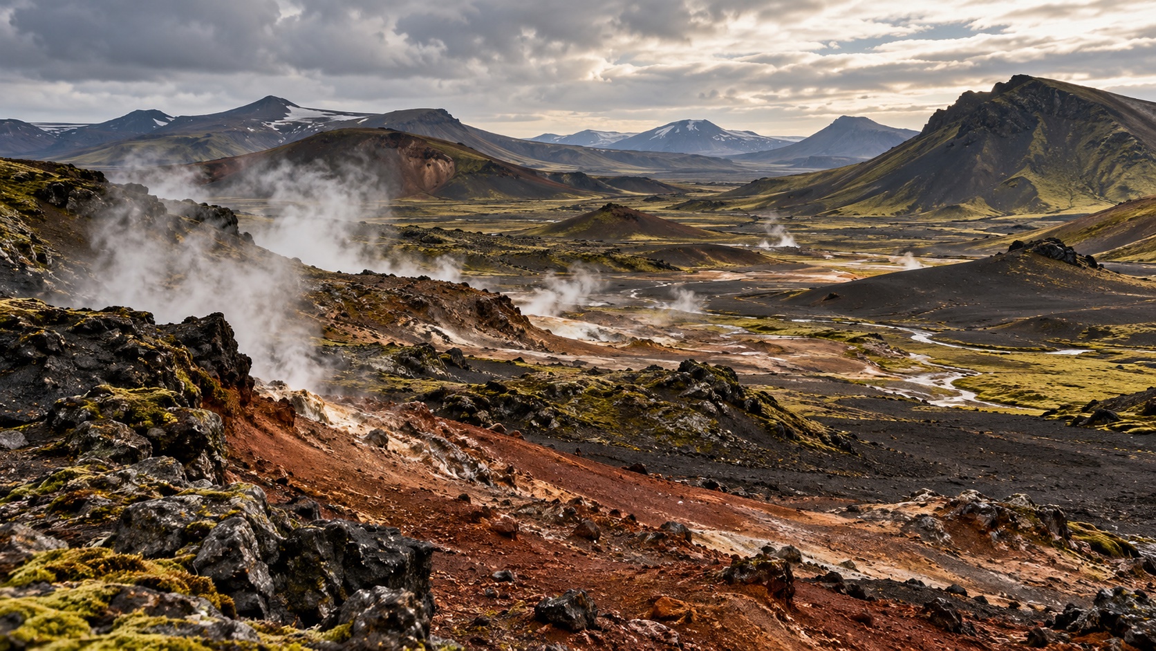
Reykjanes and Svartsengi are distinct volcanic systems even though travellers encounter both names in the same peninsula context. Keeping that distinction makes scientific notices easier to interpret.
Geothermal energy in the region is not evidence that an eruption is imminent. Infrastructure and geothermal resources answer a different question from a hazard notice. Current safety, roads and access always require a same-day read of the official sources named above.
How should you read a systems map responsibly?
A useful map states its author, method, date and whether it represents systems, individual volcanoes, lava fields or another selection of features. A scientific boundary is not automatically an administrative boundary or a travel route.
Likewise, an earthquake map is not an eruption forecast on its own. Seismicity and deformation are interpreted with other measurements. To understand a collapse structure, read the separate guide to calderas and craters. For travel context, use the Iceland volcanoes hub.

VOLCANOES
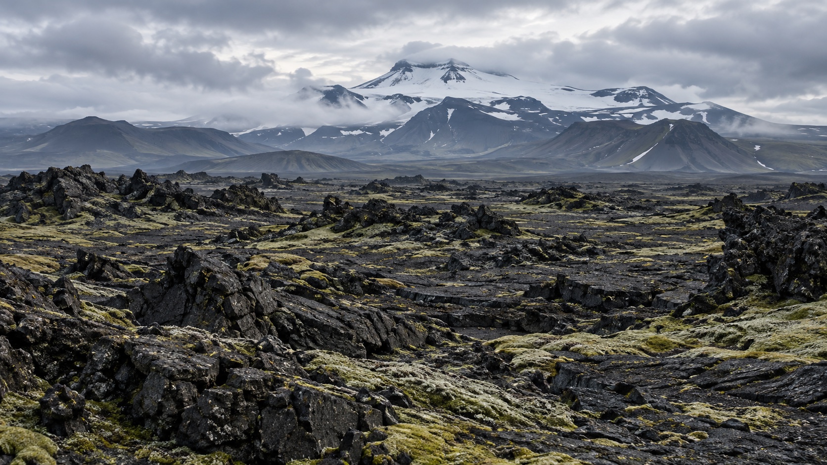
Caldera and crater
A separate explanation of collapse structures and craters.
What to read next
Use the next article for the next question: the global mechanics of volcanism, calderas, the landscape of Reykjanes, or geothermal energy. The Iceland volcanoes hub remains the regional starting point for places, trip planning and links to current official notices; this systems guide does not replace it.
ICELAND
Volcanoes in Iceland
Regional guide to places, trip planning and links to current official notices.
Questions and answers
Is a volcanic system one volcano?
Not necessarily. It is a geological arrangement of connected structures that can include a central volcano and a fissure swarm.
Does a systems map show safe places?
No. A geological map cannot replace current notices about access, roads, gas or hazard.
Why are Iceland volcano counts different?
Sources count different units, including volcanic systems, systems with submarine ones included, or Holocene volcanoes.
Are Reykjanes and Svartsengi the same system?
No. They are distinct systems within the same regional peninsula context.
Does geothermal energy mean an eruption is coming?
No. Geothermal resources and energy infrastructure are a different subject; check official notices for current hazards.
Does an earthquake map forecast an eruption?
Not on its own. Seismic data need interpretation alongside other observations.
Sources
Sources
Icelandic Institute of Natural History — Volcanic activity
Catalogue of Icelandic Volcanoes
Author
Krystian „dziadzia przewodnik”The North is my greatest passion, but the world is too beautiful to stay in one climate. On my blog I combine the raw nature of Iceland and Norway with the exotic energy of Thailand and Vietnam, showing you how to travel authentically, with passion and a camera in hand.