

Live Tools: Aurora, Storms, Earthquakes, Starlink & Night Sky
Check conditions before heading out or changing your route
Plan a night under dark skies
Which tool should you choose?
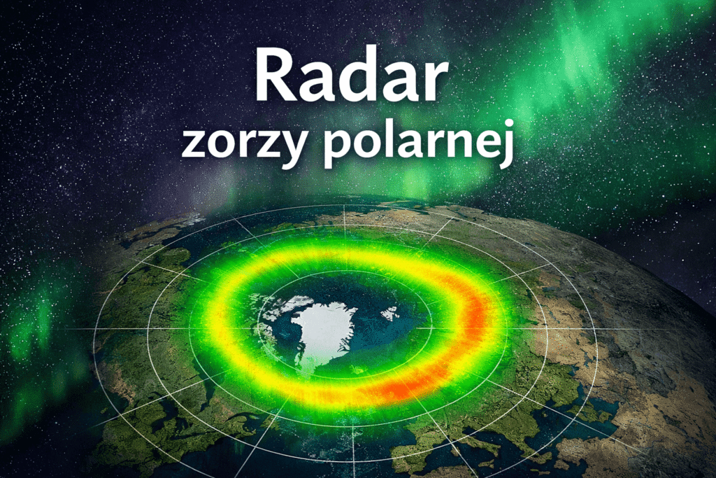
Can you see the Northern Lights in Poland tonight?
Compare geomagnetic activity with cloud cover, darkness and a clear view toward the north.
Check conditionsLive Northern Lights radar
Choose a location and open the data you need to plan a night-time observation.
Open radar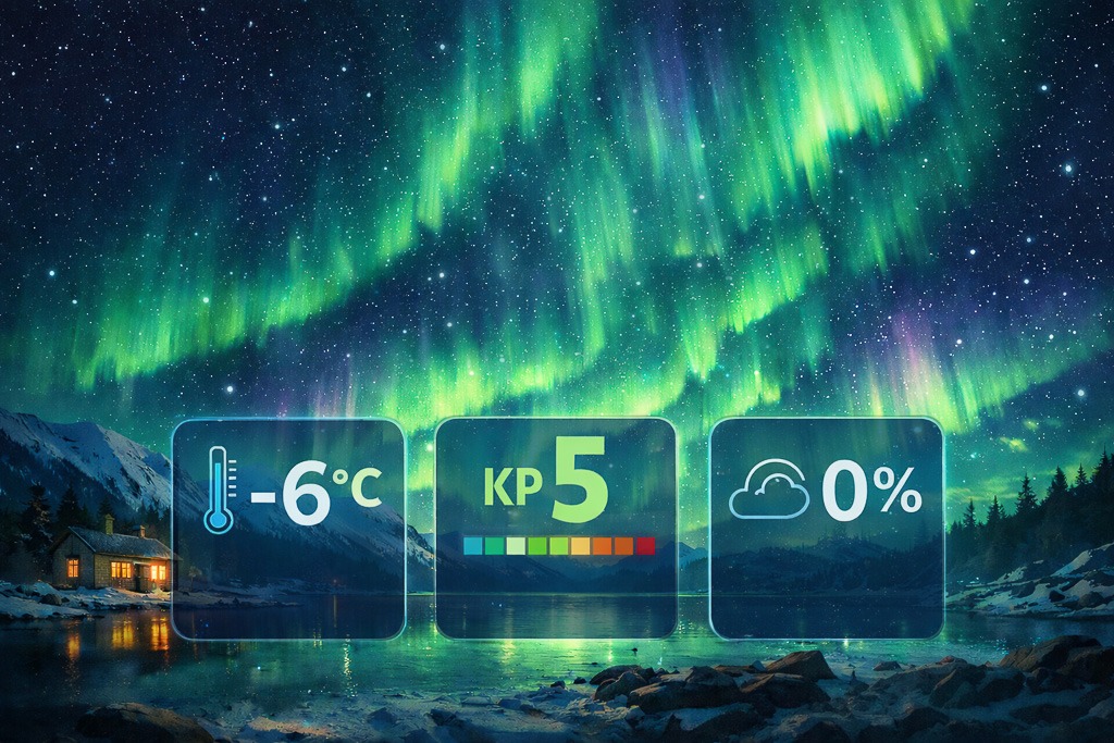
Live Northern Lights forecast
Check the radar, aurora-oval map, Kp, Bz, Bt, solar wind and cloud cover before observing at night.
Check forecast
Where is the storm?
Check lightning, rainfall and storm-cell movement before heading out or changing your route.
Check radar
Live earthquake map
See the time, location, magnitude and depth of the latest events, then check local notices.
Open map

astronomical events: map, symptoms and safety
Check the official GIS map, the status of a specific night-sky calendar and what to do after contact with the water.
Check night-sky calendar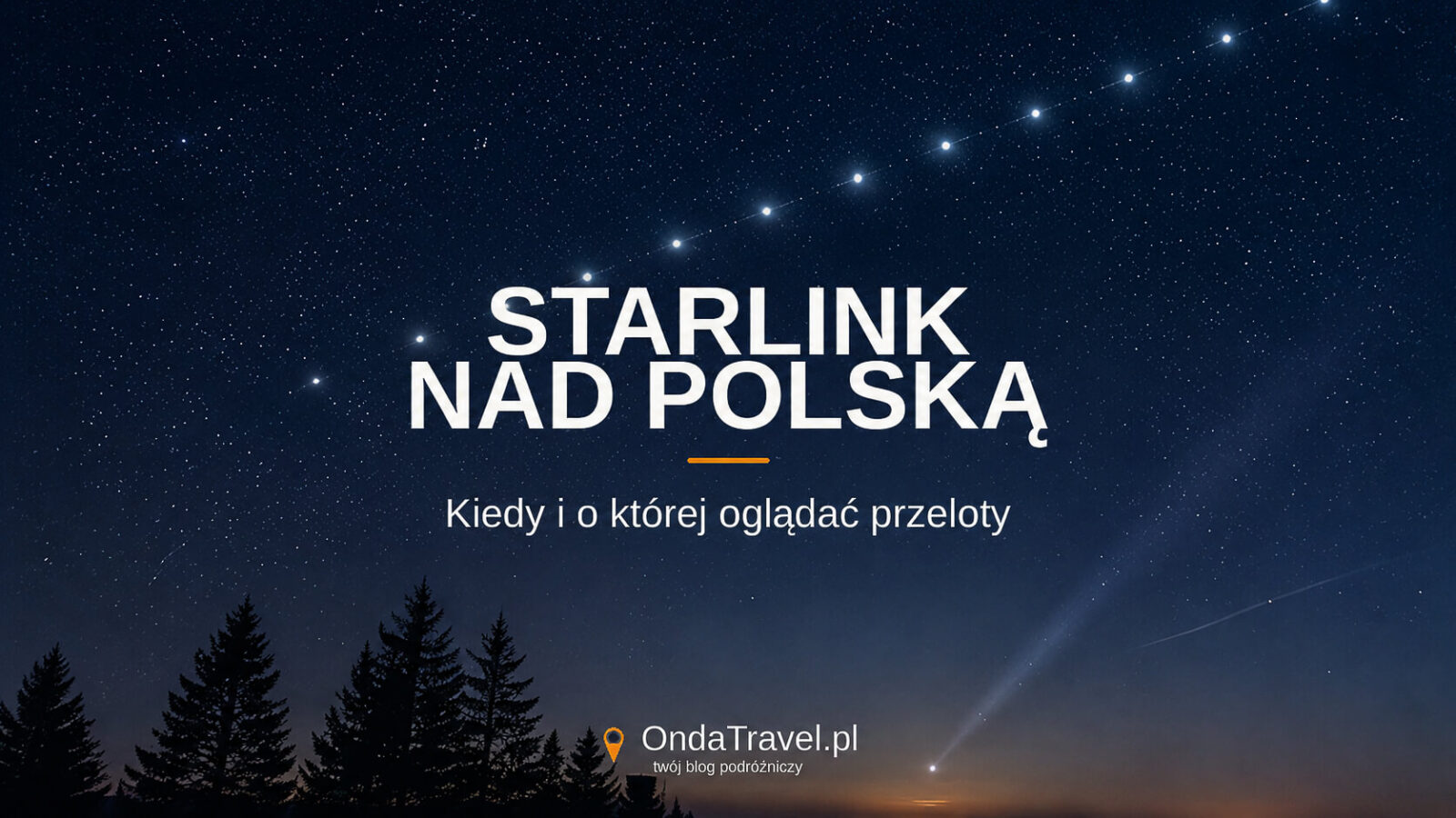
STARLINK
Live satellite tracker
Starlink Tracker: live map and pass times
Check the next visible Starlink pass for your location, direction, maximum elevation and current satellite positions.
Open Starlink trackerHow to read live data without jumping to conclusions?
OndaTravel live tools help answer practical questions before you head outdoors: is there a real chance of aurora tonight, where is the storm moving, has an earthquake occurred near your route, are noctilucent clouds possible, when is the next visible Starlink pass, and what should you watch in the night sky? If you are trying to identify something you already saw, start with the light-in-the-sky identifier before opening a specialist tracker.
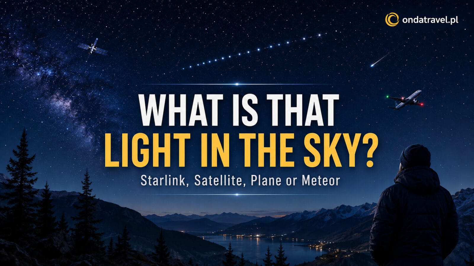
QUICK IDENTIFIER
What is that light in the sky?
Identify Starlink, satellites, aircraft, meteors and other common moving lights before opening a specialist tracker.

Astronomical events calendar 2026
Check meteors, eclipses, Moon phases, NLC, conjunctions and the best observing nights.
Open calendar
Meteor showers 2026
Compare peak dates, Moon conditions, shower activity and the best observing hours.
Check showers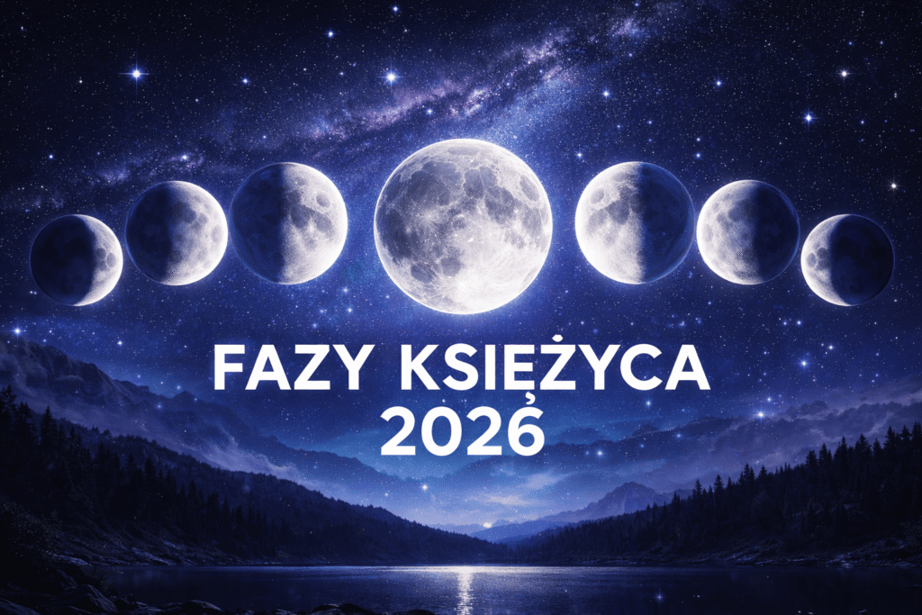
Moon phases today and in 2026
Choose a night for meteors, the Milky Way, Moon photography or other sky phenomena.
Check phase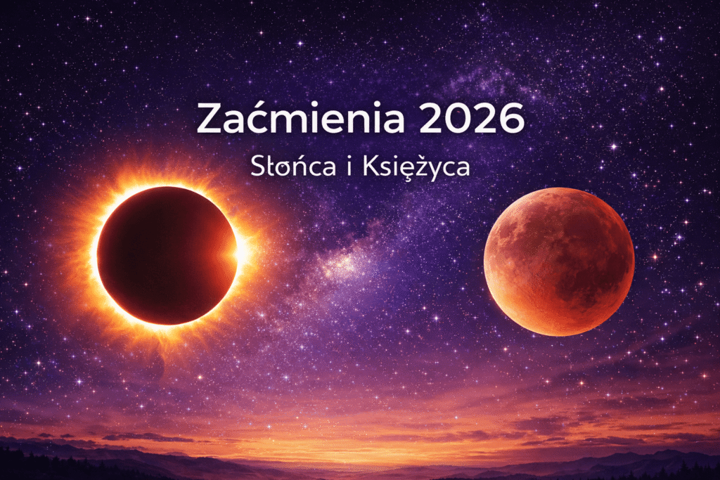
Solar and lunar eclipses
See dates, visibility, event paths and rules for observing the Sun safely.
Check eclipsesNot every tool is a forecast, and none should be the sole basis for a safety decision. The meaning of the data depends on the update time, location, weather and official notices. For each map, we therefore explain how to read the result and what to check next.
For night-sky observations, the date alone is not enough. A meteor-shower peak may occur during a bright full Moon, an eclipse may be visible only from a selected area, and a good aurora forecast will not help under complete cloud cover. First choose the phenomenon, then combine the calendar with the Moon phase and current weather.
| Your question | Starting point |
|---|---|
| Is it worth hunting the aurora tonight? | Aurora radar and cloud cover. |
| Is a storm approaching my route? | Storm radar and official warnings. |
| Has there been an earthquake in the region? | Event map and updates from local services. |
| Could noctilucent clouds appear? | NLC radar, cameras, OSWIN and a view to the north. |
| Is the bathing site open? | GIS map and beach signage. |
| Which night should I choose? | Sky events calendar, Moon phase and weather. |
Contents
- Which tool should you choose?
- How to read live data without jumping to conclusions?
- Start with the question you need answered.
- Can you see the aurora tonight?
- Aurora radar — choose your location
- How to read the live aurora forecast
- When is an aurora alert actually useful?
- Where is the storm, and which way is it moving?
- Live earthquake map
- Could noctilucent clouds appear tonight?
- Starlink overhead — when's the next pass?
- Plan a night under a dark sky
- Quick matrix: which tool for which question
- Why do different tools show different results?
- Using the tools in specific situations
- Connect live data with your travel plan
- Frequently asked questions

Check out my YouTube channel and travel with me.
Follow the channel for videos, routes and practical travel inspiration.
Follow me here:
What’s up?
Enjoying my content?
Buy me a coffee at buycoffee.to/ondatravel and support the creation of more travel content.
Your support helps me create more practical guides, videos and travel inspiration.

Start with the question you need answered.
First check the time of the latest update. Storms, auroras and seismic activity can change quickly, so an older image may not describe conditions when you head out. An empty field does not always mean that nothing is happening.
Then narrow the result to your actual location. Aurora visibility changes dramatically with geomagnetic latitude and cloud cover, a storm cell can miss one town and hit another, and an earthquake in the same country may still be hundreds of kilometres from your route.
Finally, compare live data with official information. For weather and storms, follow the meteorological authority for your location; for stronger earthquakes, check the relevant geological survey and local authorities. OndaTravel tools make the first stage of checking easier, but they do not replace official safety guidance.
For calendars, meteor showers, Moon phases and eclipses, open Sky Phenomena. For a date-by-date overview, use the Astronomical Events Calendar 2026. Core scientific sources include NOAA SWPC, USGS and official national meteorological and geological services.
See also: Total Solar Eclipse on August 2, 2027 — where and when to watch
Can you see the aurora tonight?
Whether you are at home or travelling, the honest aurora answer starts with three things: current geomagnetic activity, cloud cover over your location and how many hours of real darkness you still have. A strong forecast is useless under complete cloud or daylight. Use the Northern Lights Radar for supported destinations, then combine darkness, clear sky and real-time Kp/Bz rather than trusting a single “chance tonight” headline.

GUIDE
Northern Lights Radar: Live Aurora Forecast by Location
Live aurora radar with Kp thresholds by location, cloud cover and a quick guide to choosing where to watch tonight across the Arctic.
Aurora radar — choose your location
The live aurora radar links to dedicated pages for major northern-light destinations including Iceland, Norway, Tromsø, Lofoten, Senja, Svalbard, Abisko and Rovaniemi. The same core parameters — Kp, Bz, solar-wind speed, density and cloud cover — mean different things at different geomagnetic latitudes, so choose the location closest to where you actually are or plan to be.
AURORA RADAR
Northern Lights Radar by location
Choose a destination and compare live aurora conditions, geomagnetic activity and local observing context.
How to read the live aurora forecast
The aurora forecast combines Kp, Bz and solar-wind conditions into a short-range outlook. It is not a guarantee: geomagnetic activity can strengthen or collapse quickly. Treat the forecast as a reason to check the sky, not as a promise of what you will see.
AURORA FORECAST
Aurora forecast tonight
Read Kp, Bz and solar-wind conditions together instead of relying on a single probability number.
When is an aurora alert actually useful?
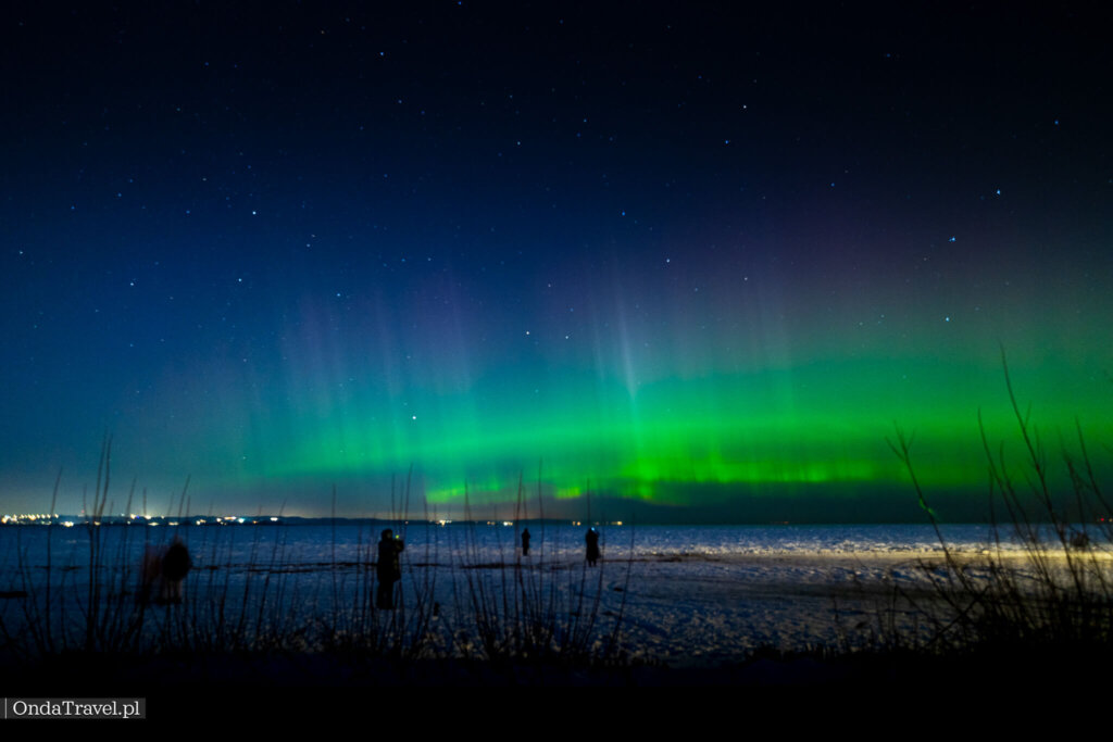
Aurora alerts tell you that conditions have crossed a threshold worth checking; they do not tell you that your sky is clear or that the display will still be active when you step outside. Open Aurora Alerts, then cross-check local cloud cover, darkness and the live radar.
AURORA ALERTS
Aurora alerts
Use alerts as a prompt to check local cloud cover, darkness and the underlying live aurora data.
Where is the storm, and which way is it moving?
The live storm and rain radar shows current precipitation and cell movement. Use it to see where a storm is now and which direction it is moving, then follow official severe-weather and lightning warnings for your location.
LIVE WEATHER
Live storm and rain radar
See where precipitation and storm cells are now and which direction they are moving.
Live earthquake map
The live earthquake map plots recent seismic activity as events are reported. Magnitude, depth and distance all affect how strongly a quake is felt. Use the map for situational awareness and confirm important events with the relevant national geological survey or local authorities.
EARTHQUAKES
Live earthquake map
Explore recently reported earthquakes around the world by location, magnitude and depth.
Could noctilucent clouds appear tonight?
Noctilucent clouds (NLC) form near the edge of space and are usually visible low above the horizon during twilight at mid-to-high latitudes. The NLC radar and noctilucent-cloud monitor helps you check current conditions and visibility reports before you go outside.
NOCTILUCENT CLOUDS
NLC radar and live visibility monitor
Check current noctilucent-cloud conditions and reports before heading out during twilight.
Starlink overhead — when's the next pass?
The Starlink tracker shows upcoming passes for the location you enter, including direction and maximum elevation. If a line of moving lights crosses the sky in a few minutes, check the tracker before assuming it is something unusual.
SATELLITE TRACKER
Starlink tracker
Check upcoming visible Starlink passes, direction and maximum elevation for your location.
Plan a night under a dark sky
Combining live conditions with a dark-sky location gives you a realistic observing plan. Check cloud cover and Moon brightness before driving out, then use the 2026 meteor shower calendar for peak nights and the best-known annual showers.
METEOR SHOWERS
Upcoming meteor showers 2026
Find peak nights, major annual showers and practical timing for the next meteor-shower observation.
For the wider year, use the Astronomical Events Calendar 2026 to connect meteor showers with eclipses, conjunctions and other sky events.
SKY CALENDAR
Astronomical Events Calendar 2026
Use one global calendar for meteor showers, conjunctions, eclipses and other notable sky events.
Quick matrix: which tool for which question
- Want to know if you’ll see the aurora right now: aurora radar plus live cloud cover for your location.
- Planning a night later this week: aurora forecast plus moon phase calendar.
- Wondering about a moving light you just saw: Starlink tracker first, then the “what’s that light” guide.
- Checking if it’s safe to be outdoors during a storm: storm radar plus your local official weather warnings.
- Curious about a shake you just felt: live earthquake map, then your national geological survey for safety guidance.
Why do different tools show different results?
Radars, apps and models disagree because they use different data sources, update frequencies, geographic resolution and calculation methods. Before trusting a number, check three things: when it was last updated, what area it actually covers, and whether it is a measurement, a forecast, or a model estimate. Two tools showing different Kp values aren’t necessarily wrong — they may simply be sampling different moments or using different smoothing.
Using the tools in specific situations
If you’re deciding whether to leave the house right now, prioritise live measurements — radar, current cloud cover — over forecasts. If you’re planning a trip weeks out, forecasts and seasonal patterns matter more than any single day’s reading. If you’re trying to identify something you already saw, work backwards from the time and direction rather than starting from a tool.
Connect live data with your travel plan
Live tools answer “what is happening right now”; they do not replace travel planning. If you are travelling for aurora, NLC, meteor showers or a genuinely dark night sky, combine live data with destination guidance, seasonal context and a backup plan for nights when the weather does not cooperate.
For aurora and Arctic trips, continue with North for Iceland, Norway and other northern destinations.

TRAVEL NORTH
North: Iceland, Norway and Arctic destinations
Move from live conditions to destination planning for aurora, dark skies and northern travel.
If the trip itself is built around what happens after sunset, use the Noctourism guide.

AFTER DARK
Noctourism: travel after dark
Plan trips around aurora, meteor showers, dark skies and other experiences that begin after sunset.
Frequently asked questions


Hi, I’m Krystian “dziadzia przewodnik” from OndaTravel.pl!
The North is my greatest passion, but the world is far too beautiful to stay in just one climate. On my blog, I combine the raw landscapes of Iceland and Norway with the exotic energy of Thailand or Vietnam, showing you how to travel authentically — with passion and a camera in hand.
What will you find on OndaTravel.pl?
Visual storytelling: As a photographer and filmmaker, I don’t just describe places — I take you there with professional photos and video.
North expert: Ready-to-use road trip plans for Iceland and Norway, smart tips for budget travel, and my original Northern Lights Radar (locations and forecast).
Travel through the lens of cinema: I track down filming locations — from icy scenes in Interstellar to tropical frames from world cinema.
New direction: Exotic destinations: I love contrast, so the blog is featuring more and more practical knowledge about Vietnam and Thailand. I’ll show you how to find your way around Southeast Asia and come back with your best memories.
P.S. follow me here


If you follow rocket launches themselves — when they happen and where to watch the stream — we keep a separate rocket launch calendar with a live countdown. After every Starlink launch the satellites are visible as a bright train of lights.
Live
Rocket launches live
Countdown to the next liftoffs, mission statuses and links to the streams.