
Interactive live storm map
Switch between live precipitation radar, the rain and thunder forecast, and wind. Use the map to quickly check current conditions over Poland.
Drag and zoom the map directly in the window. Full-screen mode is easier to use on a phone.
Detected lightning over Poland — quick view
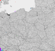
Source: burze.dzis.net / Blitzortung. This block shows detected lightning over Poland, while the main map provides interactive live analysis.

Check where a storm is right now, where it is raining and which direction the rain is moving. The interactive storm map and rain radar help you quickly assess the weather situation in Poland, Europe and selected places around the world.
This tool shows the current weather situation on the map, hourly forecast, precipitation, wind, wind gusts and the approximate storm risk for a selected location. Enter a city, check the radar and see whether heavy rain is approaching your location.
Storm and rain radar
Where is the storm?
Check the rain radar, wind, gusts and current forecast for a selected location.
Hourly forecast
7-day forecast
Important: the map is for information only. Before making safety decisions, check official announcements and weather warnings.
Sources: Open‑Meteo, RainViewer, OpenStreetMap. Warnings: IMGW‑PIB.
Weather data is provided for information purposes. During severe weather events, it is always worth checking official meteorological alerts, especially before travelling, heading into the mountains, going to the beach or organising outdoor activities.
Storm and rain radar — what to check before you go out?
The map shows the movement of precipitation from RainViewer, and the weather panel uses Open-Meteo data.It is not a lightning map or a system for direct lightning detection. The storm risk indicator is only approximate, so before making safety decisions also check the official IMGW warnings.
Table of contents

Check out my YouTube channel and travel with me.
Follow the channel for videos, routes and practical travel inspiration.
Follow me here:
What’s up?
Enjoying my content?
Buy me a coffee at buycoffee.to/ondatravel and support the creation of more travel content.
Your support helps me create more practical guides, videos and travel inspiration.

How to check where a storm is?
The fastest way is to watch the rain radar, the direction in which clouds are moving and the intensity of rain on the map. If an area of heavy precipitation is moving towards your location, it may mean that a storm or a sudden change in weather is approaching.
The best results come from combining several signals: current radar, hourly forecast, wind, gusts and weather warnings. A daily forecast alone is often not enough, because storms can develop locally and very quickly.
What does a storm and rain radar show?
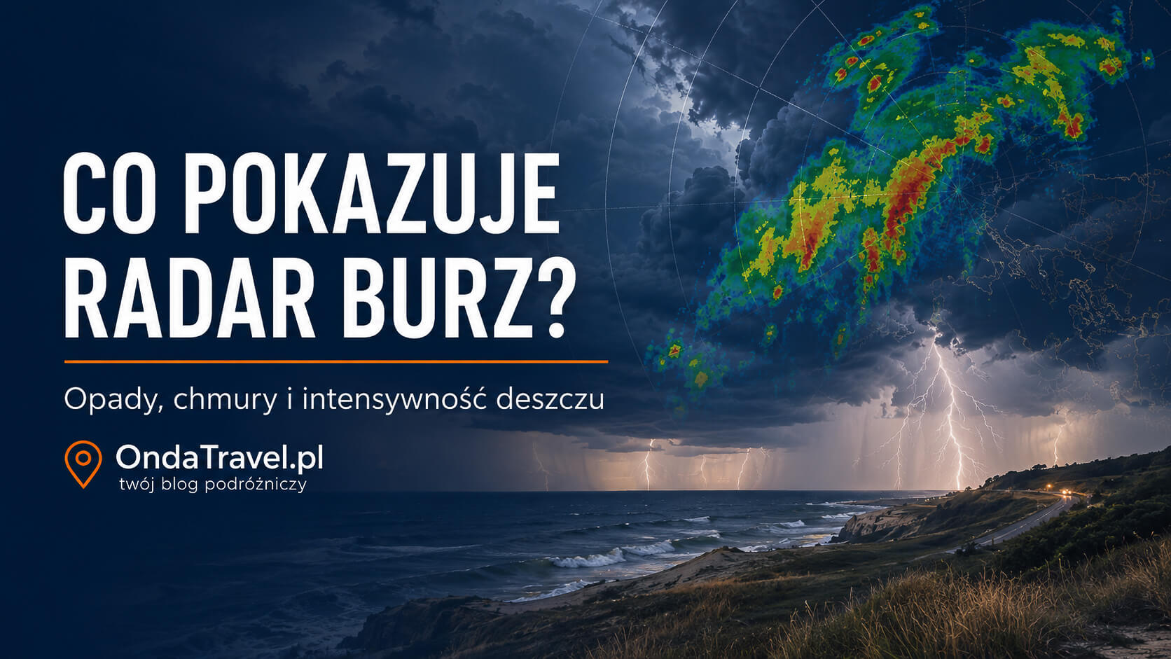
The radar shows areas where rain, snow or intense precipitation cells occur. Colours on the map help assess the strength of precipitation. The more intense the colour, the heavier the precipitation and the greater the likelihood of severe weather.
In practice, a rain radar helps answer several questions: where it is raining now, whether rain is approaching a city, whether a storm is moving towards a beach, trail or driving route, and whether it is worth changing your outdoor activity plans.
Storm radar and rain radar — what is the difference?
A rain radar primarily shows rain, snow and their intensity. A storm radar, in everyday language, helps assess where severe weather events may occur, but for a full assessment it is also worth checking wind, gusts, cloud cover and official meteorological warnings.
If the radar shows a strong precipitation zone and the forecast indicates strong wind gusts or a stormy weather pattern, it is worth taking the situation more seriously. This is especially important for beaches, lakes, mountains, open spaces and routes where it is difficult to quickly find safe shelter.
How to read a storm map?
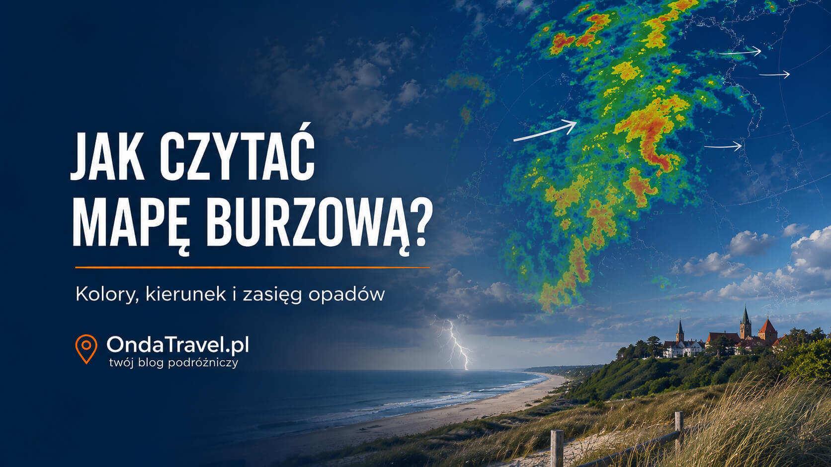
On the map, it is worth looking not only at where precipitation is occurring, but also at how it moves over time. If consecutive frames show that a zone of heavy precipitation is moving towards your location, the weather may deteriorate quickly.
Colours indicate the approximate intensity of precipitation. Weaker colours usually suggest light rain, while stronger colours indicate heavy precipitation, violent precipitation cells or a situation in which you should be cautious.
Is the storm moving towards me?
To assess this, check the position of precipitation on the map and how it moves over time. If an intense precipitation zone is moving towards your location, it is worth preparing for deteriorating weather and checking the latest alerts.
With storms, a safety margin is especially important. Do not wait until the storm is directly above you. If you are on a beach, in the mountains, on the water or in an open space, react earlier.
Where is it raining?

The precipitation map lets you quickly check where it is currently raining and whether precipitation is approaching a selected location. It is useful before travelling, going for a walk, heading to the beach, going into the mountains or planning outdoor activities.
It is worth checking the radar even when the forecast shows only a general risk of rain. Rain may miss one town and then pass very intensely just a few kilometres away.
Storm by the sea — what should you watch out for?
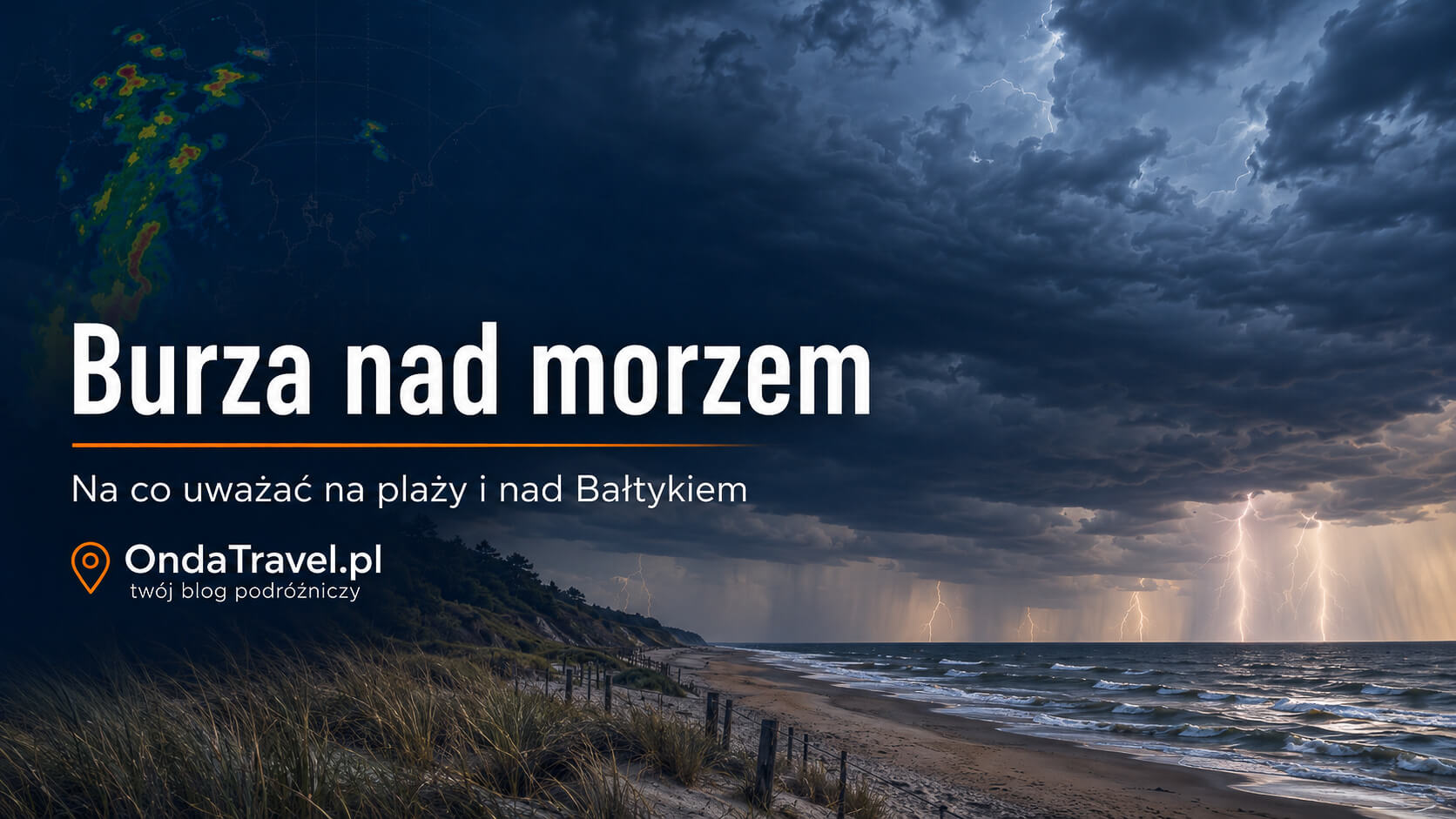
By the sea, the weather can change very quickly. Wind gusts, sudden rain and storms appearing near beaches are especially important. During a storm you should leave the beach, stay out of the water and avoid open spaces.
Before going to the beach, it is worth checking not only the temperature, but also the wind, gusts, rain radar and warnings. When planning a holiday by the Baltic Sea, it is also worth checking practical guides on safety by the water.
Storm in the mountains — why is radar important?

Storms are particularly dangerous in the mountains because conditions can change suddenly. Before heading out on a trail, it is worth checking the rain radar, hourly forecast, wind and meteorological warnings.
If you can see a fast-approaching precipitation zone on the radar, do not plan to go onto an exposed ridge, viewpoint or a long section without a possible descent. In the mountains, it is safest to react earlier, not only when you can already hear thunder.
Weather warnings

The map and forecast are for information purposes. In the event of a risk of severe weather, it is always worth checking official meteorological warnings, especially before travelling, heading into the mountains, going on a cruise, going to the beach or organising an outdoor event.
The most important warning signs are rapidly building dark clouds, strong wind, a sudden drop in temperature, heavy rainfall and lightning. If such signs appear, do not treat the radar as a curiosity, but as a tool for making a quick decision.
Read next
If you are interested in weather phenomena, the sky, observations and travel safety, explore related OndaTravel guides and tools.

Sky phenomena
Calendars, meteors, eclipses, auroras and practical guides to observing the sky.
Go to the section
Aurora radar
Check the aurora forecast, location, conditions and the most important live parameters.
Check the radar
How to photograph the night sky?
Camera settings, photos of meteors, the Moon, the Milky Way and night phenomena.
See the guide
Cyanobacteria in the Baltic Sea and lakes
Symptoms, map, safety rules and practical tips before entering the water.
Check the guideSevere weather we are tracking: Hurricane Simon off Mexico’s Pacific coast, Hurricane Isaias in Florida and Alabama and the tornado in Marsala and Petrosino, Sicily.
Frequently asked questions
Where is the storm right now?
The current situation is best checked on a rain radar. The most important things are the location of intense precipitation and the direction in which it is moving.
How to check storms live?
It is best to use a radar map, hourly forecast and official warnings. Combining these data gives a better picture of the situation than a daily forecast alone.
Does the radar show lightning strikes?
This radar mainly shows precipitation and weather conditions. To confirm lightning strikes, it is worth using official or specialised storm services.
What do the colours on the rain radar mean?
The colours indicate the approximate intensity of precipitation. Weaker colours usually mean light rain, while stronger colours indicate heavy precipitation or violent precipitation cells.
Does a rain radar show snow?
The radar may also show snowfall, but its interpretation depends on temperature, altitude and local atmospheric conditions.
Where does the weather data come from?
The data in the tool comes from external weather and map sources. It is for information purposes and does not replace official meteorological alerts.
Check out my YouTube channel and travel with me.
Follow the channel for videos, routes and practical travel inspiration.
Follow me here:
What’s up?
Enjoying my content?
Buy me a coffee at buycoffee.to/ondatravel and support the creation of more travel content.
Your support helps me create more practical guides, videos and travel inspiration.