

Volcanoes in Iceland: Where They Are, Key Systems and How to Plan Safely
The short answer
Use geology to understand a place, but use the same-day updates from the Icelandic Meteorological Office, SafeTravel and road notices to decide whether and how to go there. In an emergency in Iceland, call 112.
| Question | Short answer |
|---|---|
| Is Iceland always experiencing a volcanic eruption? | No. Iceland has many volcanic systems and abundant evidence of older eruptions, but their status changes. |
| Does steam at Hverir mean an eruption is imminent? | No. Fumaroles and hot springs are geothermal features, not a standalone eruption forecast. |
| Can I enter a lava cave or magma chamber on my own? | Do not assume so. Every location has its own terrain, access rules and, in some cases, guided-only visits. |
| Is Katla more dangerous than a volcano on Reykjanes? | There is no single tourist-danger ranking. Risk depends on the system, ice, weather, terrain, infrastructure and current decisions by authorities. |
Iceland is not an island with one “active volcano” to tick off a list. It is a country of volcanic systems: fissures and lava fields on Reykjanes, volcanoes under ice, geothermal areas, lava tubes and infrastructure that uses heat from below ground. A volcanic landscape does not mean an eruption is happening, nor that a route is open today.

Check out my YouTube channel and travel with me.
Follow the channel for videos, routes and practical travel inspiration.
Follow me here:
What’s up?
Enjoying my content?
Buy me a coffee at buycoffee.to/ondatravel and support the creation of more travel content.
Your support helps me create more practical guides, videos and travel inspiration.

Why Iceland is volcanic
Iceland straddles the Mid-Atlantic Ridge, where the North American and Eurasian plates are moving apart. On land, this makes visible processes that happen below the sea along much of the ridge: crustal fractures, magma movement and repeated lava fields. That is useful context, not a replacement for the underlying science of eruptions, magma and lava. For those questions, read What Is a Volcano?.
VOLCANOES
Volcanoes: from magma to eruption
Understand the universal processes before treating a volcanic system as one mountain, or confusing unrest with an eruption.
In Iceland it helps to separate three questions: where a system lies, what landscape it has created, and what its status is now. A lava field, a fumarole or a visible crater can reveal a place’s history, but none alone determines a current hazard level. A large depression is not automatically a “big crater”, either. When an Icelandic example raises that question, use the caldera guide to distinguish collapse structures from ordinary craters without turning either word into an eruption forecast.

VOLCANOES
Caldera or crater?
See how a caldera forms by collapse and why a landform name is not a prediction.
How to read an Iceland volcano map
A traveller’s map is more useful as a set of environments than as a ranking of “dangerous volcanoes”. Each environment leads to a different kind of visit and a different way of checking conditions.
| Environment | What it can show | The useful next question |
|---|---|---|
| Reykjanes | fissures, craters, young lava and geothermal ground | is the region and its route open today? |
| Former volcanic interior | lava tubes and solidified channels | does this visit need a route or a guide? |
| Geothermal areas | steam, mud, hot water and bathing infrastructure | how can I visit without treating it as an eruption signal? |
| Ice-covered systems | glaciers, glacial rivers and jökulhlaup risk | what are the route and warning conditions? |
This page does not freeze a supposedly current number of “active volcanoes”. Institutional definitions and system status vary, and a number cannot tell you whether a road, car park or trail is open. Access, hazards and notices can change. Check IMO, SafeTravel and road notices again on the day of travel; this article is not confirmation of access or an eruption forecast.
Reykjanes: fissures rather than one cone
The Reykjanes Peninsula shows why “volcano” can be too simple a word. Magma can reach the surface along a fissure, building crater rows and lava fields rather than one classic cone. This is where geology must meet a practical decision: a historical article cannot tell you where you may drive today. For the regional landscape, use the Reykjanes guide; for current conditions, return to official live sources.
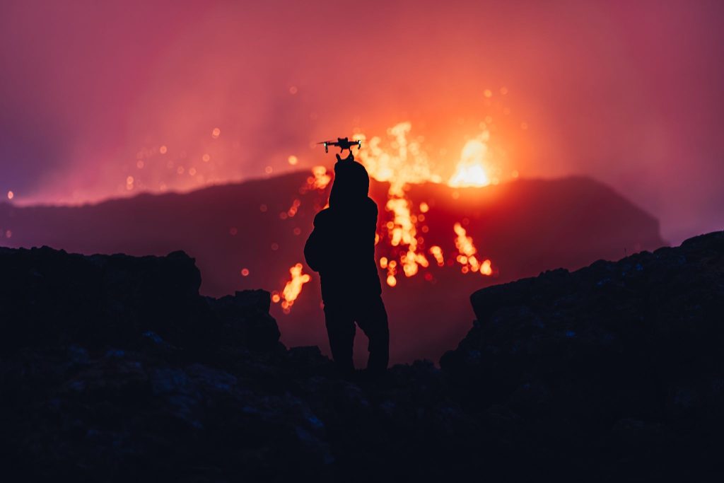
ICELAND
Reykjanes: fissures and geothermal landscape
Connect the peninsula’s geology with places to see, then check today’s restrictions separately.
Fagradalsfjall is a valuable documented story of recent eruptions and lava landscape. It is not a substitute for a current notice on access, gas or closures. The next link is therefore an historical landscape guide, not a promise of an “active volcano tour”.
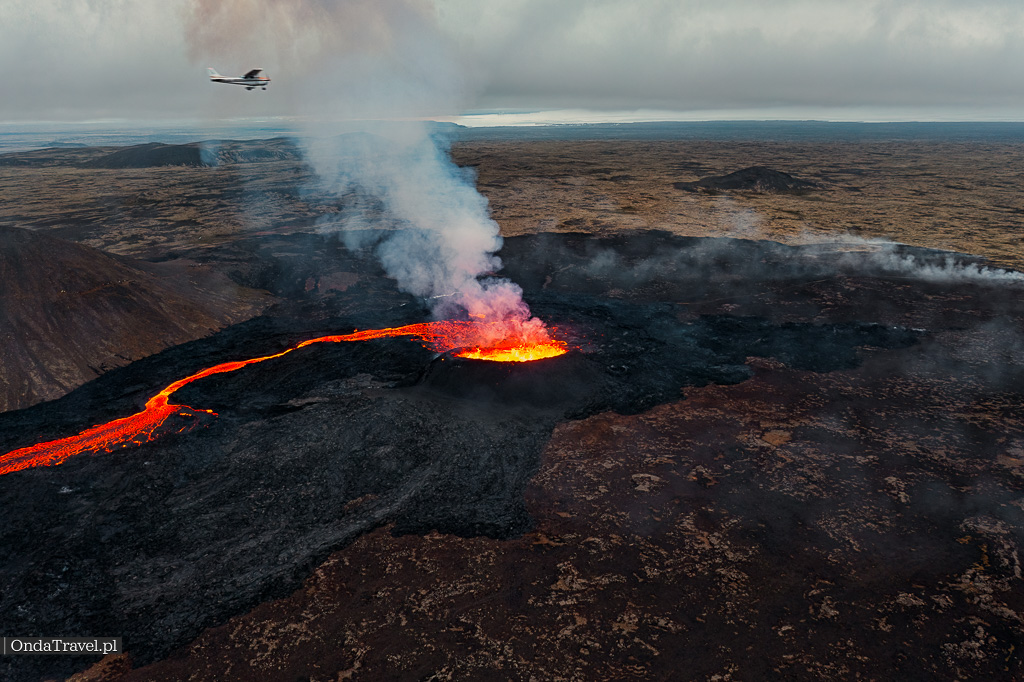
ICELAND
Fagradalsfjall: eruption history in the landscape
Follow documented Reykjanes eruptions without using a historical guide as current access confirmation.
From underground lava to energy and pools
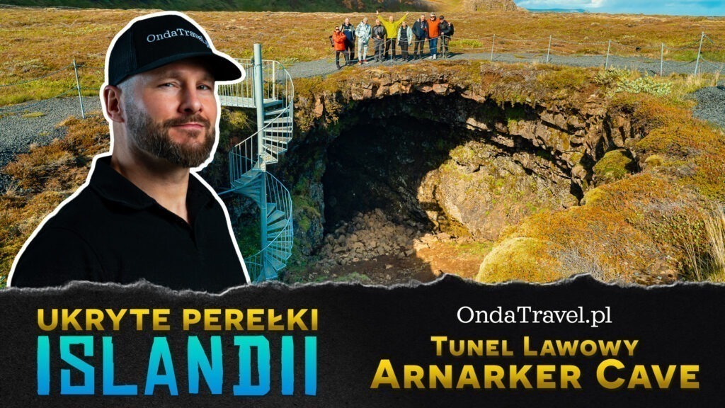
The volcanic story is not limited to a cone seen from outside. In the Arnarker lava cave, a solidified channel shows how flowing lava can leave underground space behind. It is the right next step for a reader asking how an older eruption changes a landscape and what a specific cave visit involves.
REYKJANES
Arnarker: a Reykjanes lava tube
Move from a lava field to a specific cave visit without calling it an active volcano.
Þríhnúkagígur answers a different question: what a former magma chamber looks like when it is visited as an organised, guided experience. Do not equate that with approaching an eruption or independently exploring a volcanic system.

REYKJANES
Þríhnúkagígur: descend into a former magma chamber
Connect underground geology with the practical terms of a guided visit.
Steam, mud pots and sulphur at Hverir show geothermal heat close to the surface. They are not proof that an eruption is under way. Geothermal features help explain why heat from below ground is so important in Icelandic homes, pools and infrastructure, while still requiring visitors to remain on marked paths and follow local rules.

TOP ATTRACTIONS ICELAND
Hverir: read a geothermal landscape safely
Understand fumaroles and mud pots as geothermal phenomena, not as a standalone eruption warning.
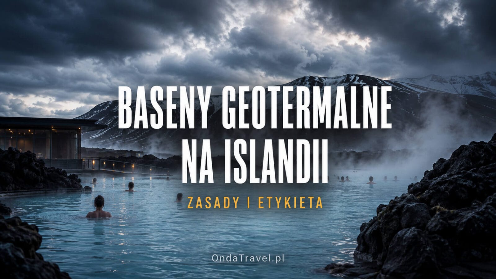
For everyday travel, that same context leads to geothermal pools in Iceland. This is the appropriate next step for someone asking why warm water matters in the country and how to use pools respectfully. It does not make every pool a natural geothermal field, and it does not freeze prices, opening hours or availability.
PLANNING & ITINERARIES
Geothermal pools: rules and etiquette
Move from geology to bathing practice, hygiene and local norms.
Ice-covered systems: why Katla is a different travel question
Ice adds another factor to a volcanic system. Heat and magma can interact with ice and water, so the hazards can include not only lava or ash but rapid glacial floods known as jökulhlaups. That is why a Katla section should not stop at “is the volcano active?” Route conditions, weather, official notices and the nature of a particular excursion matter more in practice. Those are developed in the Katla Geopark route guide.

SOUTH COAST
Katla Geopark: volcano, glacier and route planning
Connect an ice-covered volcanic system with the practical route context instead of treating the name Katla as an alert.
Plan a trip without pretending to forecast an eruption
- Choose the kind of experience first: fissure landscape, older lava, lava tube, geothermal field, pools or glacier terrain.
- Separate a historical guide from a live notice. Old eruption dates and photographs do not establish today’s access.
- Check IMO, SafeTravel and Umferdin on the day; follow rangers, emergency services, road closures and weather information.
- Do not walk on new lava, leave marked routes or ignore volcanic gas. Wind, ground conditions and an area status can change quickly.
- When information is unclear, do not replace it with an earthquake map or a blog post. Use an official notice or choose another plan for the day.
FAQ
Is Iceland always experiencing a volcanic eruption?
No. Iceland has many volcanic systems and abundant evidence of older eruptions, but their status changes. Check official sources for current activity and travel guidance before a trip.
Are Reykjanes and Fagradalsfjall the same thing?
Not exactly. Reykjanes is a region with several systems and volcanic landscapes; Fagradalsfjall is a mountain on that peninsula and a specific reference point for recent eruption history. The two guides answer different questions.
Does steam at Hverir mean an eruption is imminent?
No. Fumaroles and hot springs are geothermal features, not a standalone eruption forecast. Official assessments use multiple types of monitoring data.
Why does Iceland have so many geothermal pools?
The country makes daily use of heat from below ground, and bathing facilities are an important part of local life. Check each operator for current rules, prices and availability.
Can I enter a lava cave or magma chamber on my own?
Do not assume so. Every location has its own terrain, access rules and, in some cases, guided-only visits. Check the relevant guide and operator information.
Is Katla more dangerous than a volcano on Reykjanes?
There is no single tourist-danger ranking. Risk depends on the system, ice, weather, terrain, infrastructure and current decisions by authorities. Compare live notices, not volcano names.
Does an earthquake map mean a volcano in Iceland is about to erupt?
Not by itself. Changes in seismic activity can be one of the signals assessed by specialists, but a single point or an earthquake swarm is not a traveller’s eruption forecast. Before travelling, check current IMO notices, SafeTravel and the conditions on your route.
What should I check before driving into a volcanic area?
Check three separate things: hazard notices from IMO/SafeTravel, road status and closures from Umferdin, and the rules of the specific operator or attraction. None of these sources replaces the others, and their status can change on the day you travel.
Sources and editorial limits
- Icelandic Meteorological Office: dynamic monitoring and notices;
- SafeTravel / ICE-SAR: travel safety and 112;
- Icelandic Road and Coastal Administration: roads and closures;
- USGS: Mid-Atlantic Ridge and volcanism background.
This guide explains processes and planning choices. It is not a safety notice, eruption prediction or a substitute for an attraction operator’s conditions.



Sorry, the comment form is closed at this time.