


Hverir in Iceland (Námaskarð) – Parking and Visiting Guide
Hverir in Icelandis a place where the ground literally hisses, bubbles and changes colour under the influence of hot steam and minerals. The geothermal field lies at the foot of Mount Námafjall, a few kilometres east of Lake Mývatn, and is one of the most extraordinary stops along the northern section of the Ring Road.
First you see white plumes of steam and rust-yellow slopes. A moment later you hear the fumaroles, while the intense smell of sulphur leaves no doubt that an active hydrothermal system is operating beneath the surface. The landscape is spectacular, but this is not an amusement park: a thin crust can conceal extremely hot mud, so the marked route is a real safety boundary.
Key information before your visit
Hverir, also known as Hverarönd or Námaskarð, is an active geothermal field beside Route 1, east of Lake Mývatn. Its most striking features are bubbling mud pots, hissing fumaroles, an intense sulphur smell and ground that is almost completely devoid of vegetation.
| What you should know | Practical answer |
|---|---|
| Location | At the foot of Námafjall, directly beside Route 1, a few kilometres east of Mývatn |
| Visit duration | About 30–60 minutes; allow more time for photography or a hike up the Námafjall ridge |
| Parking | Paid; check the current fee and payment method on the signs and machine at the site |
| Most important rule | Stay on the marked paths and do not cross the safety ropes |
| Bathing | No. The mud, steam and water can be extremely hot, and the ground is unstable |
| Best combination | Krafla, Víti, Leirhnjúkur, Grjótagjá, Hverfjall, Dimmuborgir and Earth Lagoon Mývatn |
| Coordinates | Approximately 65.6402, -16.8222 |
Watch the video from Hverir and Krafla
The video below shows the scale of the geothermal field, the movement of the steam, bubbling mud and the landscape of Krafla. It helps you judge how much time to allow for the visit and why leaving the marked route would be an exceptionally bad idea.
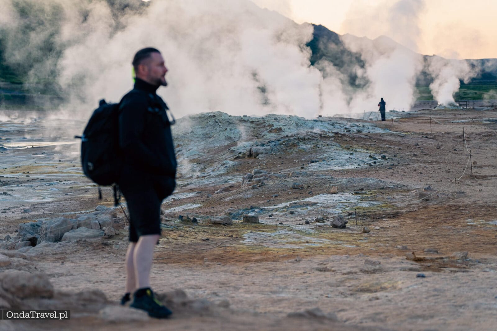
Marked walkways lead between numerous fumaroles, hot fissures and mineral deposits.
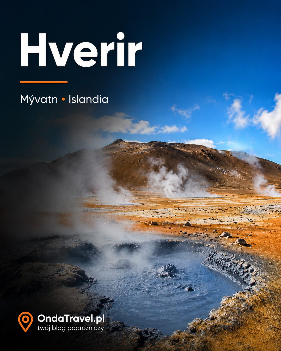
Hverir: sulphur-coloured ground, fumaroles and mud pots in North Iceland.
Table of contents
- Video from Hverir and Krafla
- Hverir, Hverarönd, Námafjall and Námaskarð
- What to see at Hverir
- Why the ground steams and bubbles
- The history of sulphur mining
- Hverir and the Krafla volcanic system
- Visiting, time and route
- Parking and directions
- Safety and the smell of sulphur
- Trail to Námafjall
- When to visit
- Photography
- Is Hverir worth visiting?
- Attractions around Mývatn
- Ready-made itineraries
- Iceland guide and onward route
- Film locations around Hverir and Mývatn
- Why Hverir is compared to Mars
- Useful official websites
- Frequently asked questions

Check out my YouTube channel and travel with me.
Follow the channel for videos, routes and practical travel inspiration.
Follow me here:
What’s up?
Enjoying my content?
Buy me a coffee at buycoffee.to/ondatravel and support the creation of more travel content.
Your support helps me create more practical guides, videos and travel inspiration.

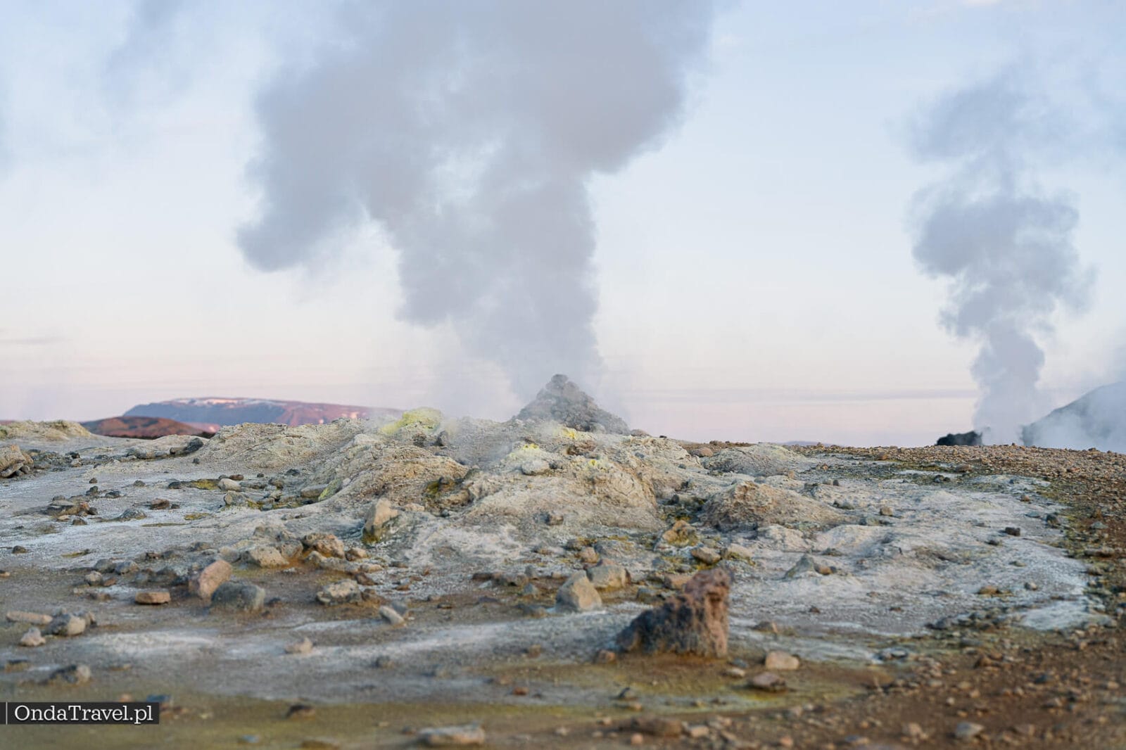
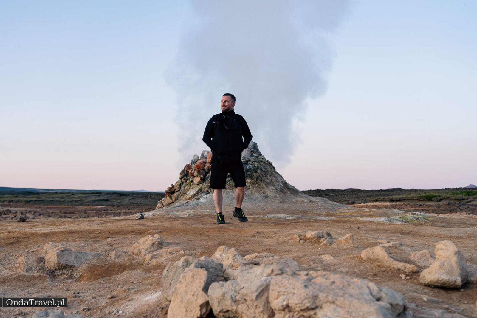
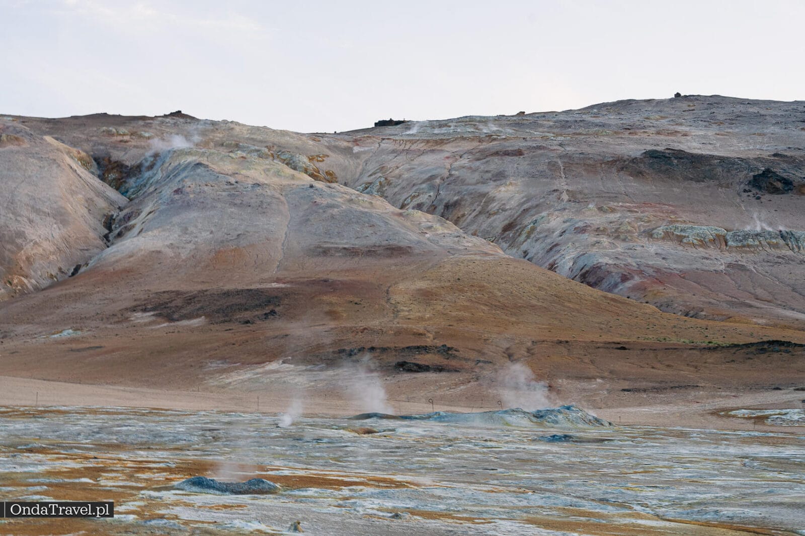
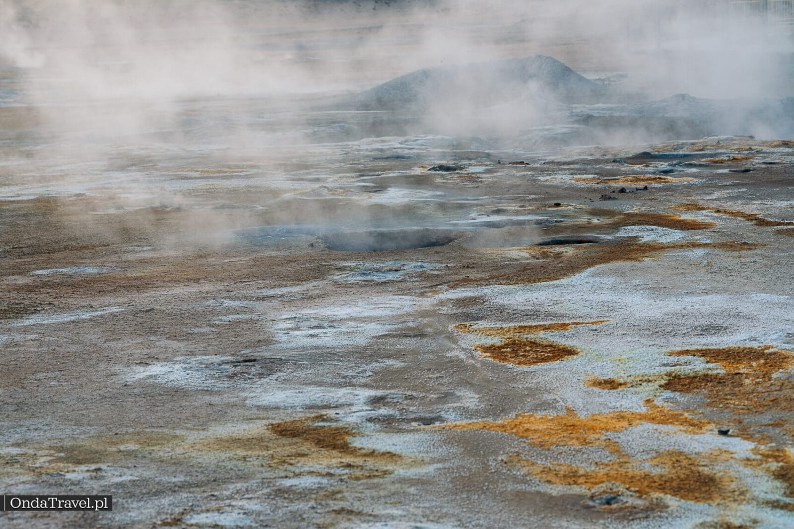
Hverir – fumaroles, colourful ground and the Námafjall landscape
Hverir, Hverarönd, Námafjall and Námaskarð – what is the difference between the names?
Hverir, Námafjall and Námaskarð are related but distinct place names in the Mývatn region.
Four names appear in guidebooks and on maps, and they are often treated as synonyms.Hveriris the name most commonly used for the site visited by tourists.Hveraröndrefers to the geothermal area on the eastern side of the mountain.Námafjallis the ridge rising above the field, whileNámaskarðis the name of the nearby mountain pass.
The Icelandic wordhvermeans a hot spring or geothermal place. The elementnámais associated with a mine and the extraction of natural resources, whileskarðmeans a mountain pass. The name Námaskarð therefore preserves the memory of a time when the Námafjall area was an important centre of sulphur extraction.
In practice, entering Hverir, Hverarönd or Námaskarð into your navigation usually leads to the same parking area. It is still worth understanding the distinction, especially if you plan not only a short walk around the field but also a hike up the Námafjall ridge.
What can you see at Hverir?
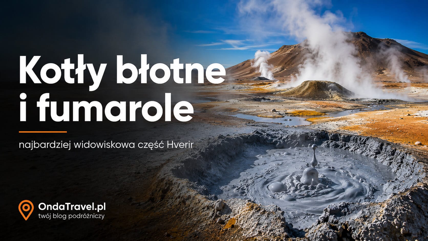
Bubbling mud pots and fumaroles are among the most spectacular features at Hverir.
Hverir is not a classic geyser field like Geysir. There is no single vent that shoots a tall column of water at regular intervals. The main features are fumaroles, hot gas vents and large pots filled with grey and brown mud. The official regional description notes that there are numerous steam and mud springs here, but no typical hot-water springs.
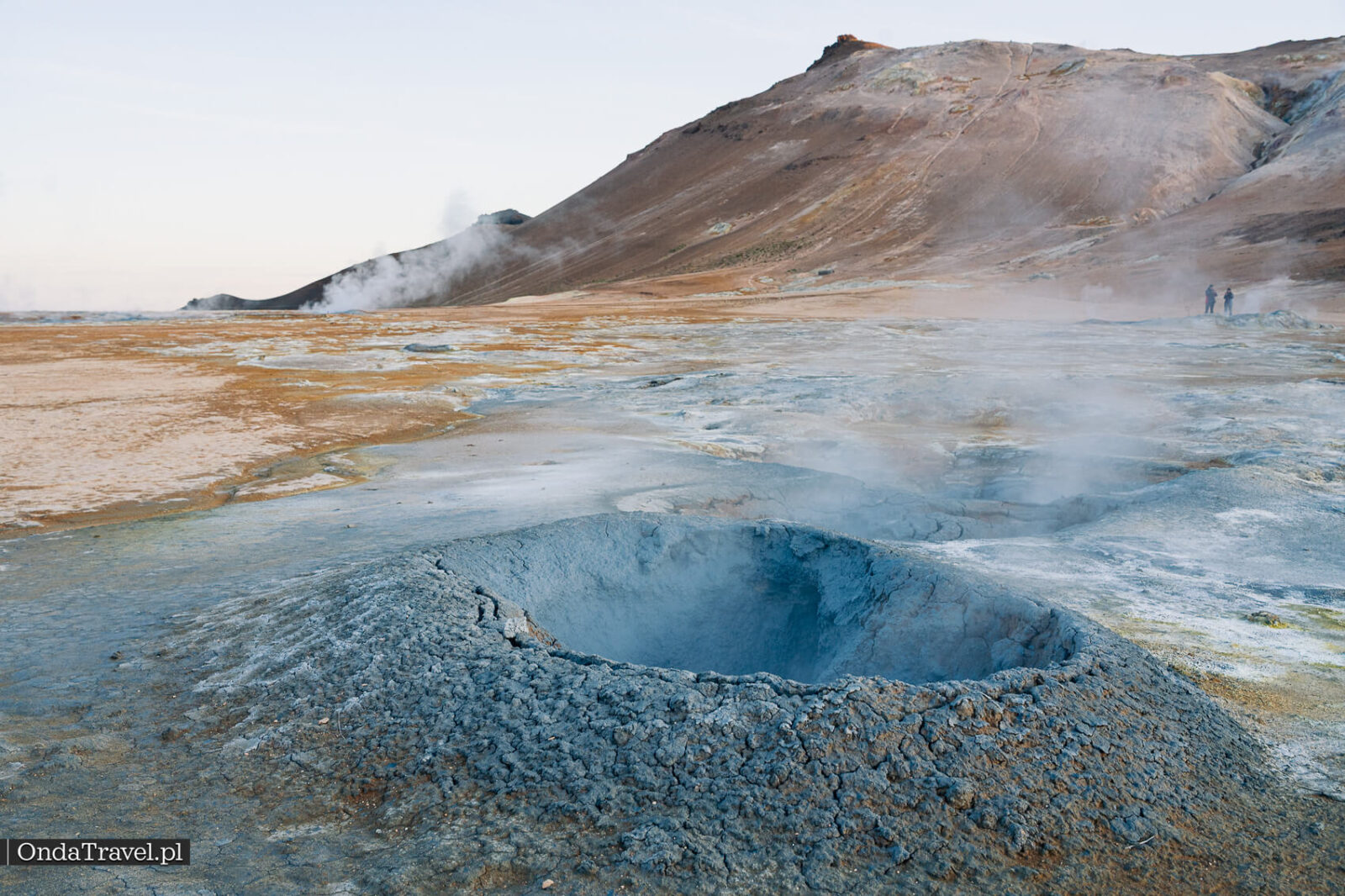
Steaming mud pots are among the most distinctive features of the Hverir geothermal field.
Bubbling mud pots
The surface of the mud pots constantly trembles, cracks and forms heavy bubbles. Acidic steam and hot water gradually break down the rock, turning it into a mixture of clay, minerals and water. After rainfall the mud may be thinner and more active, while during dry periods it becomes thicker.
It is best to watch the pots from a safe distance and wait for a moment. Some bubbles appear in quick bursts, while others grow slowly and burst only after several seconds. This is a good opportunity for burst photography or a short video clip.
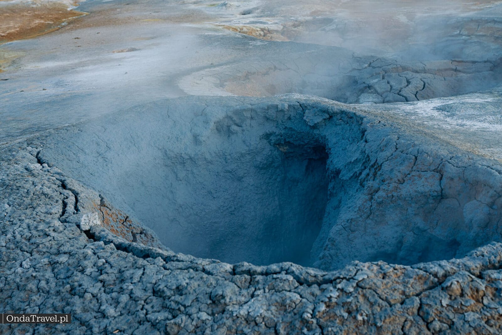
Hot gases pushing through waterlogged clay keep the mud in constant motion.
Fumaroles and steaming fissures
Fumaroles are openings through which steam and volcanic gases reach the surface. At Hverir, some create tall plumes visible from Route 1. In strong winds the steam can travel almost horizontally, and a sudden change in wind direction may cover part of the path within seconds.
Not every vent looks entirely natural. Some steaming spots are linked to older boreholes that were surrounded with stones. They are traces of twentieth-century research into sulphur and the potential use of local geothermal energy.
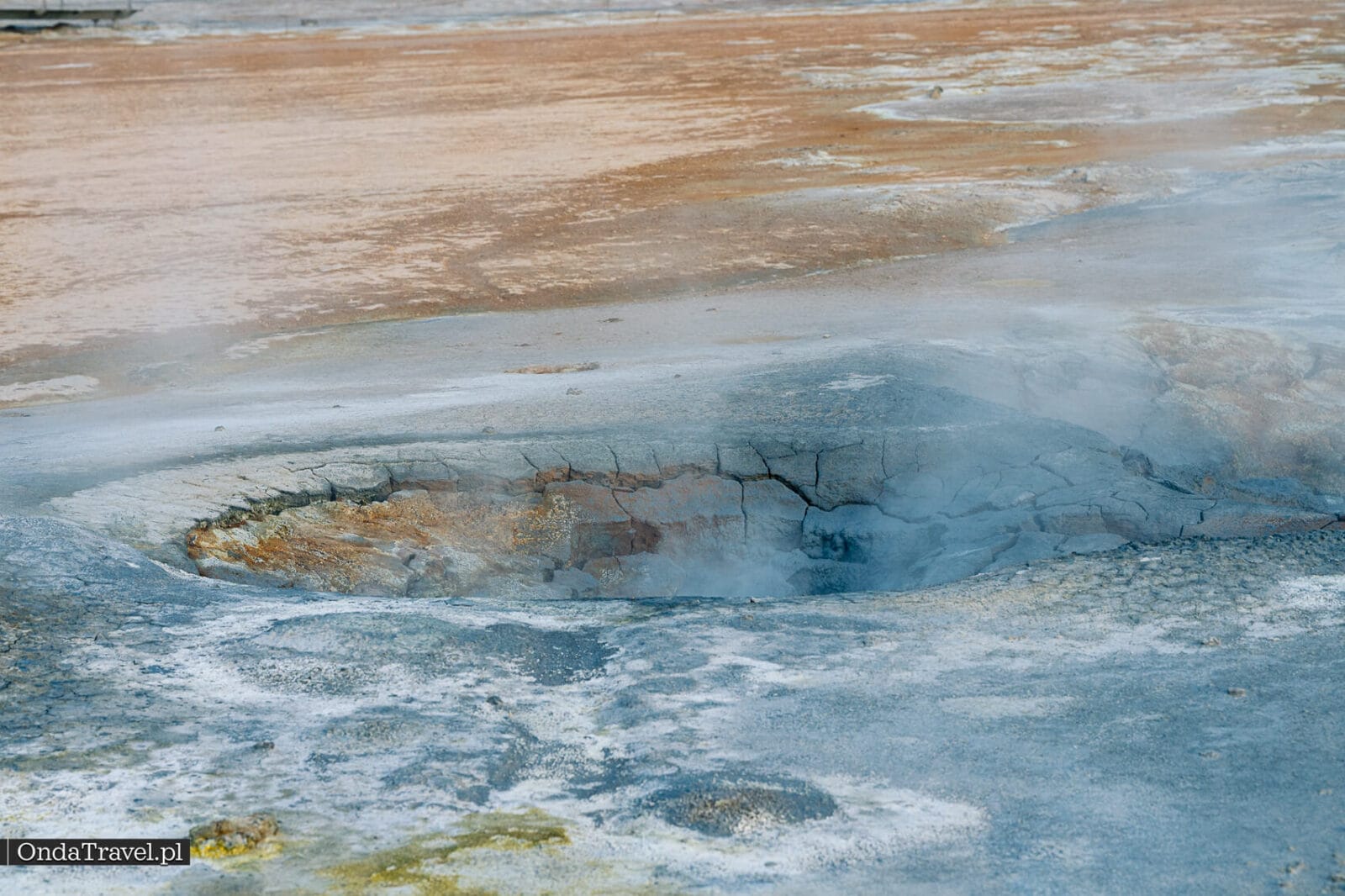
Geothermal activity is not limited to the large fumaroles — steam also escapes from small fissures.
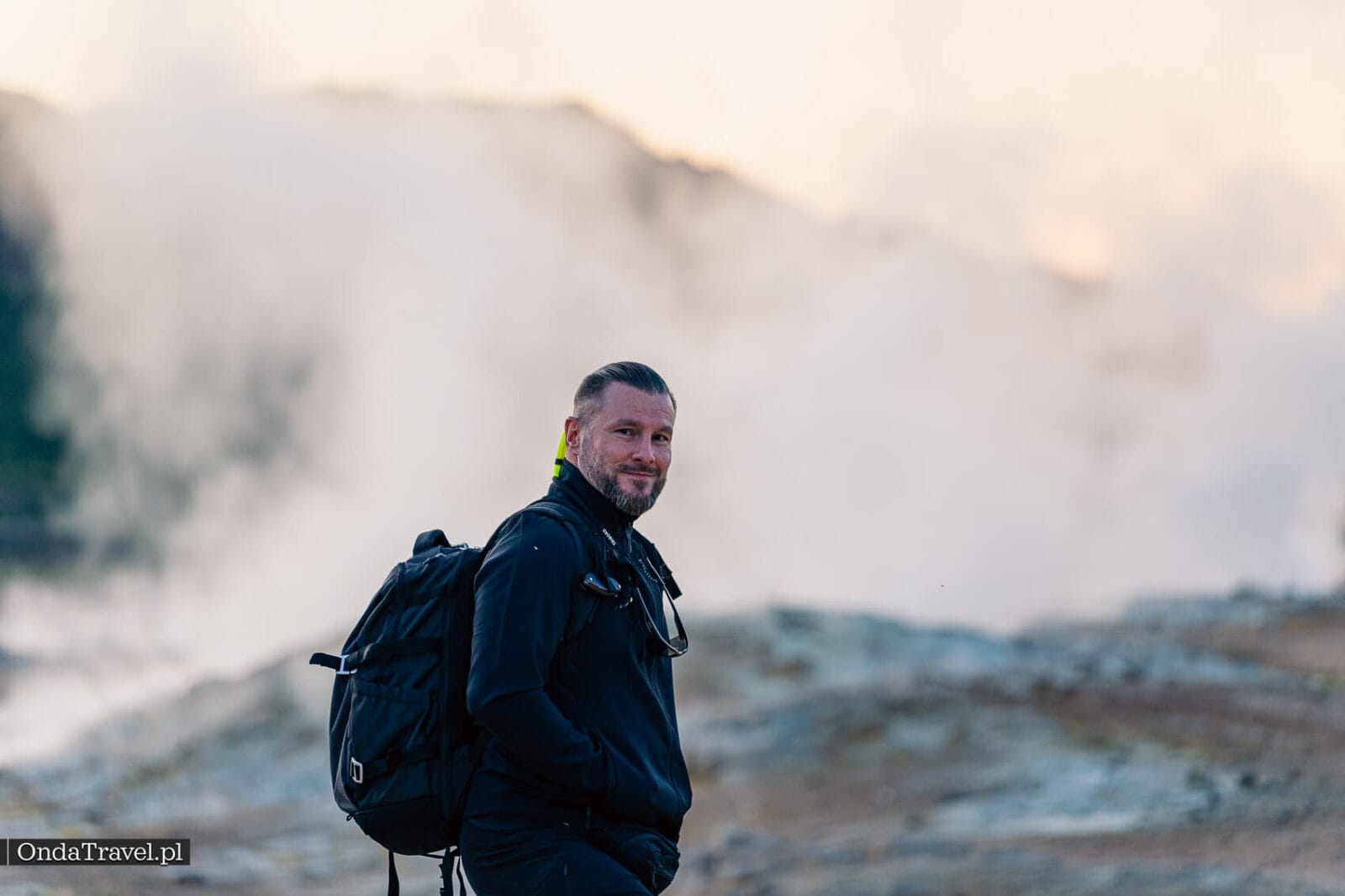
Even from a safe distance, steam from the fumaroles can completely fill the background of a photograph.
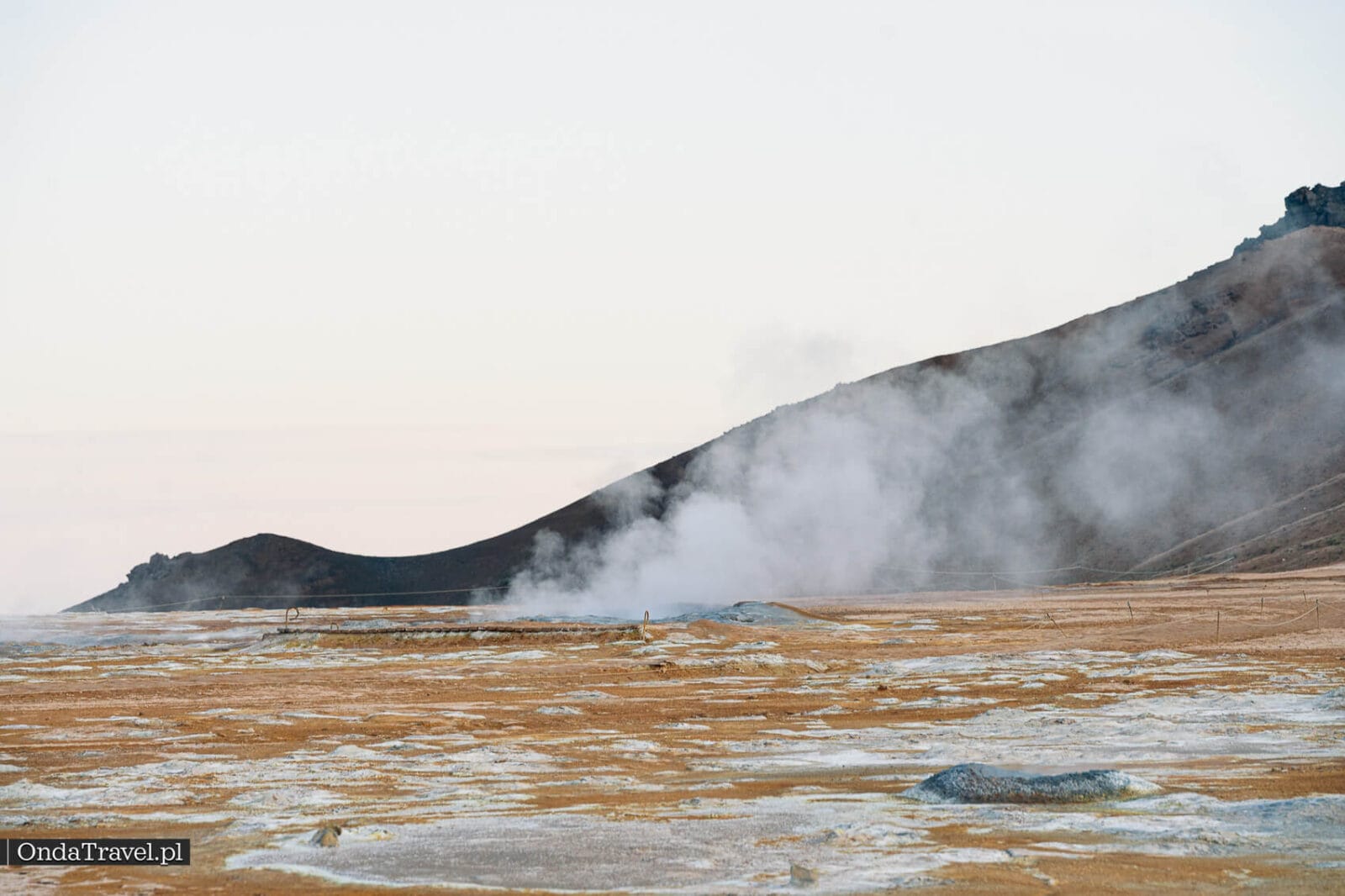
Steam escapes from many fissures scattered across Hverir’s mineral field.
Yellow, red and orange ground
The intense colours are created by different minerals and reactions occurring in the hot, acidic environment. Yellow surfaces are primarily associated with sulphur, while red and brown shades are linked to iron minerals. Research has identified, among others, hematite, goethite, jarosite, gypsum, kaolinite and silica.
The acidic ground, high temperatures and gases mean that almost no vegetation grows on the main field. The contrast with Lake Mývatn, only a few kilometres away, is dramatic: wetlands and birds dominate there, while here the barren ground resembles a desert.
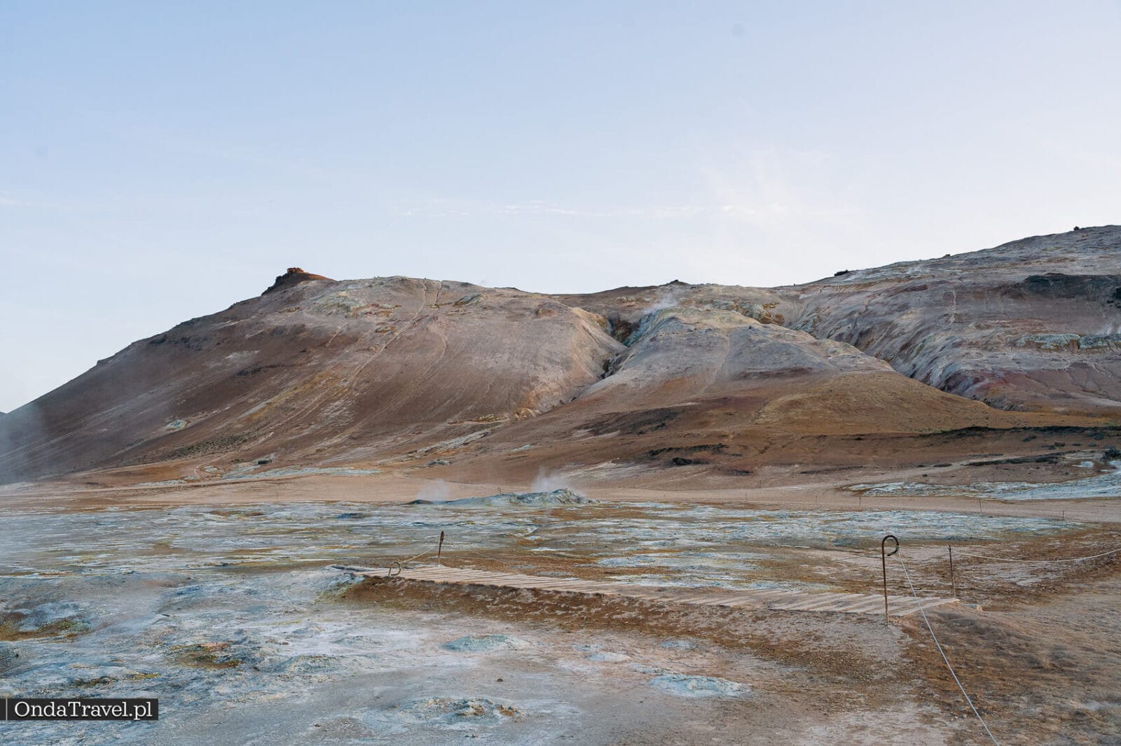
A wide view shows the Hverir field directly at the foot of the Námafjall massif.
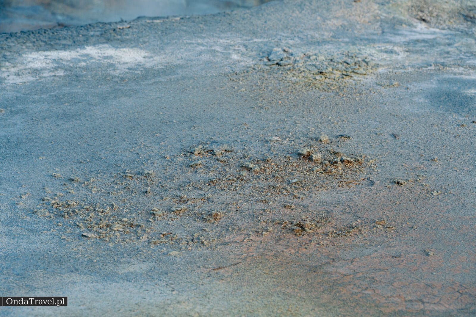
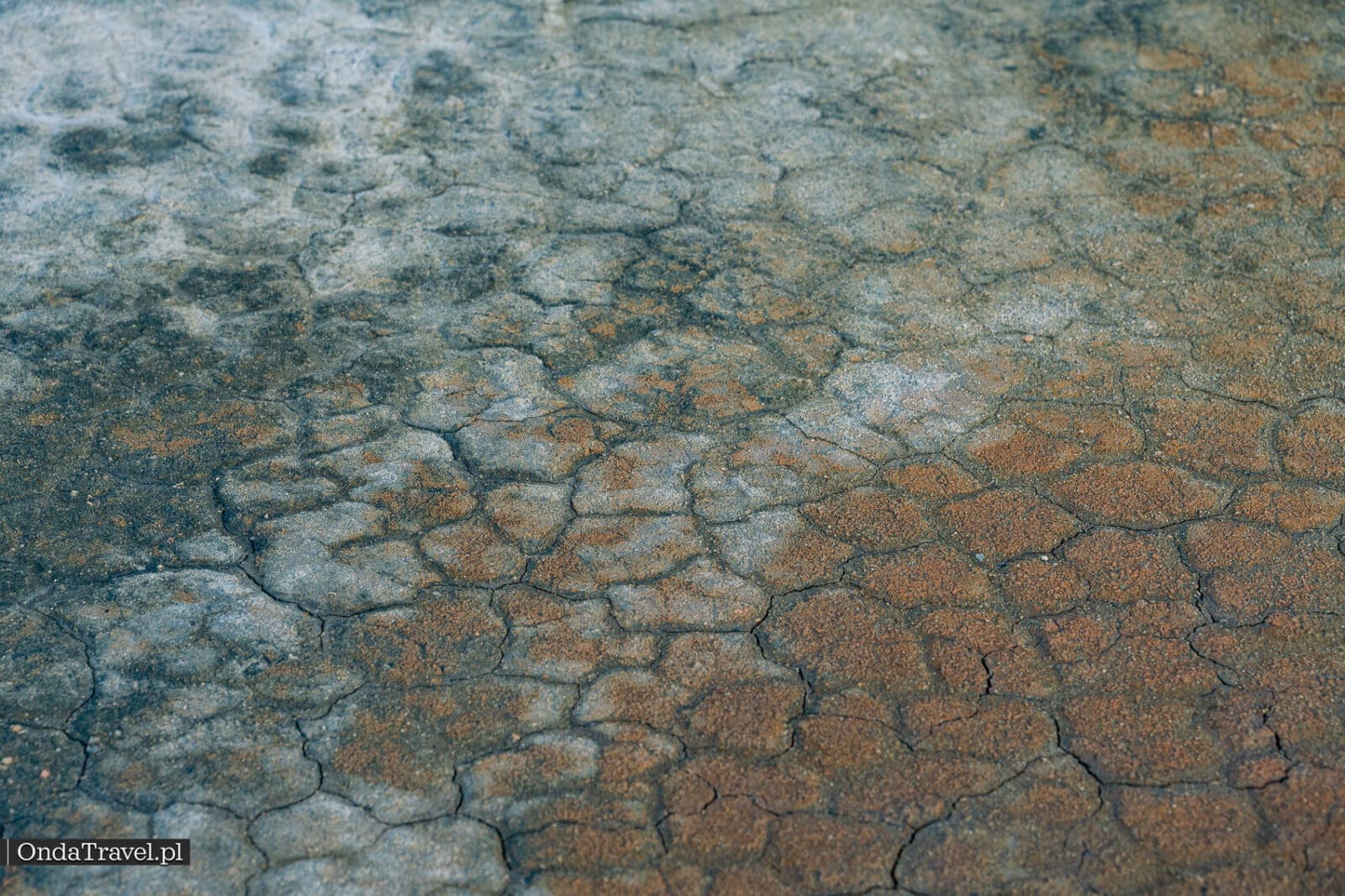
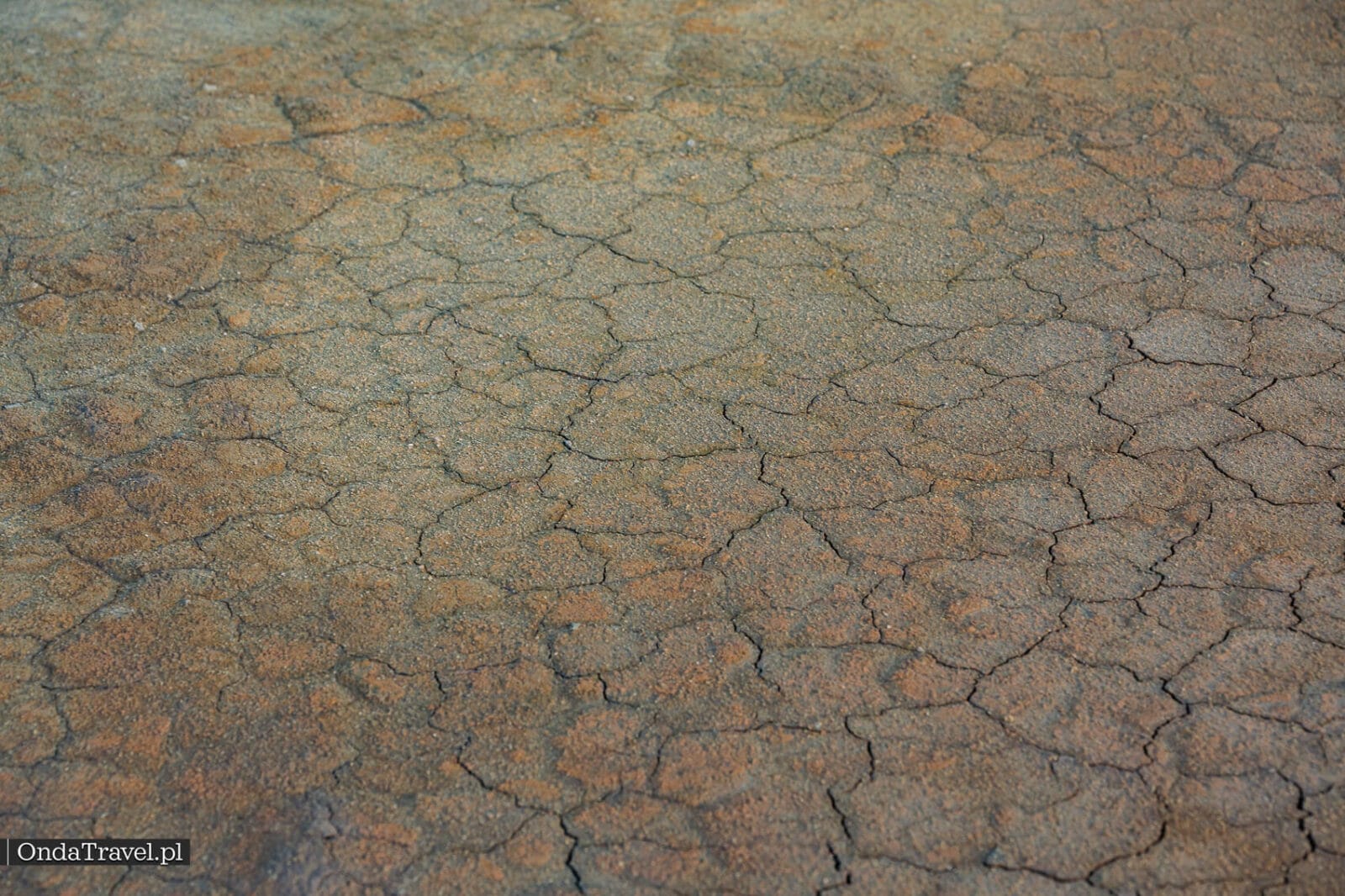
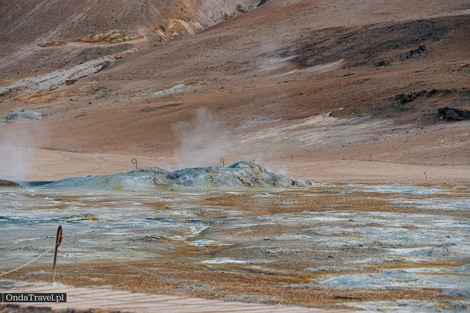
Yellow, red and orange ground at Hverir
Why does the ground at Hverir steam and bubble?
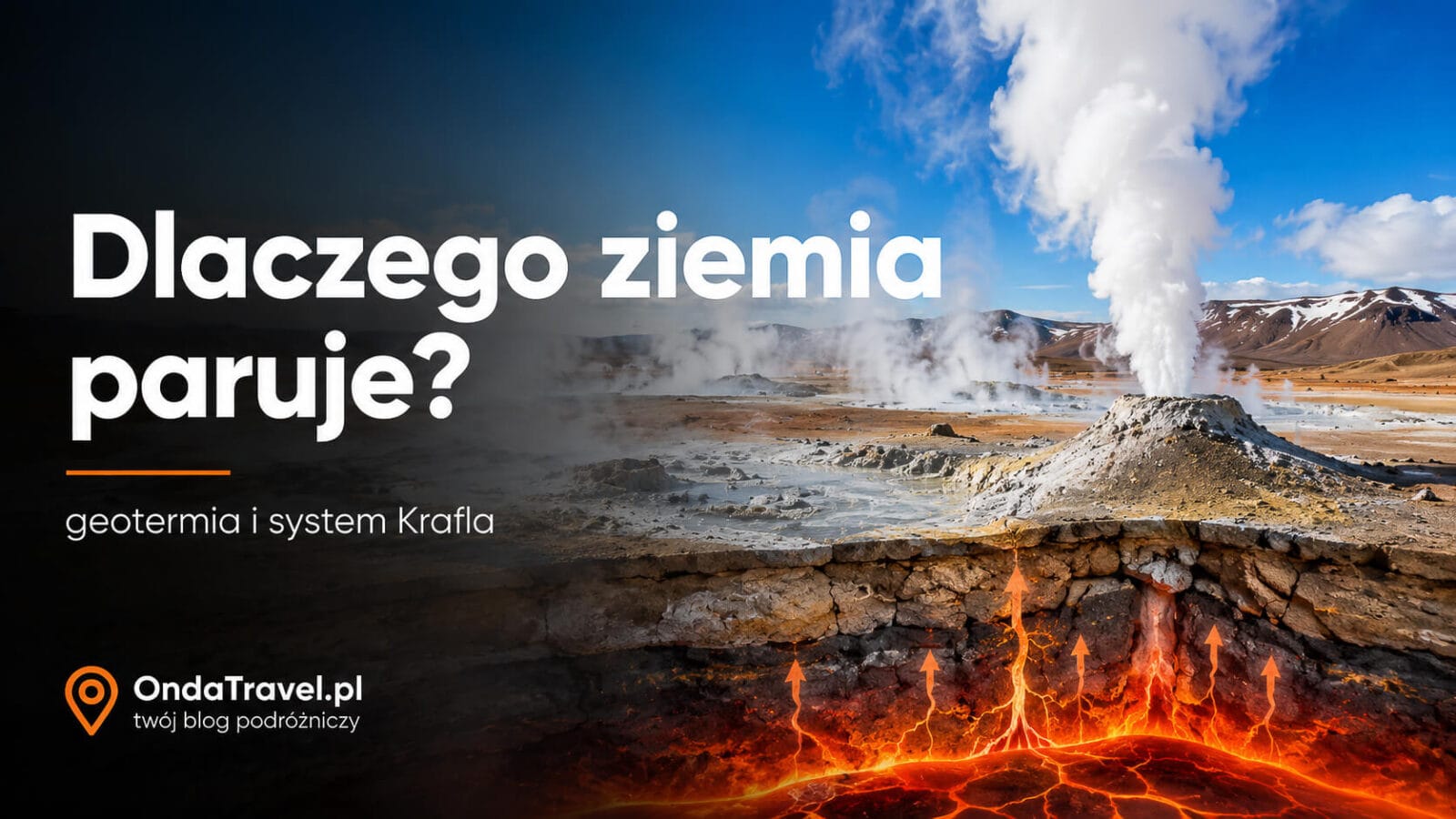
The steam and hot gases at Hverir are caused by geothermal activity in the Krafla volcanic system.
Iceland lies on the boundary between the North American and Eurasian tectonic plates. In the north of the island, the plates move apart within an active rift zone. This allows magma to move closer to the surface and heat water circulating through fractures in the rock.
Hverir is the surface expression of a much larger hydrothermal system connected to the Krafla volcano. Deep underground, temperatures exceed 200°C. Water turns into steam, mixes with gases and uses cracks in the rock to rise towards the surface. Depending on the amount of water and the nature of the ground, the result may be fumaroles, hot gas vents or mud pots.
Such a system is not static. Individual vents may weaken, become more active or change appearance. For this reason, the route of the safe trail and the position of the barriers should always be treated as current safety information, not as suggestions that can be ignored for a better photograph.
The history of sulphur mining at Námafjall
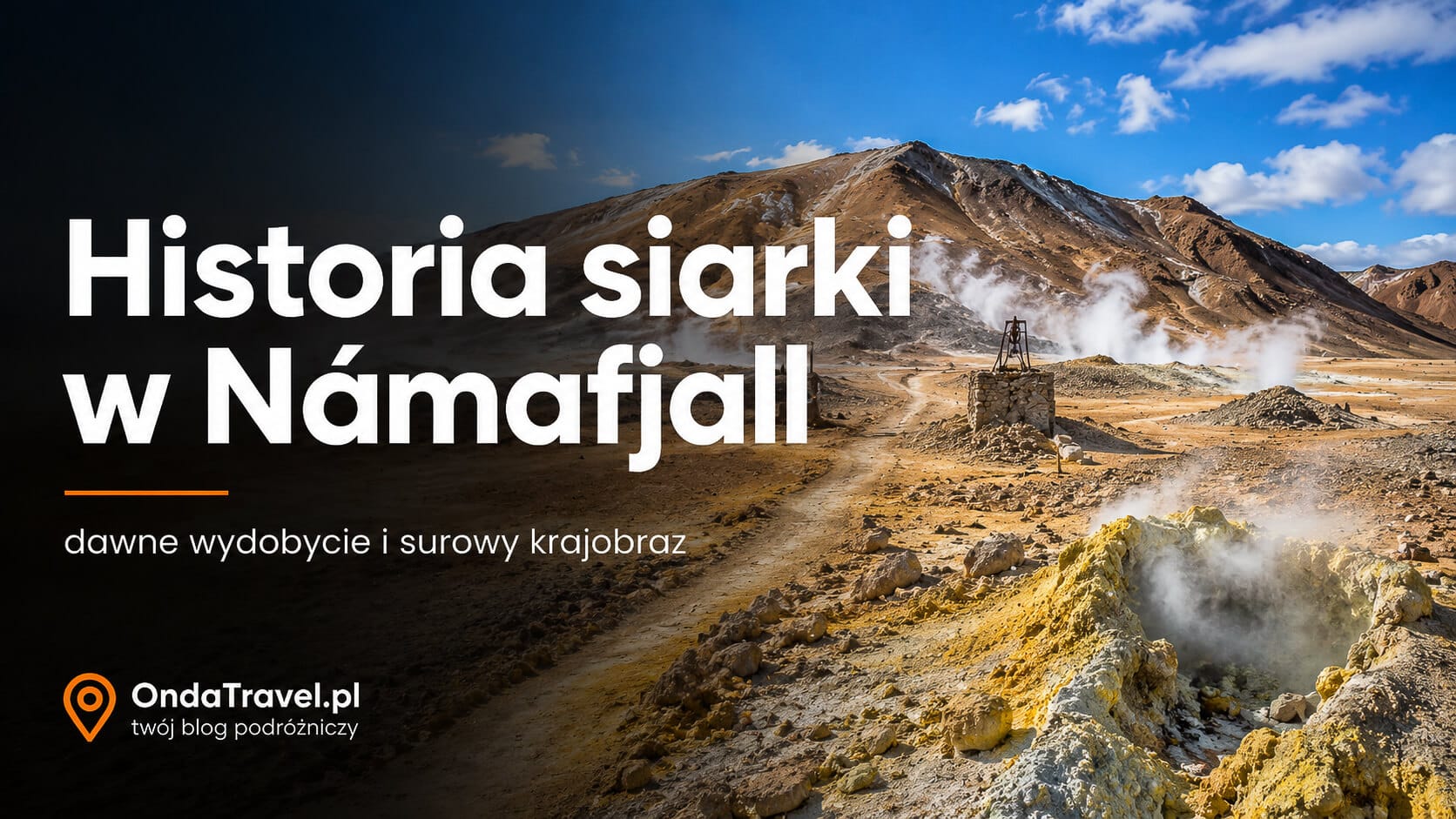
Sulphur deposits at Námafjall are a reminder of the region’s former mining activity.
The area around Hverir was used commercially long before tourists arrived. Sulphur was probably extracted in the Námafjall area as early as the thirteenth century. It was a valuable commodity because it was used, among other things, to make gunpowder.
In the sixteenth century, the local deposits came under the control of the Danish Crown. The work took place in an exceptionally difficult environment: on unstable, hot ground, amid irritating steam and gases. The material then had to be purified and transported across the poorly accessible terrain of North Iceland.
Extraction continued with varying intensity until the nineteenth century. Attempts were still made to restart mining around 1940. Eventually, research into and use of geothermal energy became more important than the sulphur itself.
Námaskarð is more than an evocative name on a map. The “mine pass” recalls several centuries of people working in one of Iceland’s most hostile landscapes.
Hverir and the Krafla volcanic system
Námafjall and Hverir belong to the active Krafla volcanic system, which includes a caldera, volcanic fissures, lava fields and geothermal areas. The most important historical episodes were the Mývatn Fires, which began in 1724, and the Krafla Fires of 1975–1984.
During the latter period, a series of eruptions, earthquakes and underground magma movements occurred. Geologically young lava fields can now be seen at Leirhnjúkur. Together with Hverir, they form a clear lesson in volcanism: at one site you observe hot gases and altered ground; at the other, solidified lava flows and fissures left by recent activity.
The area also contains facilities that use geothermal energy, including Bjarnarflag and the Krafla power station. This infrastructure is part of the modern landscape, but visitors must not enter service roads or cross marked restricted zones.
Visiting Hverir – how much time do you need and what is the route like?
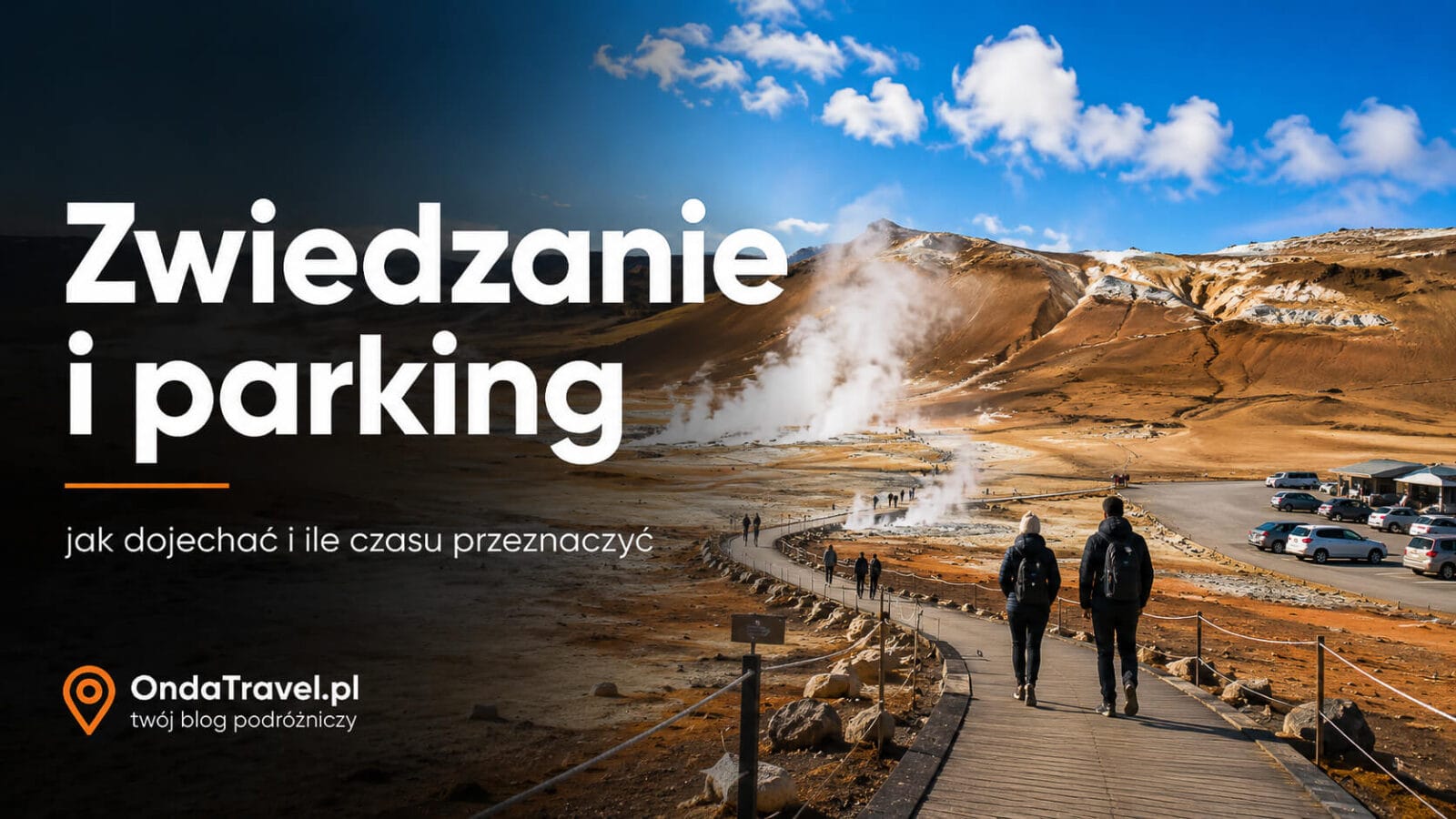
The parking area is directly beside the Hverir field, and the marked route leads between fumaroles and sulphur deposits.
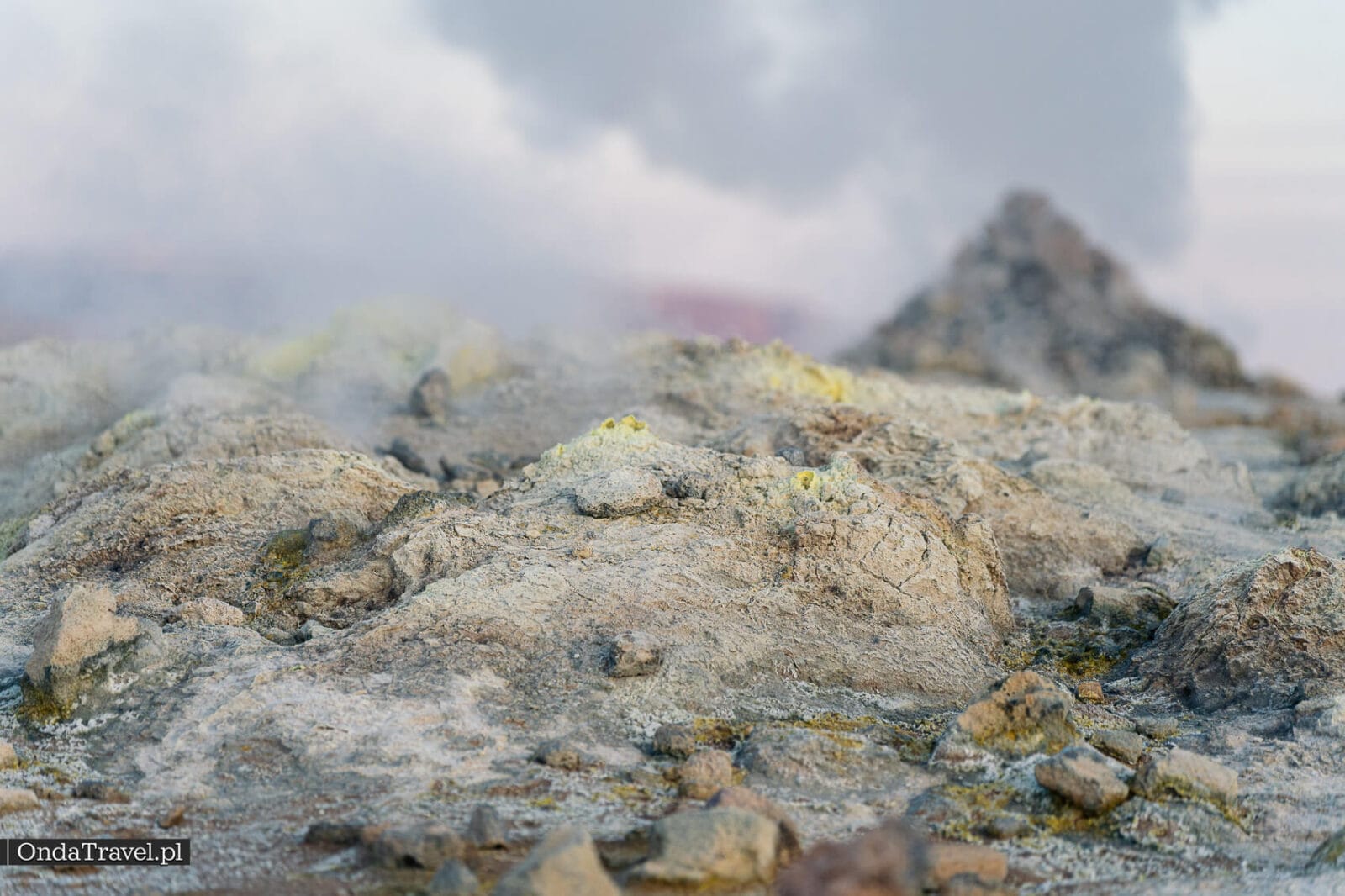
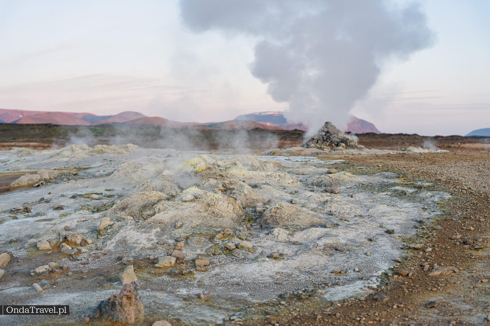
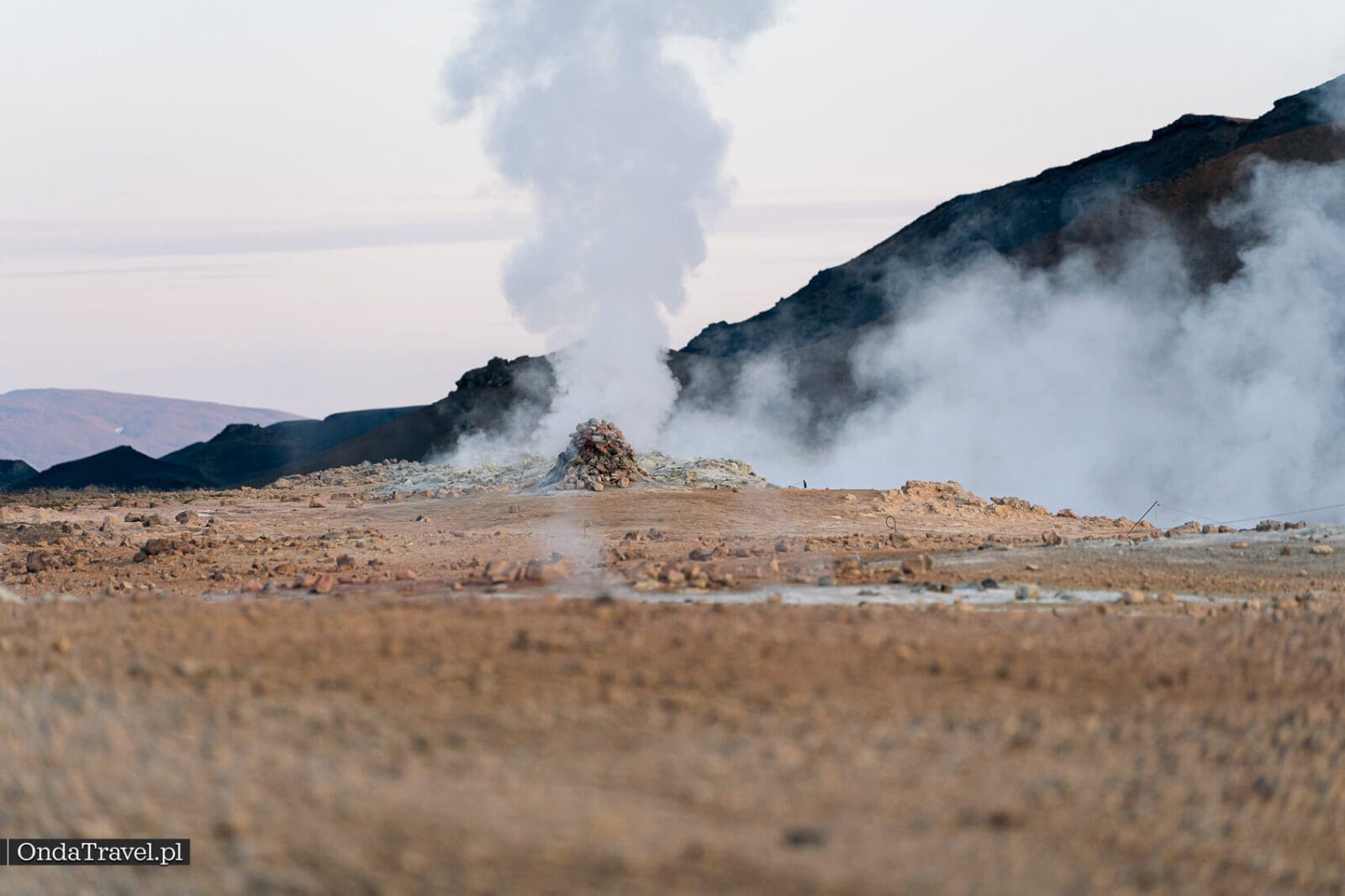
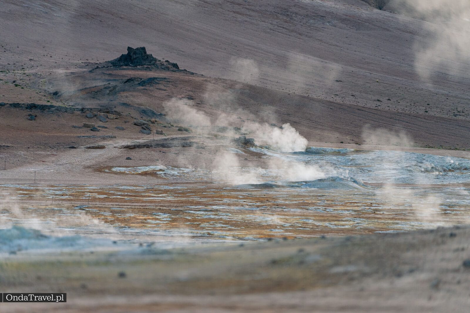
Visiting Hverir – route between the fumaroles
Allow about 30–60 minutes for the basic walk. The parking area is very close to the field, so you reach the first active features almost immediately. The marked route passes between the largest mud pots and fumaroles.
Someone taking only a few photographs may finish sooner. A photographer, geology enthusiast or traveller who wants to watch the mud at a relaxed pace can easily spend more than an hour here. You will also need more time if you plan to hike up Námafjall.
- 20–30 minutes:a quick stop, the main mud pots and a few photographs.
- 45–60 minutes:a relaxed walk through the entire safe section of the field.
- 2–3 hours:Hverir combined with a hike up the Námafjall ridge, if conditions are good.
The ground can be clayey, uneven and very slippery after rain. Mud sticks firmly to soles, so closed, waterproof footwear with good grip is the best choice. Light-coloured shoes may need thorough cleaning after the visit.
How do you get to Hverir and how does the parking system work?
Hverir lies directly beside Route 1, east of Lake Mývatn and the village of Reykjahlíð. You do not need to use an F-road. In summer, under normal conditions, the site is accessible in a standard passenger car.
When driving from Akureyri, you pass Reykjahlíð and the area around Earth Lagoon Mývatn before continuing towards the Námaskarð pass. When approaching from Egilsstaðir, you see the field before descending towards the lake. The white plumes of steam are usually visible from the road.
Parking is paid, but the fee and payment method may change. Different systems and prices have appeared in recent years, so the most reliable rule is simple: read every sign at the entrance and check the payment machine before leaving your car. The absence of a barrier does not mean that parking is free.
- Enter the correct registration number if the machine or app requires it.
- Keep your proof of payment until the end of the day.
- Do not stay overnight in the parking area or treat it as a campsite.
- Do not stop beside Route 1 simply to avoid the parking fee.
- In winter, check road accessibility, wind and visibility before setting out.
Safety at Hverir – the most important rules
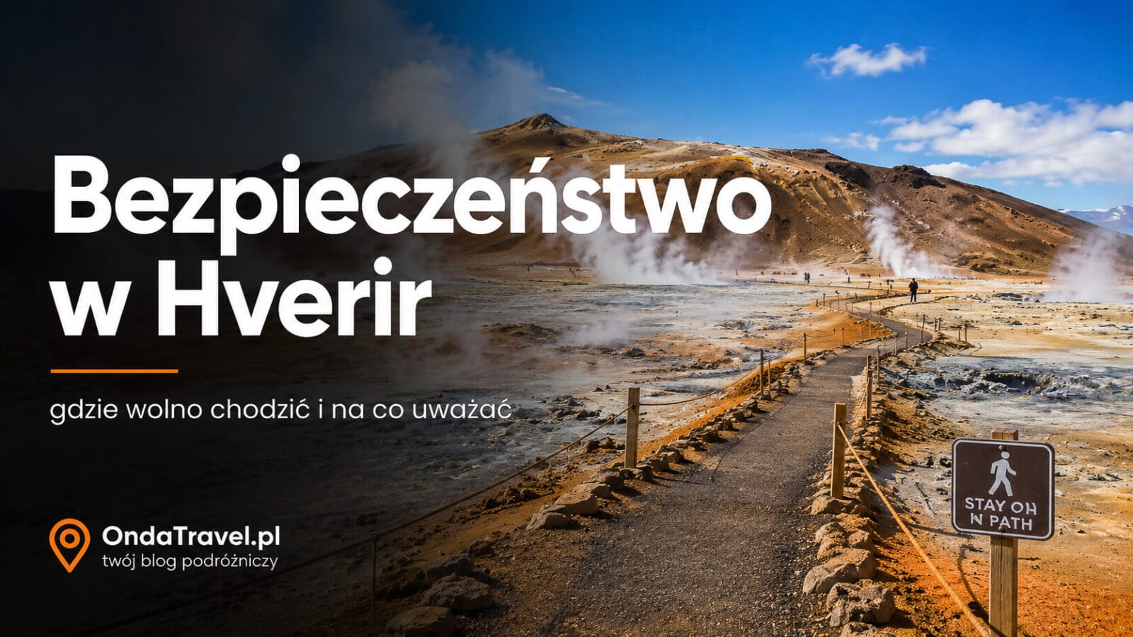
At Hverir, you must remain on the marked paths because of hot mud, steam and an unstable crust.
Do not leave the marked route.A crust that looks solid may be thin, with extremely hot mud or water beneath it. Official information warns of serious burns suffered by people who crossed the barriers.
- Walk only on the marked path and do not cross the ropes.
- Do not touch the mud, water, rocks or yellow deposits.
- Do not test the ground temperature with your hand or the sole of your shoe.
- Do not lean your face over a fumarole or remain in dense steam for long periods.
- In strong winds, expect visibility to deteriorate suddenly.
- In an emergency, call Iceland’s emergency number, 112.
Is the smell of sulphur dangerous?
The smell resembling rotten eggs comes mainly from hydrogen sulphide. During a short visit in an open area, it is usually more unpleasant than dangerous, but its intensity depends on wind direction and the activity of individual vents.
People with asthma, respiratory conditions, migraines or a strong sensitivity to smells should take particular care. If you experience dizziness, nausea, headache or breathing difficulties, move away from the steam and return to a well-ventilated area.
Hverir with children and visitors with limited mobility
The site can be visited with children, but they require constant supervision. Low ropes will not stop a child who starts running towards a mud pot. Young children should be held by the hand and clearly told in advance that they must not touch the ground or pass under the barriers.
The parking area is close to the field, but the route is not completely level or paved. Stones, mud and gentle slopes can make it difficult to use a pushchair or wheelchair. Accessibility must be assessed on site according to the weather and ground conditions.
Trail to Námafjall – a less obvious way to experience Hverir
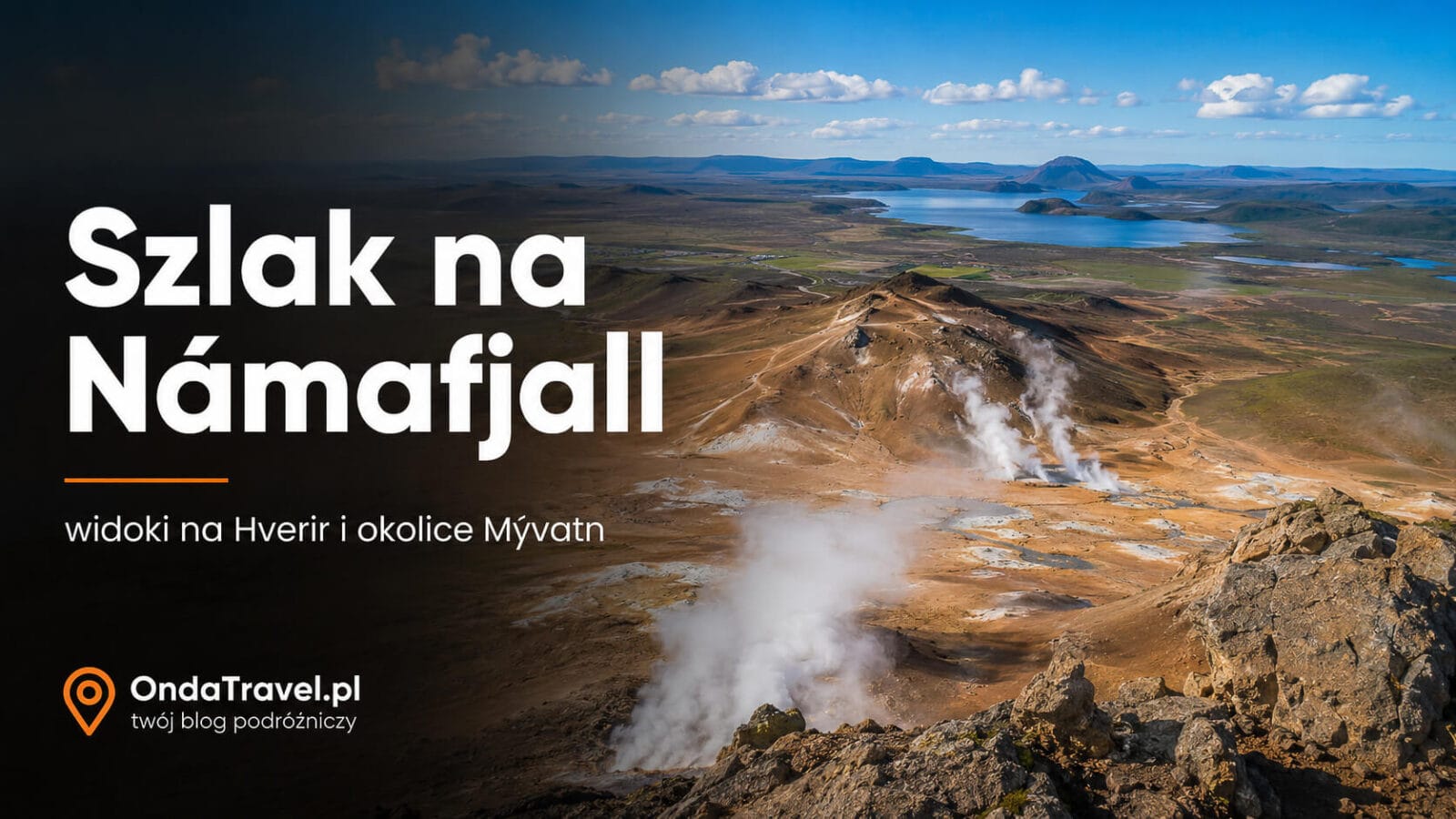
The Námafjall trail offers an elevated view of Hverir and the volcanic landscape of the Mývatn region.
Most visitors end their visit on the main field, but in good weather you can consider hiking up the Námafjall ridge. From above, you can better understand Hverir’s position in relation to Lake Mývatn, the lava fields and the Krafla system.
The ascent is much more demanding than the walk between the fumaroles. The terrain is steep, exposed, vulnerable to wind and muddy in places. Do not start the route in poor visibility, very strong winds, icy conditions or rapidly deteriorating weather.
- Wear hiking boots with grippy soles.
- Take a windproof jacket even on a sunny day.
- Do not take shortcuts across the active geothermal field.
- Turn back if the wind makes it difficult to keep your balance or clouds cover the ridge.
- Do not treat an estimated walking time as a guarantee — conditions change your pace.
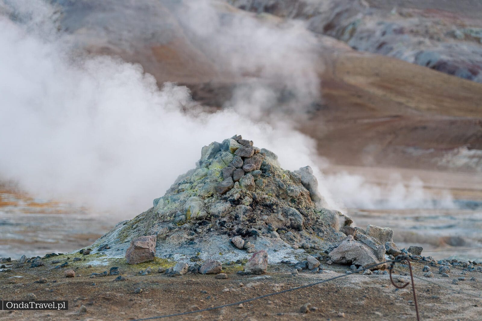
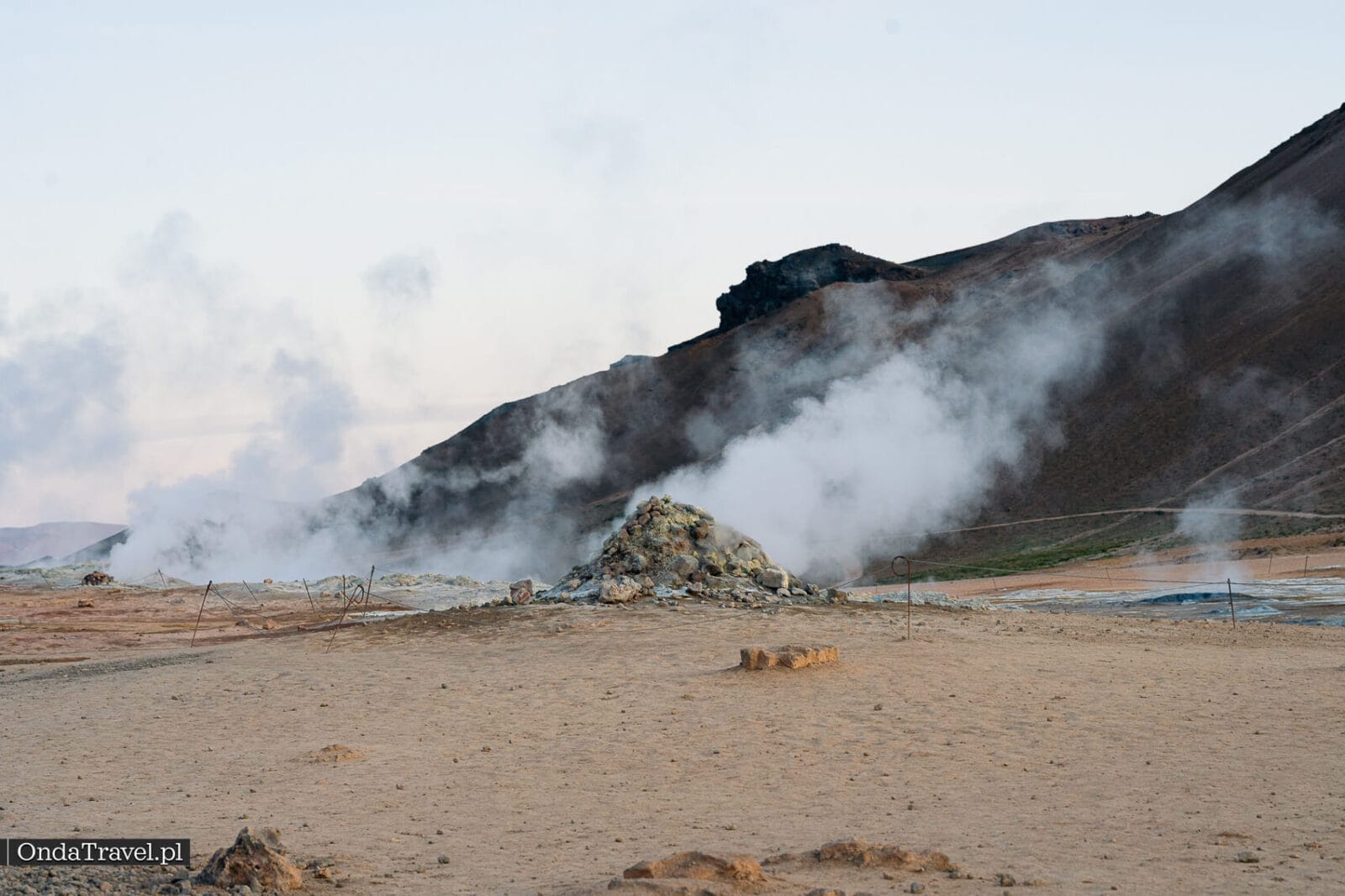
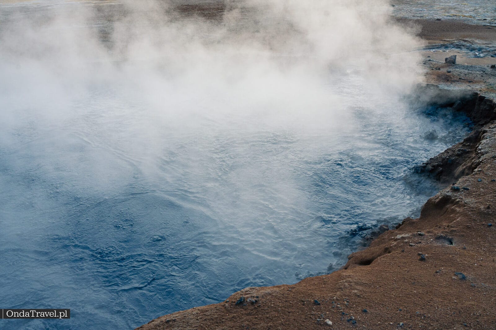
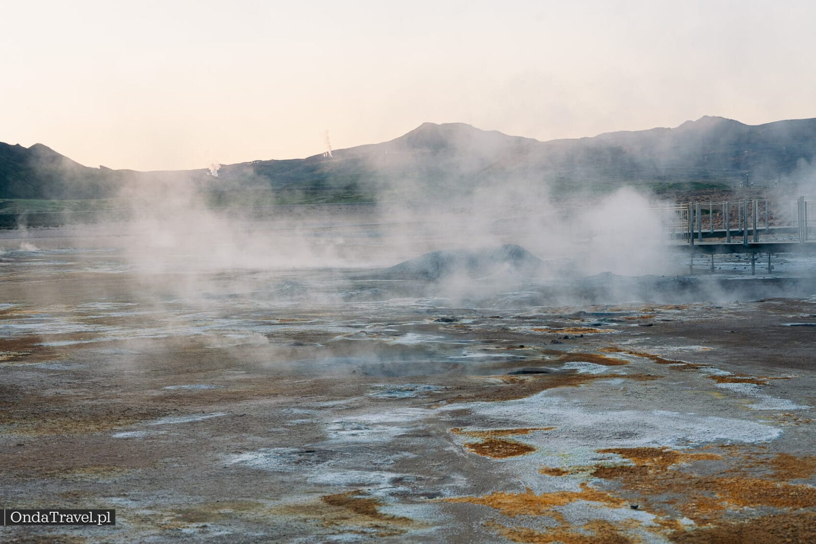
Námafjall – sulphur, steam and hot springs
When is the best time to visit Hverir?
Summer and the midnight sun
Summer provides the easiest access and extremely long daylight hours. In June and July, you can arrive late in the evening, after many tour groups have left the parking area, when low light emphasises the texture of the ground and the steam.
This does not mean stable weather. Hverir is exposed to wind, and it can feel cold even in midsummer. A waterproof jacket and a warmer layer should remain in the car only when the forecast genuinely allows it.
Autumn and the Northern Lights
Early autumn combines relatively easy access with fewer visitors. Darker nights and the chance of seeing the Northern Lights return from late August. The active field itself, however, is not a good place for walking at night beyond the illuminated route. For observations, choose a safe parking area and open ground without geothermal hazards.
Before heading out at night, checkIceland Northern Lights radar, but begin with cloud cover and the local weather. A high Kp index will not help if clouds cover the entire sky above Mývatn.

NORTHERN LIGHTS
Northern Lights in Iceland: radar and forecast
Check cloud cover, the aurora forecast and observing conditions before a night trip in the Mývatn region.
Winter and the spring thaw
In winter, snow and steam create one of the most spectacular contrasts in the region. At the same time, the road may be icy, paths snow-covered and visibility limited. Snow can hide the boundaries of hot ground, so staying on the marked route is even more important than in summer.
In spring, melting snow often turns clay sections into slippery mud. It is a good season for travellers who want to avoid crowds, but it requires a flexible plan and regular checks of current conditions.
How to photograph Hverir
The most expressive photographs are taken in low light, early in the morning or late in the evening. In harsh sunlight, bright steam easily loses detail and the mineral colours look flatter. An overcast day is not a failure: soft light emphasises the stark character of the terrain.
- Shoot from the side relative to the wind so that steam does not cover the entire frame.
- Use a short burst of photographs to capture the moment a large mud bubble bursts.
- A wide-angle lens shows the scale of the terrain, while a longer focal length lets you photograph details safely.
- Protect your camera from rain, moisture and fine droplets carried by the wind.
- Do not cross the ropes even if other people’s footprints suggest that someone has done so before.
The best element for showing scale is a person standing on the permitted part of the path. This prevents the steam and mud pots from looking like small, contextless patches.
Is Hverir worth visiting?
Yes, especially if this is your first journey through North Iceland. Hverir provides very easy access to active geothermal features and allows you to see processes that elsewhere remain hidden deep underground.
Several drawbacks should be considered honestly. The smell can be exceptionally intense, parking is paid, facilities are limited, and during busy periods the short loop may feel crowded. Someone who has already visited many geothermal fields may spend less time here than a traveller seeing fumaroles for the first time.
The greatest value of the site is its connection with the attractions of Krafla and Mývatn. Hverir alone is a powerful stop, but combining it with Leirhnjúkur, Víti, Hverfjall, Dimmuborgir and the lake reveals the full story of the region.
What can you see near Hverir and Lake Mývatn?
Near Hverir, you can visit the Víti crater, the Leirhnjúkur lava fields, the Krafla system and Grjótagjá cave.
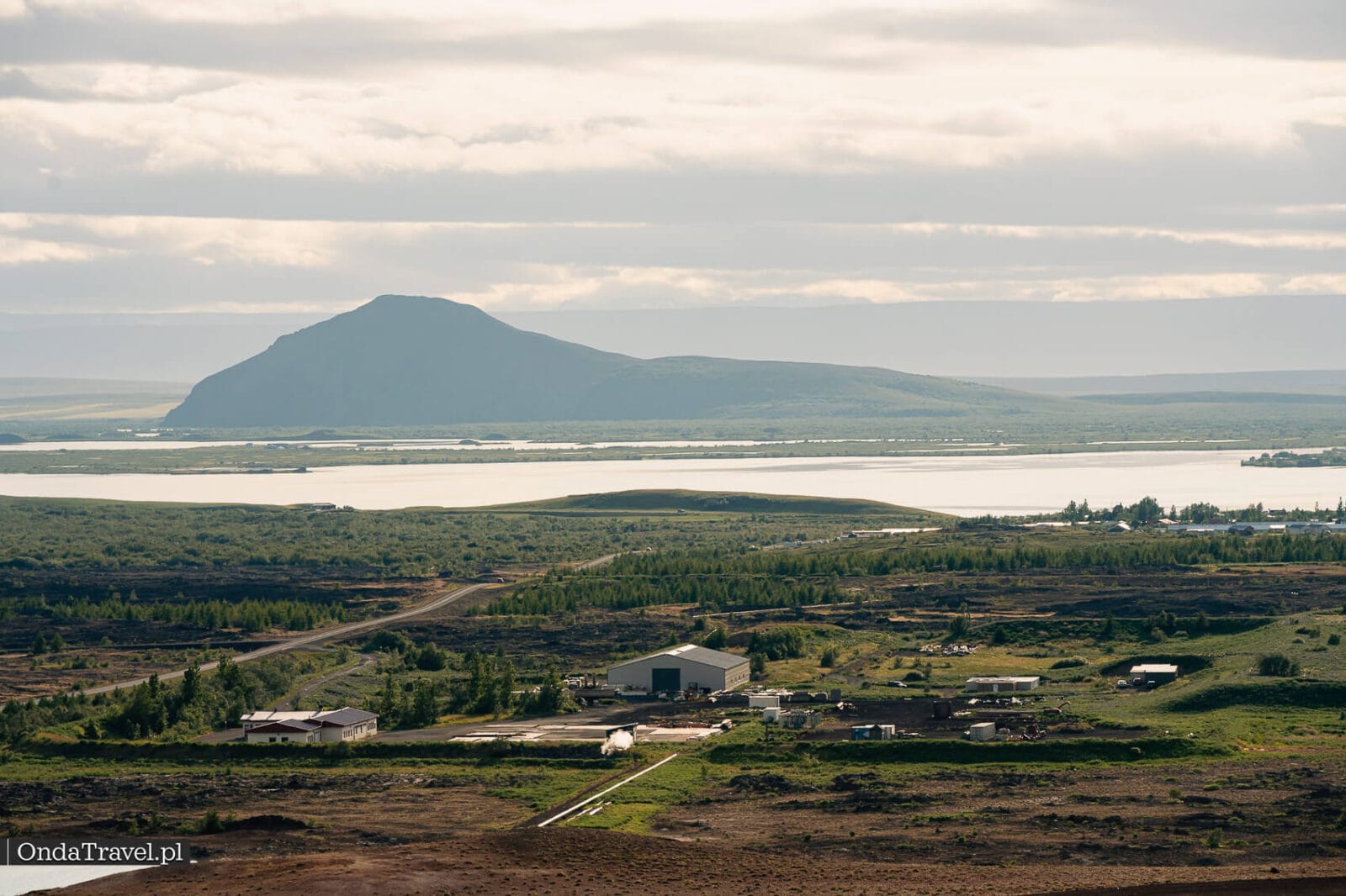
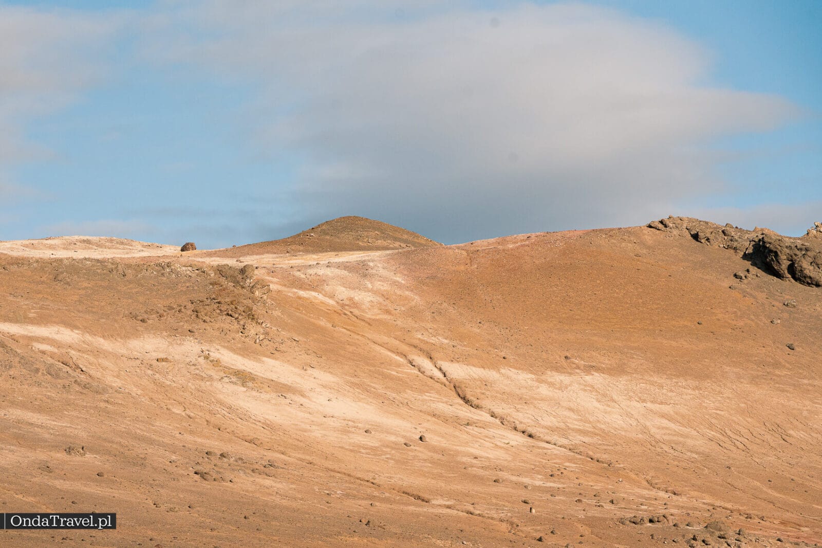
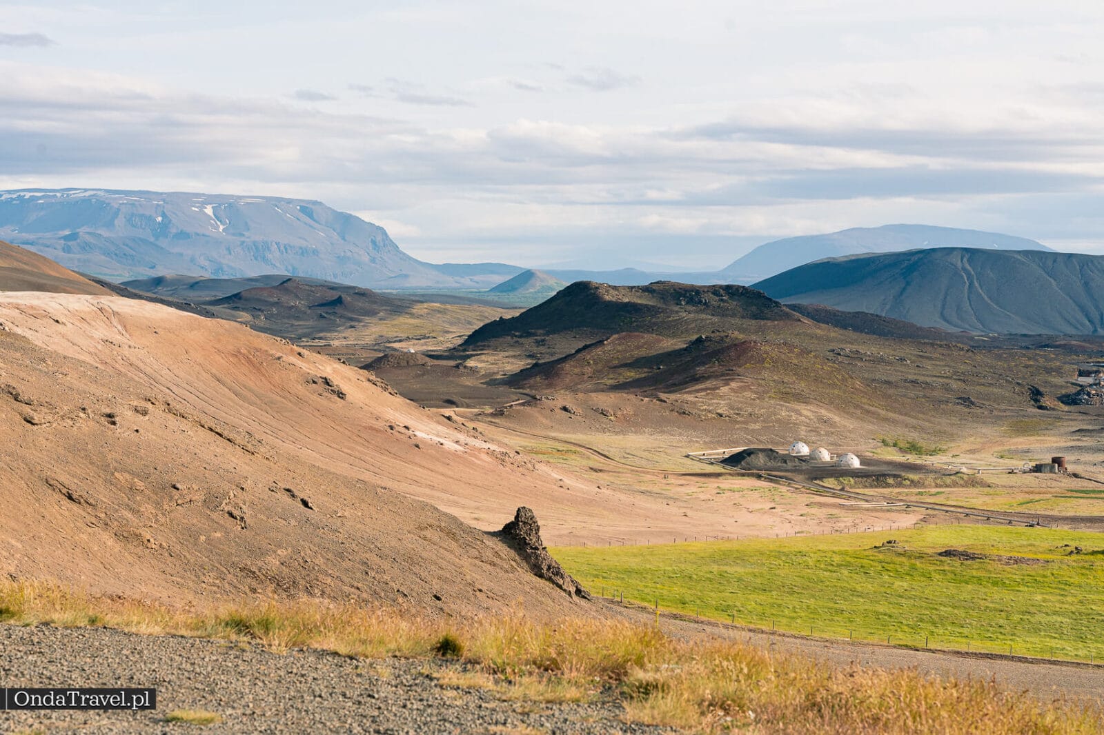
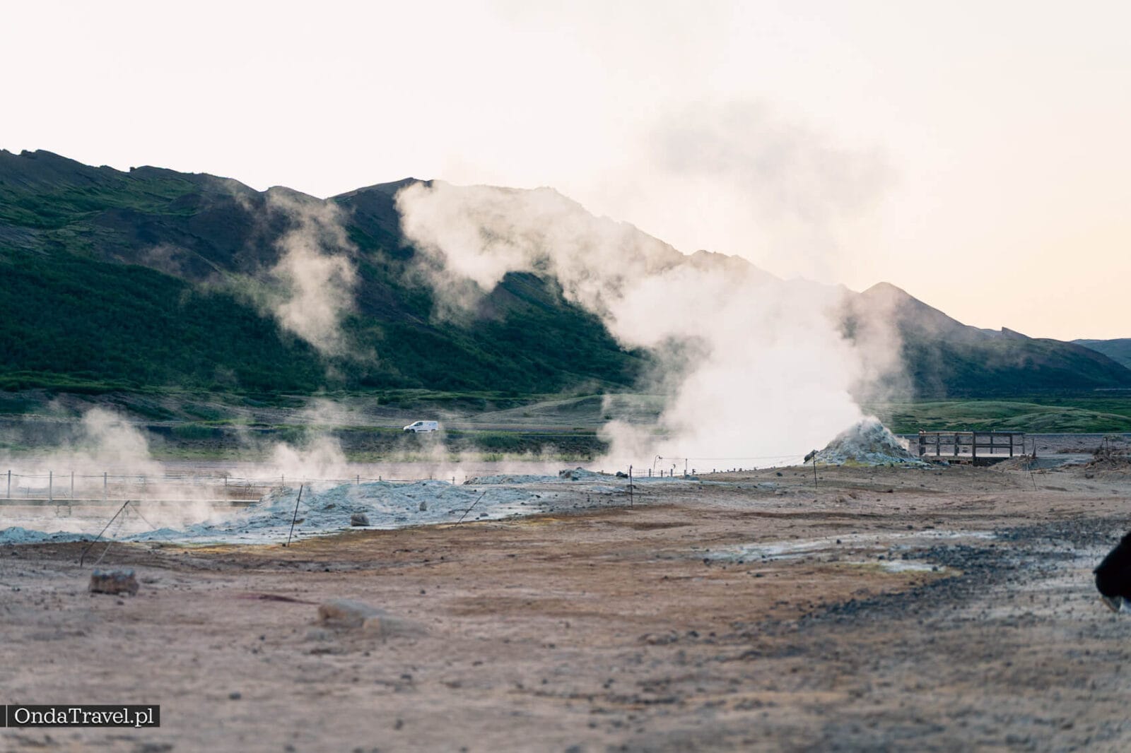
Lake Mývatn and the volcanic landscapes of North Iceland
The region’s greatest advantage is the short distance between very different landscapes. In a single day, you can see an active geothermal field, young lava fields, a volcanic crater, a cave with a fissure filled with hot water and extraordinary lava formations.
| Place | Why it is worth visiting | Time to allow |
|---|---|---|
| Krafla and Víti | Crater lake and the context of the Mývatn Fires, which began in 1724 | About 30–60 minutes |
| Leirhnjúkur | Lava fields created by the 1975–1984 activity, fissures and steaming ground | About 1.5–2.5 hours |
| Grjótagjá | Small lava cave with hot water; viewing only, no bathing | About 15–30 minutes |
| Hverfjall | Large explosion crater and panoramic views of Mývatn | About 1.5–2 hours |
| Dimmuborgir | Arches, pillars and a maze of solidified lava formations | About 45–90 minutes |
| Earth Lagoon Mývatn | Safe geothermal bathing after a day of sightseeing | About 1.5–3 hours |
| Lake Mývatn | Birds, pseudocraters, peninsulas and more tranquil landscapes | From half a day to two days |
Krafla and Víti crater
Víti crater formed in 1724 at the beginning of the period known as the Mývatn Fires. Today, a pale lake fills the crater, and a short route from the parking area leads to viewpoints. In good weather, you can walk along part of the rim while following the signs.
Leirhnjúkur – lava fields that still steam
Leirhnjúkur shows the effects of much more recent activity. Black lava fields, colourful ground and steam escaping from fissures are reminders that the 1975–1984 eruptions happened almost moments ago in geological terms. The route is longer and more demanding than the walk at Hverir.
Grjótagjá – a cave, but no bathing
Grjótagjá was once a local bathing place. Volcanic activity in 1975–1984 raised the water temperature, and visitors should not enter it today. The cave interior is small, rocky and slippery, so when it is busy it is best to wait outside.
Grjótagjá is also one of Iceland’s most recognisable “Game of Thrones” locations.The cave was connected with the Jon Snow and Ygritte scene in season 3 of the series. It was used as a real location and as a visual reference for the screen interior.
It is worth understanding how the scene was made: establishing shots referred to Grjótagjá, but most of the intimate interior scene was filmed in a studio on a set recreating the cave’s appearance. Grjótagjá is therefore an authentic place associated with the series, although not every part of the interior seen on screen was filmed here.
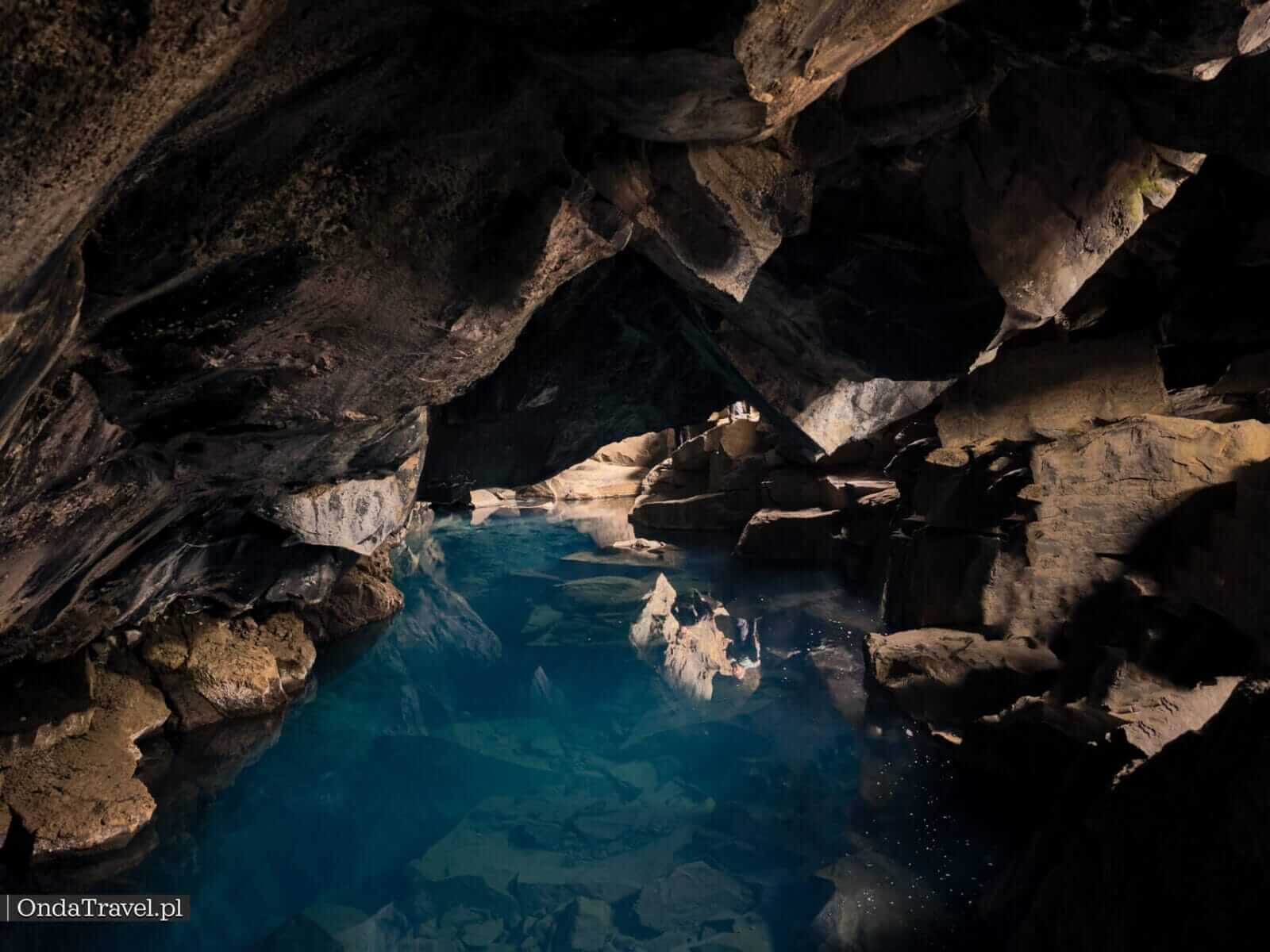
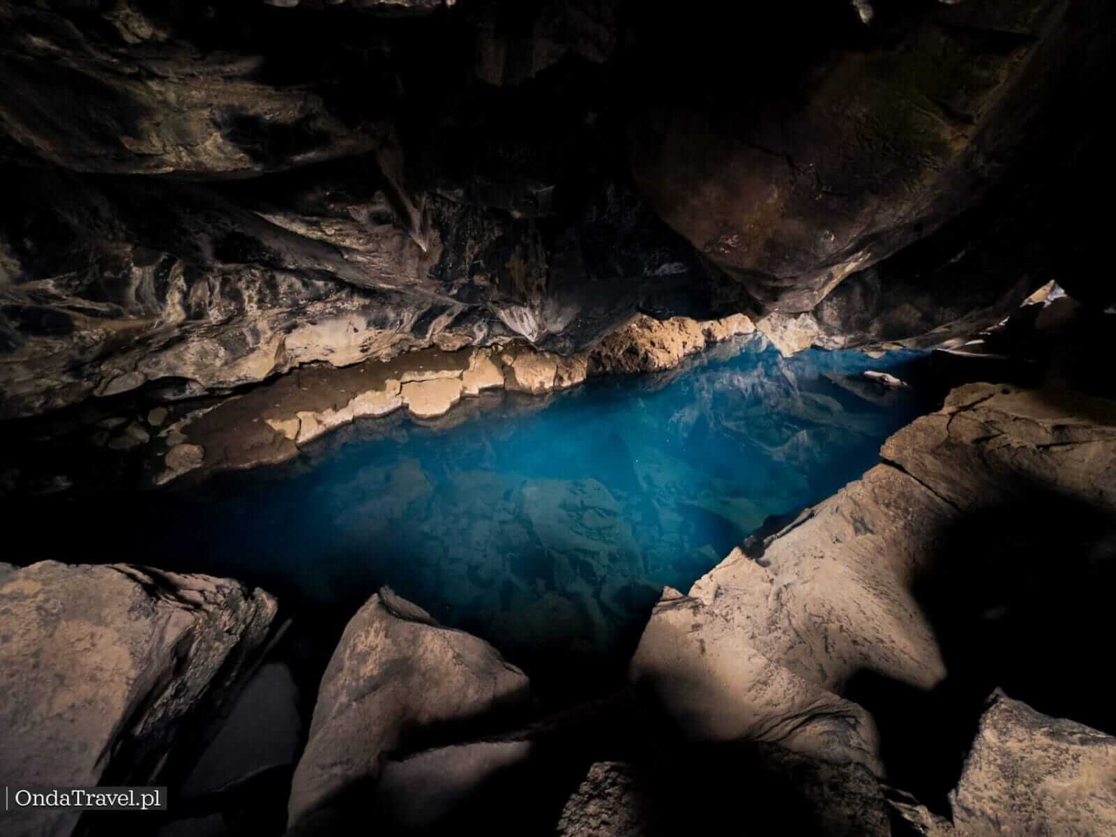
Grjótagjá – the lava cave known from “Game of Thrones”
Hverfjall and Dimmuborgir
Hverfjall is about one kilometre in diameter and around 140 metres deep. A steep trail leads to the rim and panoramic views of the lake and lava fields. Dimmuborgir offers a completely different walk, among solidified pillars, arches and natural walls formed by an unusual lava flow over wet ground.
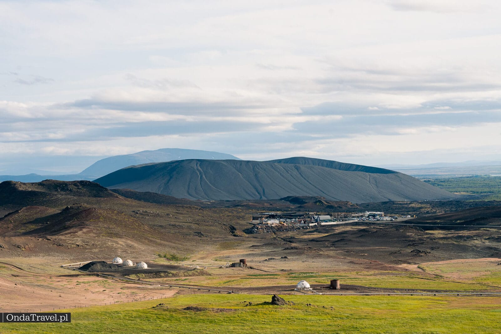
Hverfjall stands out because of its regular, dark ring, visible from many places around Lake Mývatn.
Earth Lagoon Mývatn – where you can enter the water safely
Surrounded by the mud and steam of Hverir, it is easy to want a geothermal bath, but the field itself is completely unsuitable for bathing. A safe alternative is the purpose-built Earth Lagoon Mývatn, still often recognised by its former name, Mývatn Nature Baths. Check current opening hours and bookings directly before your visit.
Read more about bathing rules and different types of locations in the guide tohot springs and geothermal pools in Iceland.

GEOTHERMAL BATHING
Hot springs and thermal pools in Iceland
A guide to safe places for bathing in geothermal water and Iceland's most interesting thermal baths.
Ready-made itineraries for Hverir and Mývatn
Half-day itinerary
- Hverir – 45–60 minutes.
- Krafla and Víti crater – 30–60 minutes.
- Grjótagjá – about 20 minutes.
- A short stop beside Lake Mývatn.
This option works well while travelling along Route 1. It does not attempt to include a long hike and leaves a margin for weather and parking payments.
Full-day itinerary
- Hverir in the morning, before the busiest period.
- Krafla and Víti.
- Walk at Leirhnjúkur.
- Grjótagjá.
- Dimmuborgir or a hike up Hverfjall.
- An evening bath at Earth Lagoon Mývatn.
Do not force both Hverfjall and a long Leirhnjúkur walk into the same day in strong winds or after a late start. One complete walk is better than two rushed ones.
Two-day itinerary
Day one:Hverir, Víti, Leirhnjúkur and a geothermal bath.Day two:Grjótagjá, Hverfjall, Dimmuborgir, the Höfði peninsula and the Skútustaðagígar pseudocraters. This division lets you respond to the weather and avoids spending the entire day in the car.
Planning a trip around Iceland? Start with the main guide
Hverir is one of the most important stops in North Iceland, but it is best planned as part of a wider route through the Mývatn region, the Krafla system and the Ring Road. In the mainIceland – guides, routes and attractionshub you will find OndaTravel’s organised resources: ready-made itineraries, regions, waterfalls, geothermal attractions and practical guides for a first trip.
This article keeps a narrow focus and answers detailed questions about Hverir, parking, safety and visiting. The Iceland hub serves as the main starting point for the wider topic cluster, allowing you to move from a single attraction to a complete route without mixing the scope of the two pages.

MAIN ICELAND HUB
Iceland: guides, routes and attractions
OndaTravel's main starting page for planning a trip around Iceland: ready-made routes, regions, attractions, geothermal sites, waterfalls and practical advice.
If Hverir forms part of a longer road trip, also see the7-day Iceland itinerary. Northern Iceland requires deliberate choices: on a one-week route, Mývatn must be balanced sensibly with the south and west of the island.
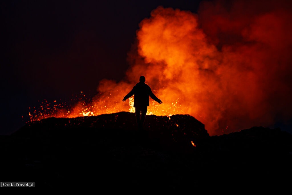
TRAVEL ITINERARY
Iceland in 7 days: route and day-by-day itinerary
A ready-made route for travellers who want to combine Iceland's most important places in a logical itinerary.
Film locations around Hverir and Lake Mývatn
Grjótagjá – Jon Snow and Ygritte.This small lava cave became one of the most recognisable places associated with season 3 of “Game of Thrones”. The production used Grjótagjá as a location and as a reference for the screen cave, but most of the intimate interior sequence was recreated in a studio. More information is available from the official regional websiteVisit Mývatn.
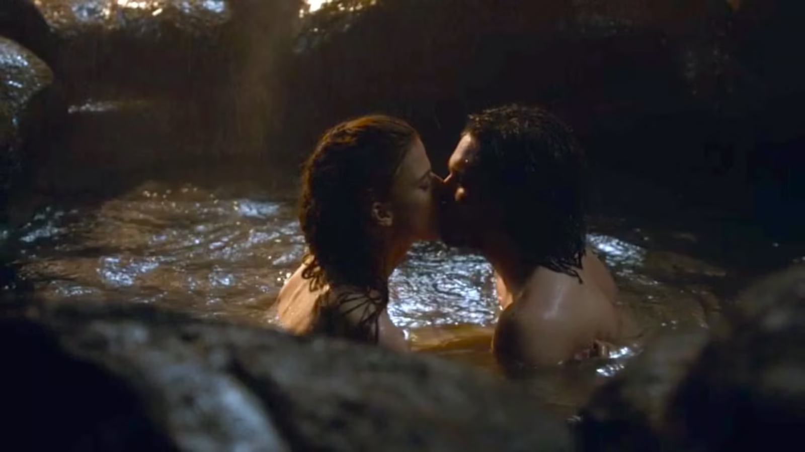
Grjótagjá in “Game of Thrones” – Jon Snow and Ygritte
Dimmuborgir – the wildling camp.The Dimmuborgir lava formations portrayed Mance Rayder’s army camp and part of the Haunted Forest. Together with Grjótagjá, they are among the most important locations representing the lands beyond the Wall in the Mývatn area.
Hverir – steam in place of a screen blizzard.Steam and mist rising above the geothermal area helped create the effect of a snowstorm in Sam’s scene beyond the Wall at the beginning of season 3 of “Game of Thrones”.
Kálfaströnd – an additional location beside Mývatn.This rocky peninsula beside the lake was also used in season 3 to portray lands north of the Wall. It is not a main focus of this guide, but it can be included in a longer drive around the lake.
Krafla and Námafjall in “The Tree of Life”.The stark geothermal fields of Krafla and Námafjall were used in Terrence Malick’s film “The Tree of Life” to depict the young Earth. This is one of the most important cinematic connections among the places described in this guide.
Lake Mývatn in action cinema.The frozen surface of the lake served as the location for a car chase in“The Fate of the Furious”. The official Film in Iceland website also states that filming for“Kraven the Hunter”took place primarily around Mývatn.
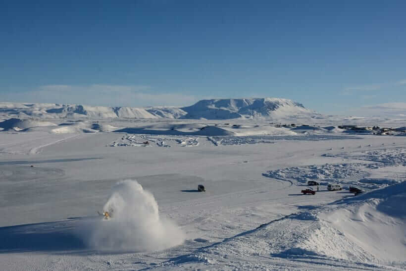
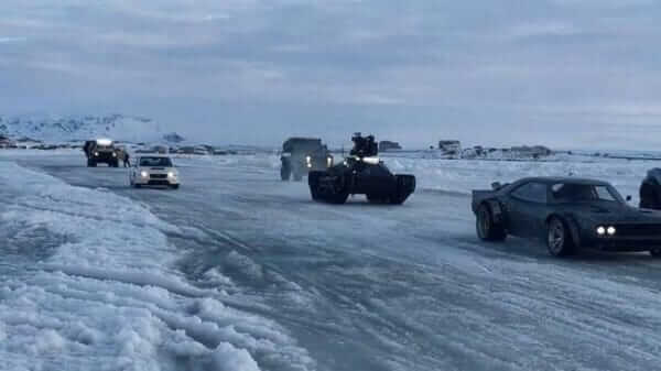
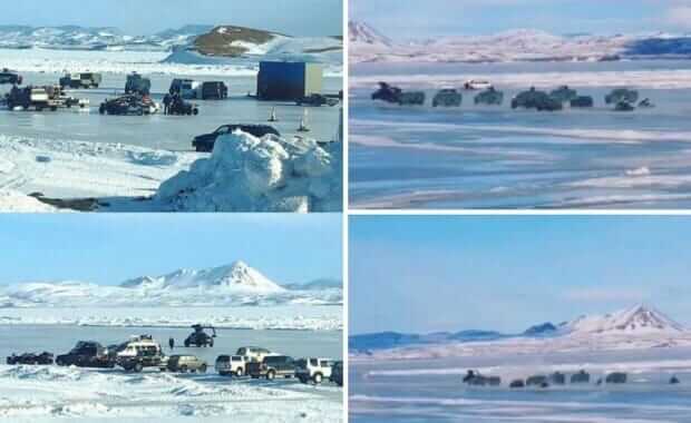
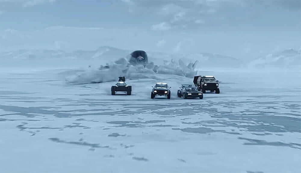
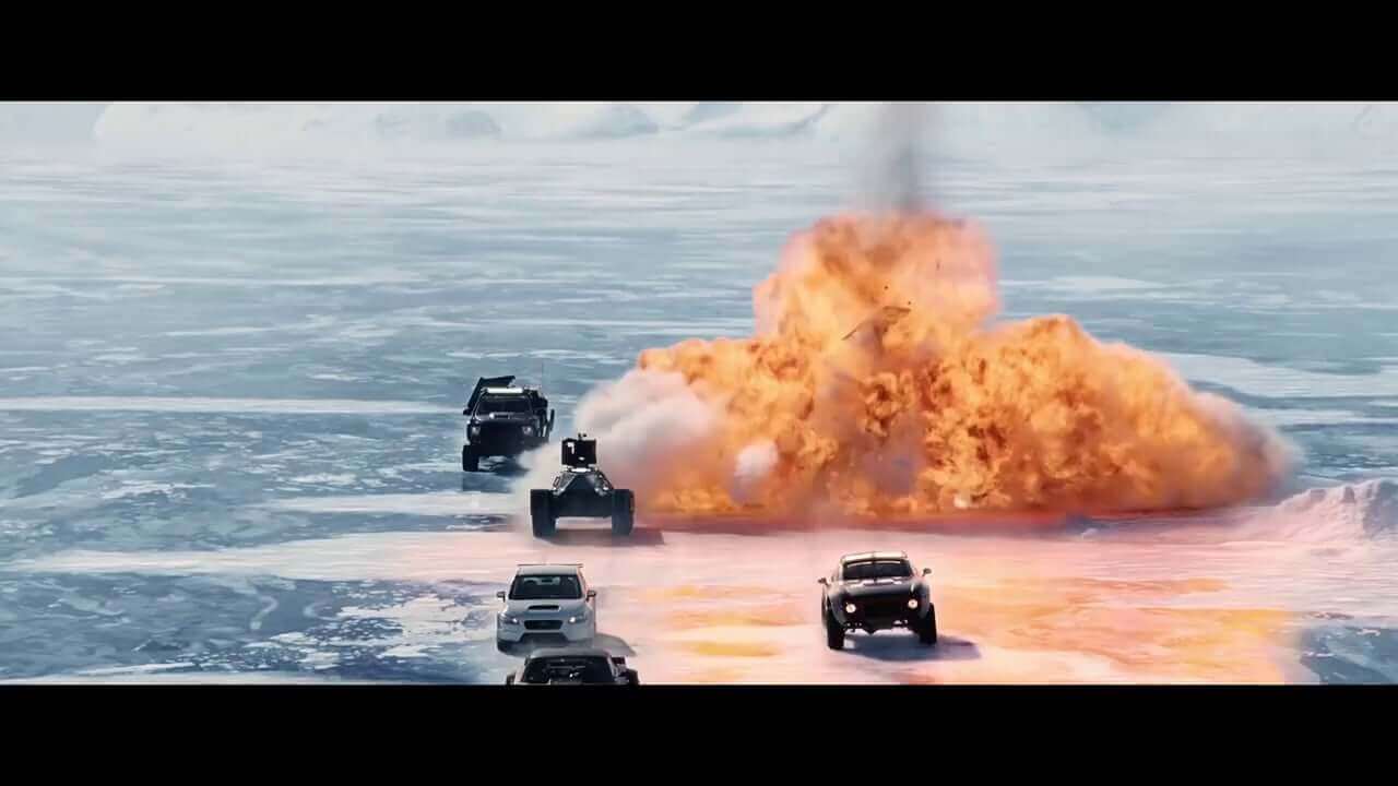
“The Fate of the Furious” – behind-the-scenes photographs and frames from Lake Mývatn
Material rights:frames from “Game of Thrones” © Home Box Office, Inc. (HBO), and frames from “The Fate of the Furious” © Universal Pictures. Behind-the-scenes photographs and comparison composites remain the property of their authors and original publishers.
Víti, Leirhnjúkur, Hverfjall and Earth Lagoon are worth visiting primarily for their landscapes, geology and volcanic activity. More places known from the screen can be found in thefilm tourism section.

FILM TOURISM
Film tourism: travel in the footsteps of films and television series
Discover real landscapes known from films and series and plan routes through confirmed filming locations.
Why is Hverir compared to Mars?
The comparison is not based only on the orange ground and absence of vegetation. Scientists study Hverir as an example of an acidic hydrothermal environment in which hot water, steam and sulphur compounds intensely alter rocks.
The products of these processes include minerals also detected on Mars, such as jarosite and hematite. Analysing terrestrial analogues helps scientists interpret data returned by probes and rovers. This does not mean that Hverir is a copy of the Martian surface. The similarity concerns mainly geochemical processes and the mineral traces they leave.
Useful official information before your trip
Road conditions, weather and on-site rules can change faster than a guide can be updated. Check the official websites before setting out, and base any decision about a winter drive or a hike up Námafjall on current information.
- Visit Mývatn – Hverir, Hverarönd and Námafjall
- North Iceland / Diamond Circle – Námafjall
- SafeTravel Iceland – alerts and safety
- Umferdin – current road conditions
- Icelandic Met Office – weather and warnings
Read next: Iceland, geothermal landscapes and the night sky
Hverir is best understood as part of a wider journey. The guides below help you plan a route, choose safe bathing places, check the aurora and discover Iceland’s cinematic landscapes.
Iceland in 7 days – day-by-day itinerary
A ready-made route through Iceland’s most important regions and attractions, organised day by day.
See the itineraryHot springs and geothermal pools in Iceland
A guide to Icelandic geothermal bathing places, prices, directions and safe use of the water.
See Iceland’s hot springs
Northern Lights in Iceland – radar and forecast
Check cloud cover, current conditions and the chances of seeing the Northern Lights during your trip.
Check the aurora radarFilm tourism – places known from the screen
Guides to real places known from films and television series, including locations in Iceland.
Open the section


Hi, I’m Krystian “dziadzia przewodnik” from OndaTravel.pl!
The North is my greatest passion, but the world is far too beautiful to stay in just one climate. On my blog, I combine the raw landscapes of Iceland and Norway with the exotic energy of Thailand or Vietnam, showing you how to travel authentically — with passion and a camera in hand.
What will you find on OndaTravel.pl?
Visual storytelling: As a photographer and filmmaker, I don’t just describe places — I take you there with professional photos and video.
North expert: Ready-to-use road trip plans for Iceland and Norway, smart tips for budget travel, and my original Northern Lights Radar (locations and forecast).
Travel through the lens of cinema: I track down filming locations — from icy scenes in Interstellar to tropical frames from world cinema.
New direction: Exotic destinations: I love contrast, so the blog is featuring more and more practical knowledge about Vietnam and Thailand. I’ll show you how to find your way around Southeast Asia and come back with your best memories.
P.S. follow me here


Frequently asked questions about Hverir
Are Hverir and Námaskarð the same place?
The names are often used interchangeably, but they do not mean exactly the same thing. Hverir or Hverarönd is the geothermal field, Námafjall is the mountain ridge, and Námaskarð is the name of the nearby pass.
Is Hverir a geyser?
No. Hverir is a geothermal field with fumaroles, steaming fissures and mud pots. There is no single regularly erupting geyser similar to Strokkur.
How long does it take to visit Hverir?
Allow about 30–60 minutes for the main field. With photography or a hike up the Námafjall ridge, the visit may take two to three hours.
Is parking at Hverir paid?
Yes, parking is paid. The fee and payment method may change, so check the current signs and machine on site and enter the vehicle registration number correctly.
Can you bathe at Hverir?
No. The mud, water and steam can be extremely hot, and the ground crust is unstable. For bathing, choose a purpose-built facility such as Earth Lagoon Mývatn.
Is Hverir dangerous?
The site is safe for visitors who remain on the marked route. Leaving the path can cause serious burns because a thin crust may conceal hot mud or water.
Can you visit Hverir with children?
Yes, but children must remain under constant supervision. Keep them close and do not allow them to run or pass beneath the low safety ropes.
Do you need a 4×4 vehicle to reach Hverir?
Not in summer under normal conditions, because Hverir lies beside Route 1. In winter, choose a vehicle according to current road conditions, the forecast and your own experience.
Can you visit Hverir in winter?
Yes, if Route 1 is open and the weather allows a safe walk. Snow can hide the boundaries of hot ground, so you must not leave the marked route.
Why does Hverir smell like rotten eggs?
The characteristic smell comes mainly from hydrogen sulphide in the geothermal gases. Its intensity changes with wind direction and fumarole activity.
What should you combine with Hverir?
The most logical combination is Krafla, Víti crater and Leirhnjúkur. On a longer itinerary, add Grjótagjá, Hverfjall, Dimmuborgir, Lake Mývatn and a bath at Earth Lagoon.
Can you fly a drone over Hverir?
Do not assume that flying is always permitted. Before take-off, check current aviation regulations, on-site signs, the landowner’s rules and the required distance from people, roads and infrastructure.



Sorry, the comment form is closed at this time.